For 18 days, since November 20, San Francisco has recorded zero rainfall, while storm systems veer sharply northward into Canada, much like emergency maneuvers. A colossal high-pressure dome locked over the northeastern Pacific spins clockwise with such force that December 2025 could become California’s driest month in nearly a century.
The atmospheric shield has transformed into a concrete barrier impervious to Pacific moisture. But what’s driving this anomaly—and when it cracks—could reshape California’s water supply for years to come.
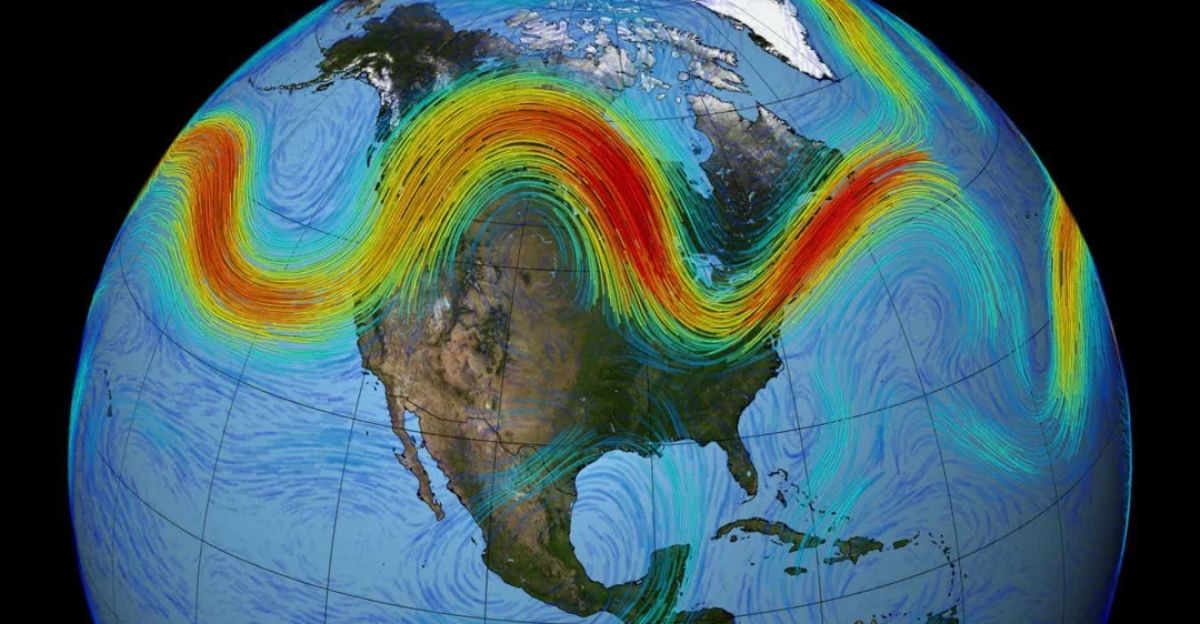
The Ridge That Won’t Budge
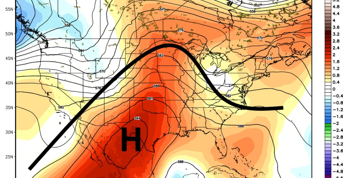
The high-pressure ridge operates like an invisible dam, systematically redirecting every Pacific storm northward before reaching the coastline. European weather models assign an 80% probability that San Francisco will receive less than one inch of rain through December 12, with a 40% chance of zero precipitation.
Blocking patterns force storms east of the Sierra Nevada to move eastward as “inside sliders,” dropping moisture inland rather than along California’s coast. Clouds exist, but California remains parched—a meteorological paradox.
The Perfect Storm of Conditions
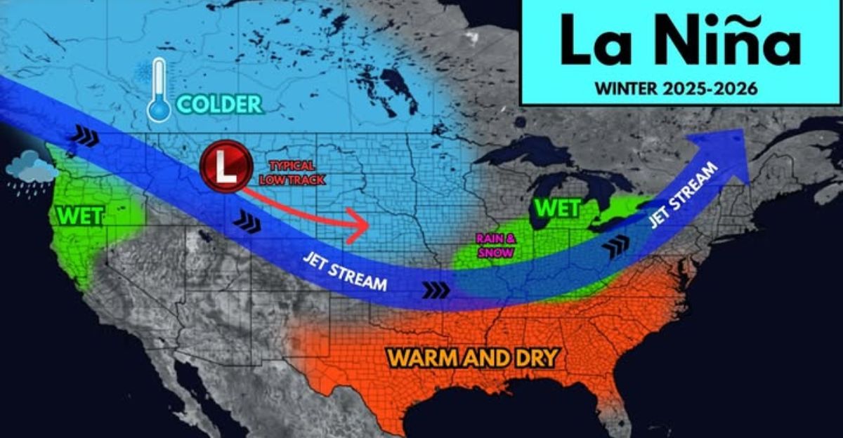
Three converging atmospheric forces created this unprecedented blocking pattern. Weak La Niña conditions have officially been established in the central Pacific, with a 55% likelihood of persisting through February 2026, which is expected to shift the jet stream poleward, steering winter storms toward the Pacific Northwest.
A rare “Canadian Warming” event saw atmospheric energy rebound from the stratosphere in late November, amplifying and solidifying the high-pressure ridge. This stratospheric disruption increases confidence in cool, dry conditions through mid-December.
The Arctic Connection Nobody Expected
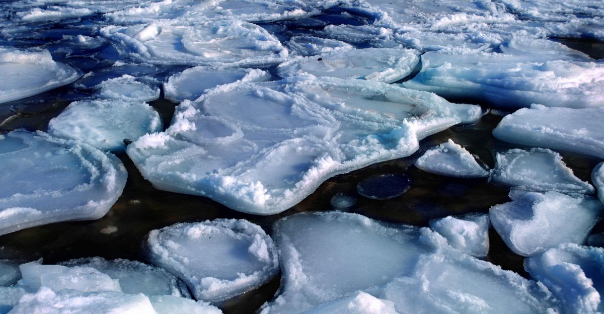
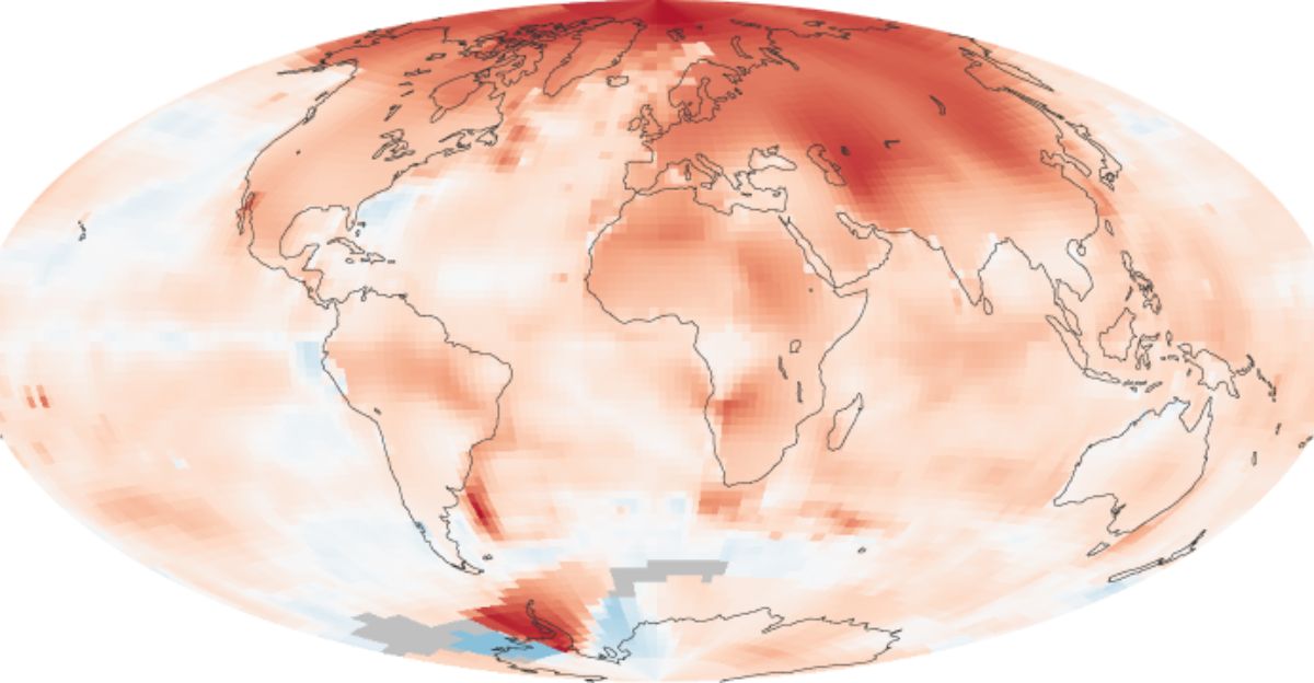
Scientists are increasingly linking West Coast high-pressure blocking patterns to record-low Arctic sea ice extents, a relationship that seemed implausible five years ago. When Arctic sea ice retreats historically, the exposed dark ocean absorbs solar radiation, warming the Arctic atmosphere and altering Northern Hemisphere circulation patterns.
This Arctic amplification pushes the polar jet stream poleward, weakening the temperature gradient driving Pacific storms toward California. Nature’s November 2025 publication confirms that accelerating Arctic ice loss directly triggers longer, more frequent West Coast blocking events.
Central Valley’s Unprecedented Fog Siege
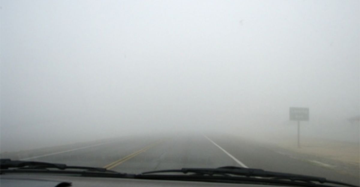
An exceptional 16-day tule fog stretch has blanketed the Central Valley since late November, with a duration more than double the typical duration of fog events. Visibility drops to 10 feet or less, stretching nearly 400 miles from Bakersfield past Sacramento.
Sacramento’s average daily high plummeted to 50°F, marking the coldest late November to early December since 1972. Dense fog advisories became routine; the California Highway Patrol reported multiple serious traffic incidents along the Grapevine section of Interstate 5.
Sierra Nevada’s Alarming Snowpack Deficit
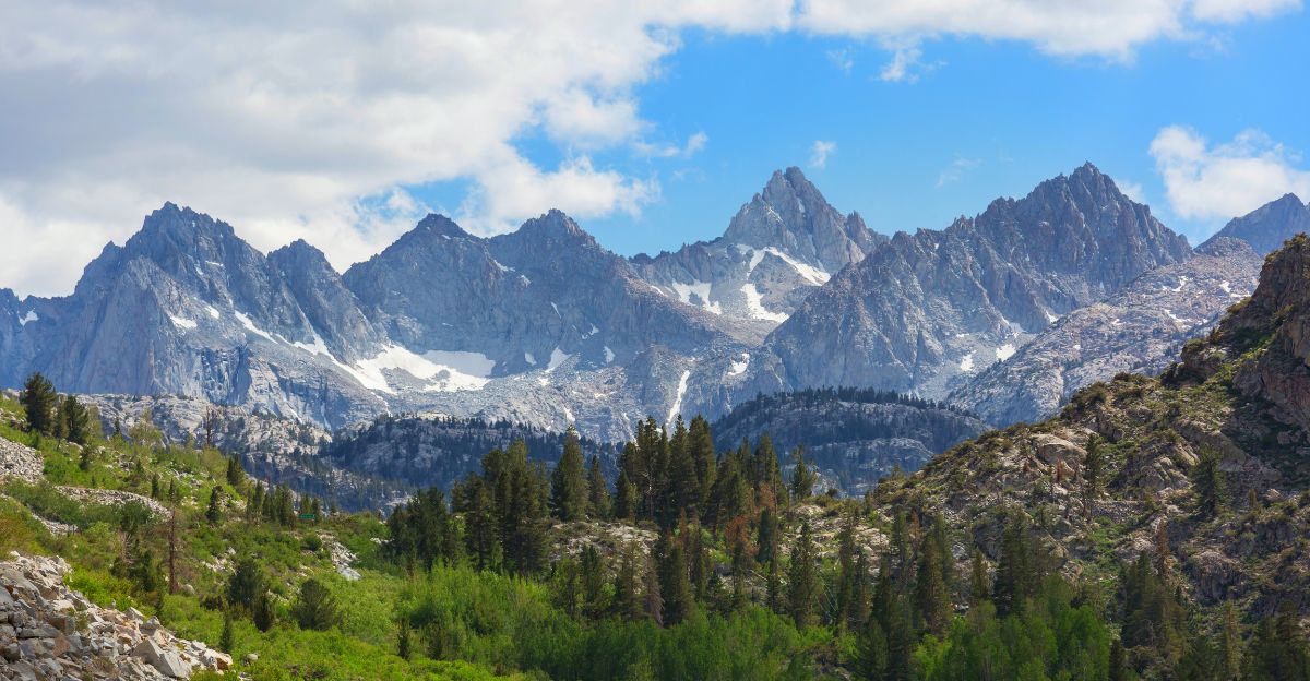
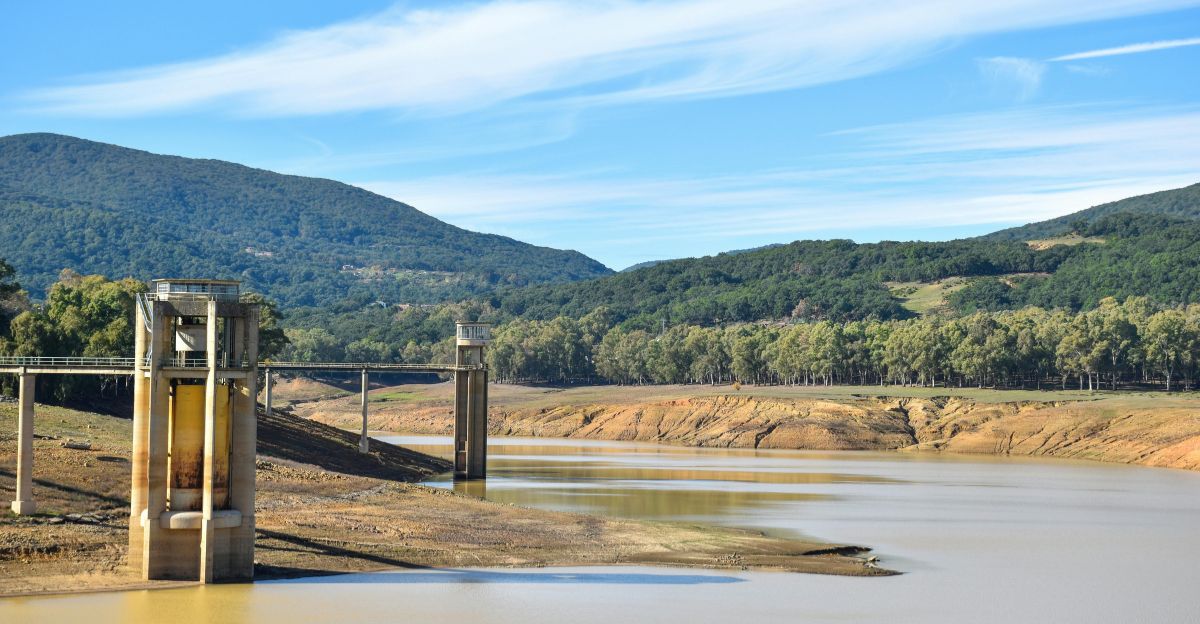
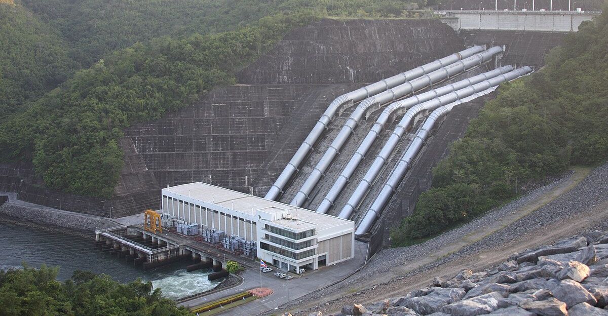
The northern Sierra Nevada snowpack stands at 16% of average for this date, with above-freezing temperatures melting the modest accumulations from November. This represents a critical failure point for California’s water infrastructure, as mountain snowpack serves as the state’s natural reservoir, releasing water gradually through spring and summer.
Ski resorts face operational challenges, relying heavily on artificial snowmaking to supplement inadequate natural bases. Temperature inversions prevent fresh snow accumulation at critical elevations.
State Water Project Allocation Plummets
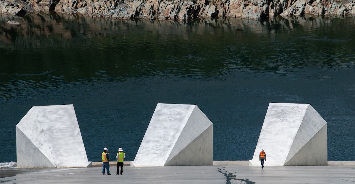
The California Department of Water Resources delivered devastating news on December 1: the State Water Project allocation dropped to 10% of requested supplies, the lowest mark in years. This preliminary allocation reflects low snowpack and an extended dry outlook through the new year.
Despite autumn’s wet weather boosting reservoirs to 115% of normal statewide storage, the sustained December drought threatens to reverse those gains rapidly. Allocations will adjust based on winter storm activity, but current climate models offer little optimism.
What This Means for California’s 2026 Water Year
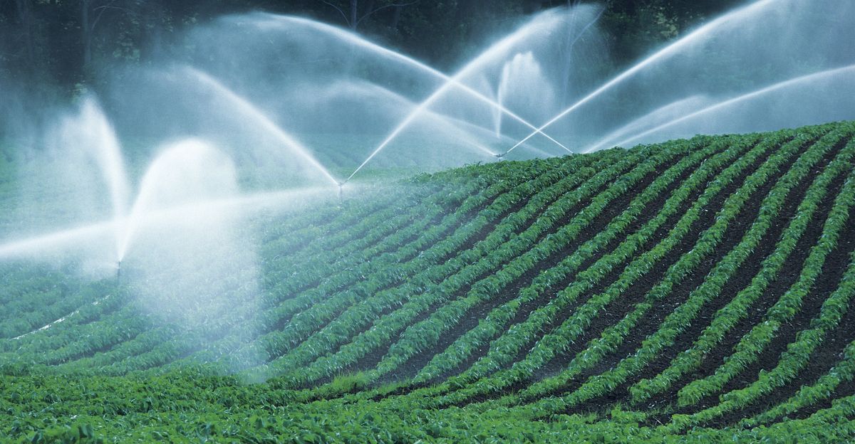
Water insecurity now threatens not just December precipitation but the entire 2026 water year, historically California’s most critical snowmelt-fed supply period. Agricultural operations planning spring planting faces acute uncertainty, while urban water districts model conservation mandates for ratepayers.
The California Natural Resources Agency has begun preliminary discussions on a drought declaration, although officials remain cautious given the volatile nature of winter. Hydroelectric power generation across California’s dam system is expected to face reduced output, potentially affecting summer electricity rates.
Scenario One: The Pacific Jet Stream Breakthrough
Meteorologists identify December 10-14 as the most likely breakthrough window, if the Pacific jet stream strengthens sufficiently to push the high-pressure ridge eastward into the U.S. interior. A powerful upper-level trough would develop over the western Pacific, physically forcing the blocking ridge away and exposing California to warm, moisture-laden atmospheric rivers.
This breakthrough could deliver significant precipitation within 48-72 hours, though warm air initially causes rain rather than snow at high elevations. Rain-on-snow events can trigger dangerous flooding and rapid runoff, rather than the gradual snowmelt that typically occurs.
Scenario Two: The Gradual Eastward Shift
Meteorologists assign a higher probability to slower, gradual eastward ridge movement, opening windows for storms to track parallel to the Pacific coastline. This scenario brings cooler systems originating near Canada, potentially delivering desperately needed high-elevation snow.
However, “gradual” translates to delayed relief—this pattern requires 10-14 additional days to establish fully. Extended forecasts favor drier-than-normal conditions through New Year’s Day, with only modest improvement in late December storm chances.
Why This Pattern Is Becoming Increasingly Common
High-amplitude atmospheric blocking patterns have become measurably more frequent along the West Coast over two decades. Research indicates that these persistent ridges are linked to Arctic amplification and interdecadal shifts in North Pacific sea surface temperatures.
Blocking patterns lasting 10-14 days are statistically more common than historical records from the 20th century suggest. Climate researchers investigate whether anthropogenic climate change significantly alters the mechanisms of winter storm tracks.
The Historical Record Offers Limited Comfort
Previous California droughts—including the 2012-2017 megadrought—developed gradually over multiple years, rather than coalescing within a single month. December 2025’s rapid shift from autumn’s near-record rainfall to bone-dry conditions represents a distinct meteorological paradigm.
Atmospheric blocking events can now reverse years of precipitation gains within weeks. Scientists emphasize that record-high temperatures, combined with precipitation deficits, create more severe water stress than historical low-rainfall droughts.
Meteorological Consensus on Pattern Duration

National Weather Service meteorologists privately express concern that the blocking pattern could persist longer than historical precedent suggests, potentially extending dryness into late December or early January.
The stratospheric disruption driving the ridge may set the stage for larger polar vortex upheavals later in winter, bringing anomalous impacts. Dr. Daniel Swain from UCLA’s Institute of the Environment and Sustainability noted California’s extreme weather volatility means rapid pattern reversals remain possible.
Water Agency Perspectives on Rationing Scenarios
California’s major urban water districts have begun preliminary modeling of potential conservation mandates, although decisions will depend on precipitation in January and February. The Metropolitan Water District of Southern California, which serves 19 million residents, has indicated its readiness to implement tiered conservation programs if allocations remain below 15%.
Central Valley agricultural stakeholders privately expressed concerns about potential field fallowing due to insufficient water. State officials stress December’s outcome largely determines 2026 water security posture.
California’s Track Record of Surprise Weather Events
California’s meteorological history reveals stunning reversals humbling forecasters repeatedly. Just four days into December 2024, California issued its first-ever tornado warning—astonishing residents expecting dry month forecasts.
This extreme variability reflects inherent instability in winter patterns when high-pressure systems weaken, and atmospheric rivers reintensify. Transitions produce tornadoes, flash flooding, and damaging winds within hours, transforming forecasts overnight.
Sources:
National Weather Service Seasonal Outlook and Winter Forecast Data;
San Francisco Chronicle Weather Reporting and Analysis (November-December 2025);
California Department of Water Resources State Water Project Allocation Statement (December 1, 2025);
Nature Journal Arctic Sea Ice Research Publication (November 2025);
European Weather Forecast Models and Meteorological Analysis; NOAA La Niña Conditions Assessment and Pacific Climate Predictions;
UCLA Institute of the Environment and Sustainability Climate Research