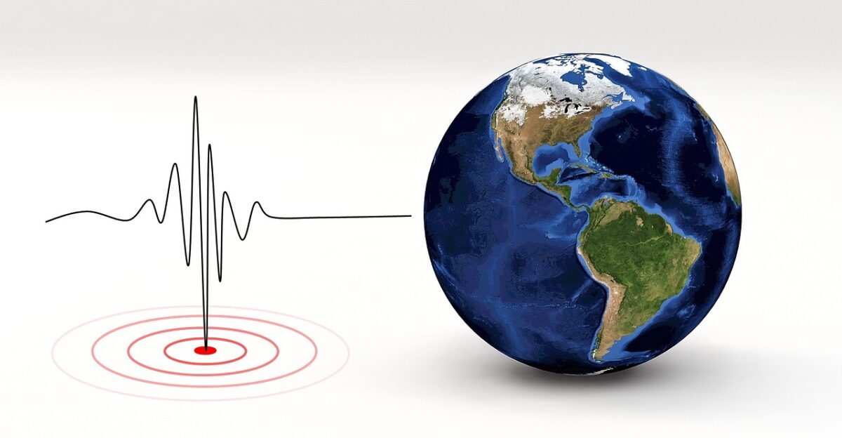
At 11:41 a.m. on Saturday, the ground beneath the remote Alaska-Canada border suddenly convulsed. A magnitude 7.0 earthquake tore through the wilderness northeast of Yakutat, shattering the morning calm with violent shaking that sent residents scrambling for cover.
This wasn’t just a standard tremor; it was a major seismic event that seismologists classify as capable of inflicting serious structural damage, instantly transforming a quiet weekend into a tense statewide emergency response scenario.
Tremors Travel Over 300 Miles To Rattle Anchorage
The energy released was so immense that it refused to stay local. More than 300 miles away in Anchorage, residents paused as floors swayed and light fixtures swung above their heads.
Reports flooded in from across the Yukon Territory and southeastern Alaska, confirming that this wasn’t a localized event but a regional shockwave.
Residents Find Themselves At Ground Zero
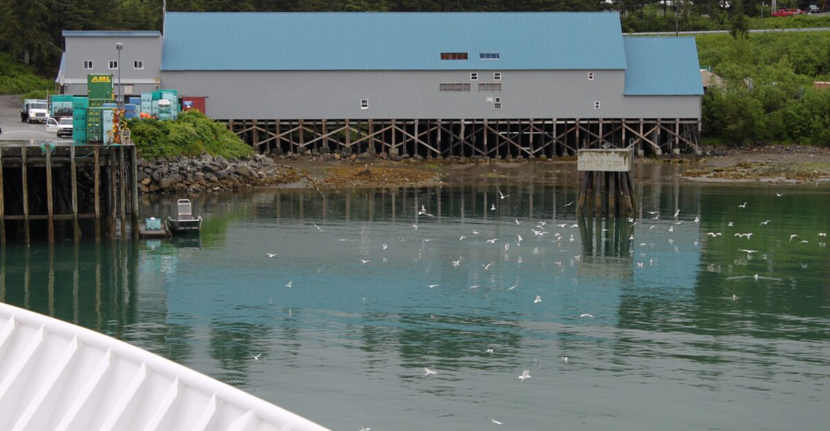
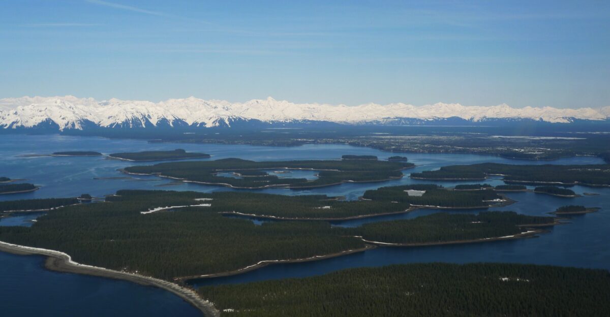
For the 657 people living in Yakutat, the nearest community to the epicenter, the abstraction of a “remote quake” was a terrifying reality. These families, occupying just 332 housing units, found themselves essentially alone atop a violent geological adjustment.
While Police Chief Theo Capes confirmed the shaking lasted several seconds, the isolation of this coastal town meant that for the first few hours, the rest of the world could only guess at their condition.
A “Vigorous” Sequence Erupts Within Forty Minute
Forty minutes after the main shock, the earth refused to settle. Michael West, the state seismologist at the Alaska Earthquake Center, watched the data flood in with growing concern.
“Here we are 40 minutes after the earthquake, it appears to be generating a fairly vigorous aftershock sequence,” West told reporters, noting the unusual intensity of the secondary tremors. His team had already logged more than 20 aftershocks before the first hour was even up.
Why A Magnitude 7.0 Is Exponentially More Dangerous

To understand the fear gripping the region, you must look beyond the magnitude of 7.0. Because the magnitude scale is logarithmic, this earthquake wasn’t just a little stronger than a 6.0—it was 10 times more powerful in terms of ground motion.
More terrifyingly, it released roughly 32 times more energy than a magnitude 6.0 event. This exponential leap in power is the difference between a rattled shelf and a collapsed foundation.
The Immediate Terror Of A Potential Tsunami
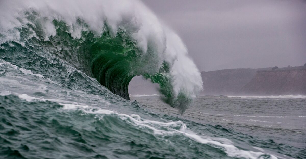
For coastal Alaskans, the shaking is often just the precursor to a darker threat: the ocean. With the epicenter only six miles deep and close to the Gulf, the immediate question wasn’t about cracked drywall, but survival.
Memories of the 1964 megathrust quake, which generated deadly 220-foot waves, always lurk in the collective consciousness here.
Science Delivers A Critical “All Clear” Signal
The tension broke only when the National Tsunami Warning Center issued its definitive assessment. Despite the shallow depth and violent magnitude, their analysis confirmed that a “tsunami is NOT expected”.
The specific mechanics of this fault rupture had spared the coast from water displacement, allowing emergency managers to pivot instantly from evacuation orders to damage assessment.
Seismologist Predicts Hidden Damage In The Wild
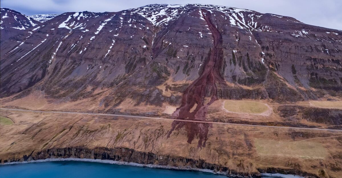
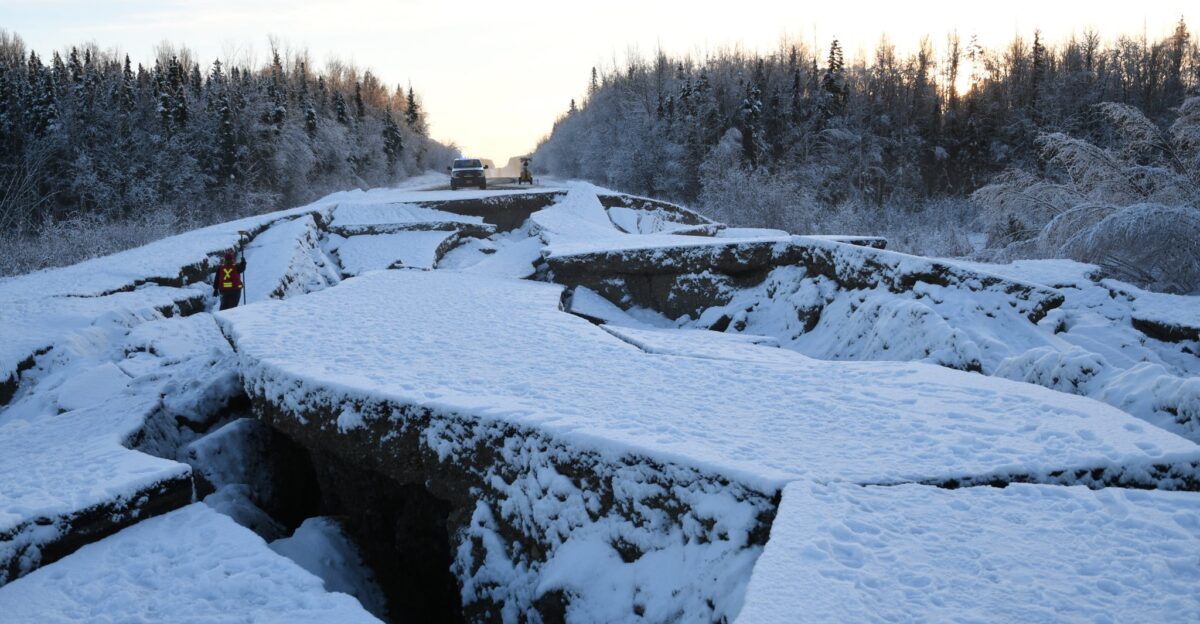
Just because reports were slow didn’t mean the damage wasn’t there. Michael West offered a sobering reality check to the initial relief, warning that “magnitude 7 is certainly enough to cause ground failures”.
He emphasized that while observations were scarce, he “wouldn’t be surprised if we heard about roadways or something that were impacted or landslides”. In Alaska’s wilderness, disaster often happens quietly, miles from the nearest witness or smartphone camera.
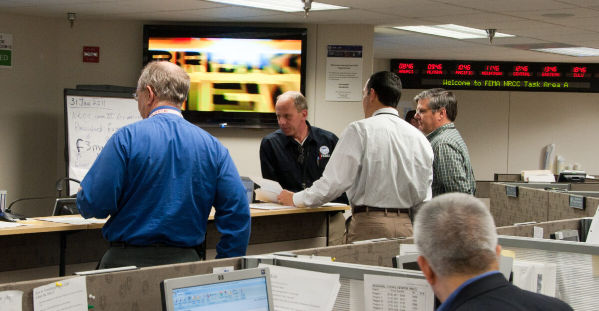
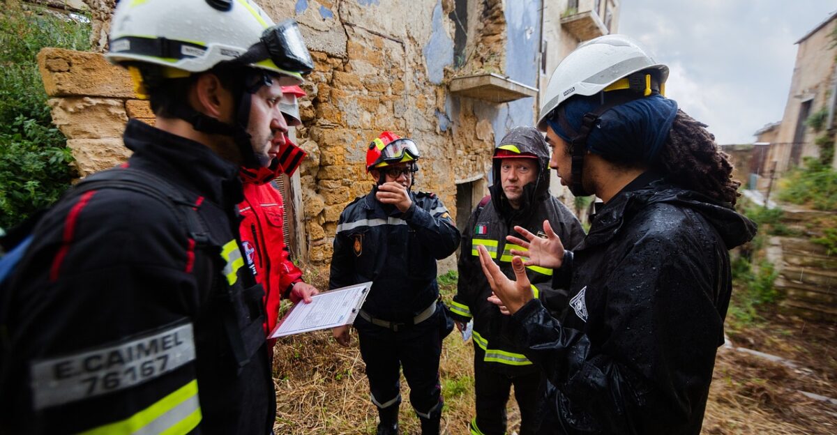
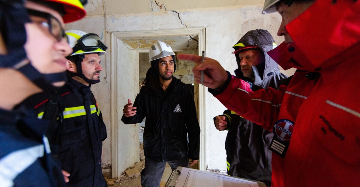
DOT Crews Scramble To Inspect Critical Infrastructure
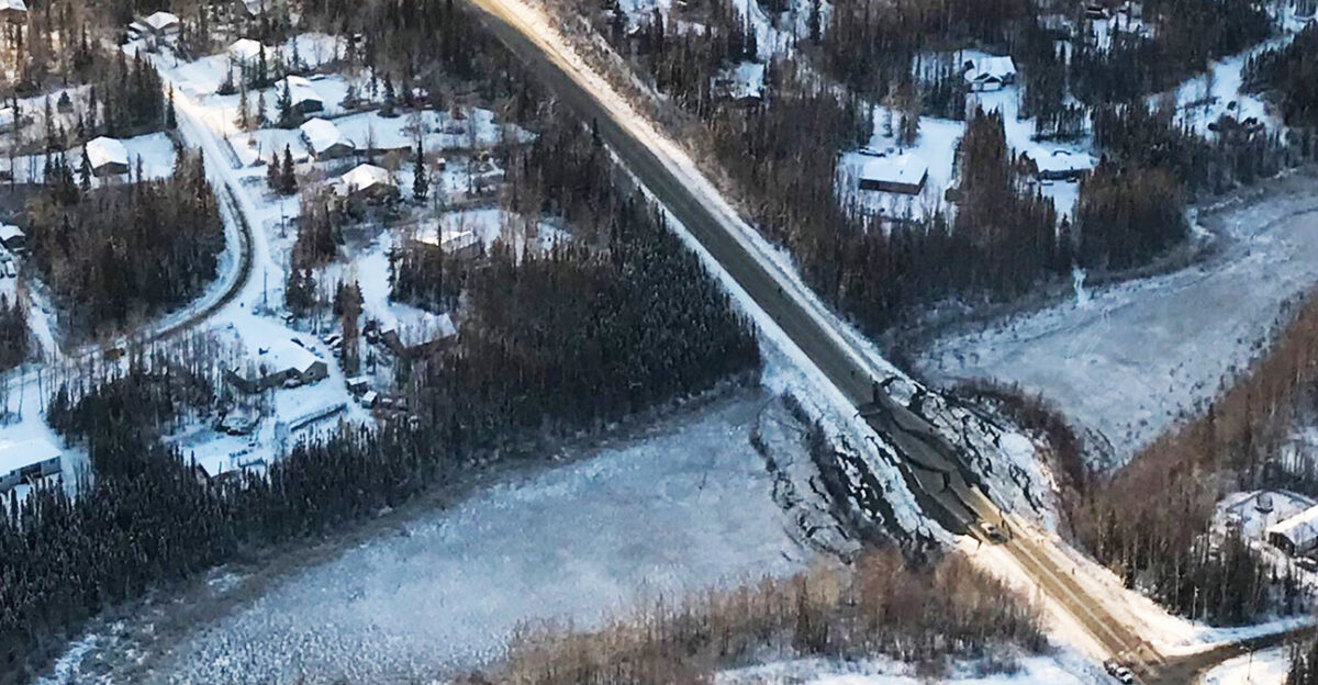
The Alaska Department of Transportation didn’t wait for calls to come in. Crews immediately mobilized to inspect bridges, runways, and highways across the Southcoast region, knowing that invisible structural damage can turn deadly hours later.
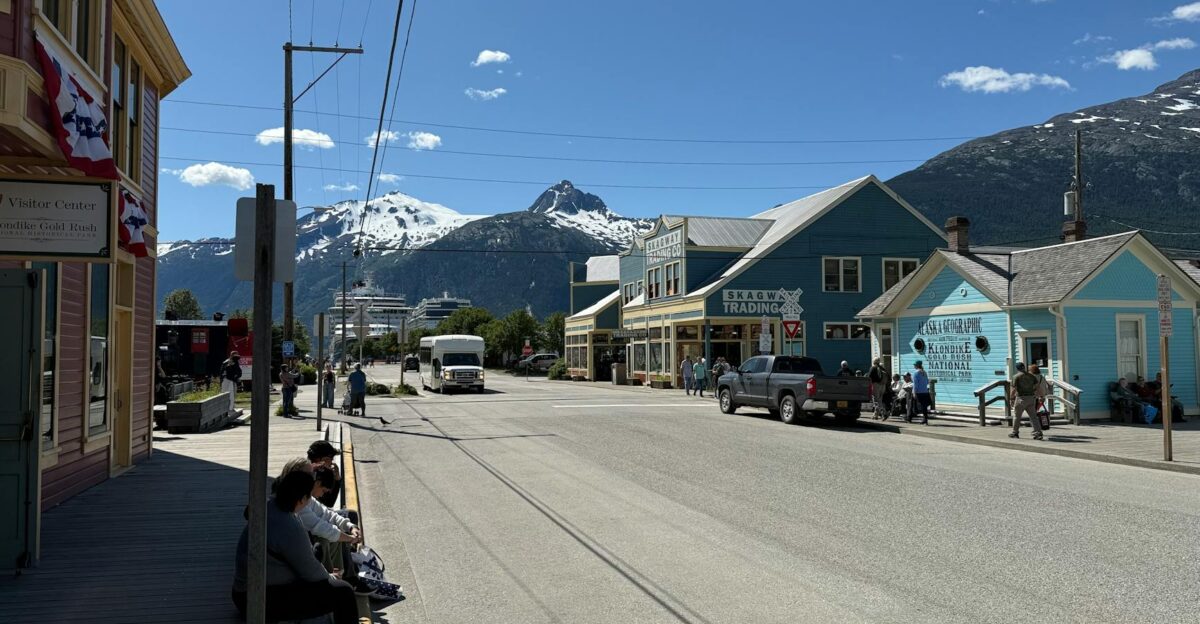
They focused intently on the transport arteries near Yakutat, Haines, and Skagway, searching for the “ground failures” West had warned about.
Over 160 Aftershocks Keep Nerves On Edge
As Saturday turned into Sunday, the seismic drumbeat continued relentlessly. The Alaska Earthquake Center cataloged a staggering 180 aftershocks above magnitude 3.0 within the first 24 hours. Residents couldn’t truly relax, as the floor kept jumping beneath them; several of these aftershocks exceeded magnitude 5.0—significant earthquakes in their own right.
It was a psychological siege, with each new tremor resetting the clock on the community’s return to normalcy.
One Of The World’s Rare Major Earthquakes

It is easy to forget how unusual a 7.0 event actually is. According to NASA’s Earth Observatory, our planet only produces about 18 earthquakes of this magnitude in an entire year. Alaska had just absorbed one of the world’s few annual “major” seismic events, a geological distinction that carries the potential for catastrophic damage.
This wasn’t routine settling; it was a release of planetary tension that had been building for decades.
The Tectonic Collision Under The Ice
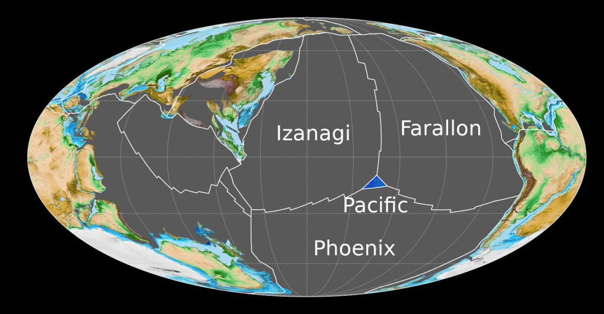
The violence originated in a complex tangle of geology where the Fairweather and Denali fault systems intersect near massive glacial fields. This is the Yakutat collision zone, a chaotic geological junction where the Pacific Plate stops sliding past North America and starts smashing directly into it.
It is a place where continents collide, and the 7.0 magnitude shock was the sound of the North American plate losing ground to the relentless pressure of the Pacific Plate.
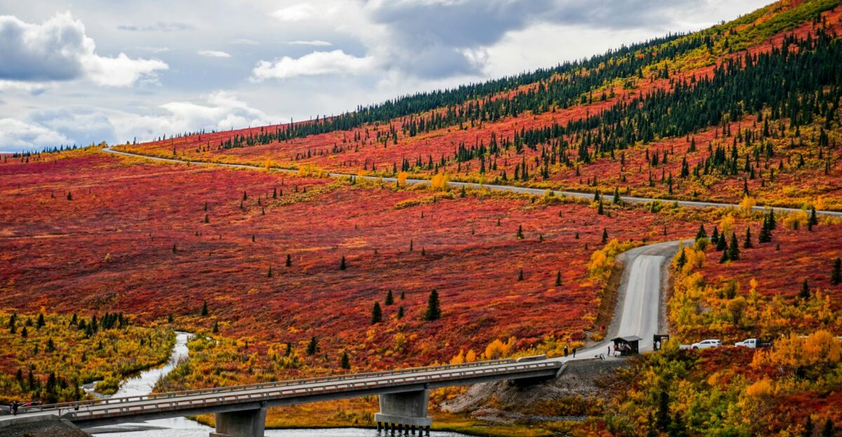
Remote Isolation Is Both a Blessing And a Curse
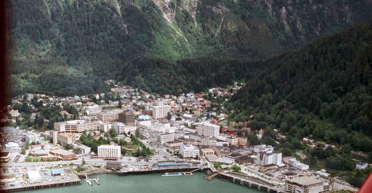
The epicenter’s location in the wilderness was a stroke of luck that likely saved hundreds of lives. Had this magnitude 7.0 quake struck directly beneath Anchorage or Juneau, the conversation today would be about casualties, not just geology.
This remoteness acts as a veil, hiding the true extent of landslides and infrastructure damage in areas that human eyes may not see for days. The wilderness absorbs the violence, but it also hides the scars.
Ghosts Of The Denali Fault Awaken
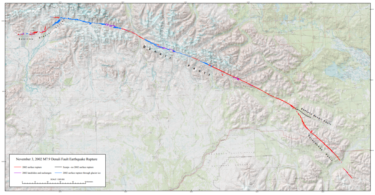
For longtime Alaskans, Saturday’s shaking felt eerily familiar. The event occurred on the same broader fault system responsible for the massive magnitude 7.9 Denali earthquake in 2002, the largest interior quake in modern U.S. history.
That monster event tore the earth open for nearly 200 miles. This new 7.0 shock serves as a violent reminder that the Denali system remains active, dangerous, and capable of waking up at any moment to reshape the landscape.
A “Very Small Chance” Of Something Worse
While West noted that aftershocks are normal, he cautioned that there is always a “very small chance” that a 7.0 quake is actually a foreshock to an even larger event. It’s the seismologist’s version of a lottery ticket nobody wants to hold.
Residents are now living in that statistical shadow, hoping this sequence follows the standard decay pattern rather than escalating into a catastrophe.
Economic Shockwaves Ripple Through Rural Alaska
Beyond the shaking, the economic tremors of such an event can be devastating for remote communities. Supply chains in rural Alaska are fragile, often depending on a single runway or barge landing.
If the “ground failures” West predicted have compromised these lifelines, the cost of groceries and fuel in Yakutat could spike instantly.
Life Goes On Despite The “Ring Of Fire”
This event underscores the bargain every Alaskan makes with the planet. The state sits squarely on the Pacific Ring of Fire, home to 90 percent of the world’s earthquakes. While outsiders see a disaster zone, locals see home.
The quick check of the foundation, a glance at the tide tables, and a return to daily life form a unique cultural rhythm. It is resilience born of necessity, practiced 18 times a year on a global scale.
Building Codes Are The Unsung Heroes
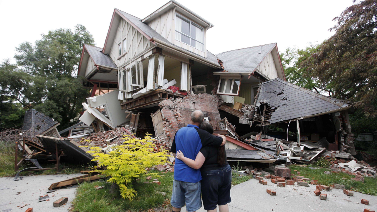
If no homes collapsed in Yakutat, credit doesn’t belong to luck—it belongs to engineering. Since the devastation of 1964, Alaska has adopted some of the world’s strictest seismic building codes. Every beam and bolt in those 332 housing units was likely tested on Saturday morning, and if they held, it is proof that preparation pays off.
The lack of immediate wreckage reports is a silent testament to decades of expensive, unglamorous prevention work.
The Aftershocks Will Fade, But The Risk Remains
West’s forecast is clear: the aftershocks will “remain quite numerous” for days and potentially weeks. The earth will continue to twitch as it finds its new equilibrium. For the families in Yakutat and the engineers inspecting bridges, the immediate crisis may be stabilizing, but the event isn’t over.
They remain in a heightened state of alert, listening to the ground and waiting for the silence to return to the wilderness.
Waiting For The Full Picture To Emerge
As the dust settles, the true story of this earthquake is still being written by inspection crews and satellite imagery. We know the magnitude, and we know the location, but the “ground failures” and landslides Michael West warned of remain largely undocumented.
Until every road is driven and every bridge is checked, Alaska remains in a state of suspended discovery—grateful for the survival, but respectful of the immense power that just moved beneath its feet.