For 15 years, Yellowstone’s ground has been shaking far more than anyone realized. A new analysis of seismic records reveals tens of thousands of tiny earthquakes that escaped human notice, painting a far busier picture beneath the famous national park.
These faint tremors were too small and numerous for traditional methods, raising an obvious question: what exactly has been happening under Yellowstone all this time?
Quiet Boom
When researchers applied artificial intelligence to Yellowstone’s seismic data, they found earthquake activity had effectively undergone a hidden boom.
The machine learning system identified over ten times more quakes than were originally cataloged by conventional techniques.
This quiet surge in detected activity challenges long-held assumptions about how often the ground moves beneath the supervolcano. If so much shaking went unnoticed for years, what else might careful new tools reveal?
Yellowstone’s Underworld
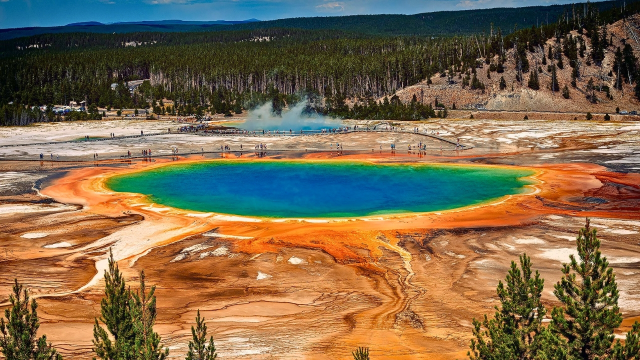
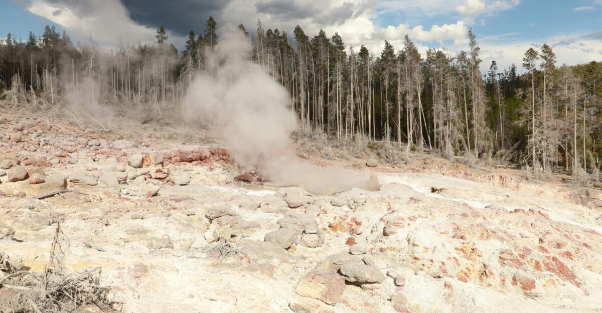
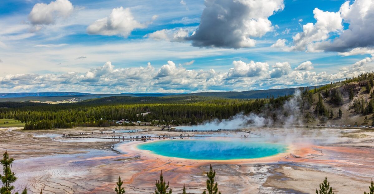
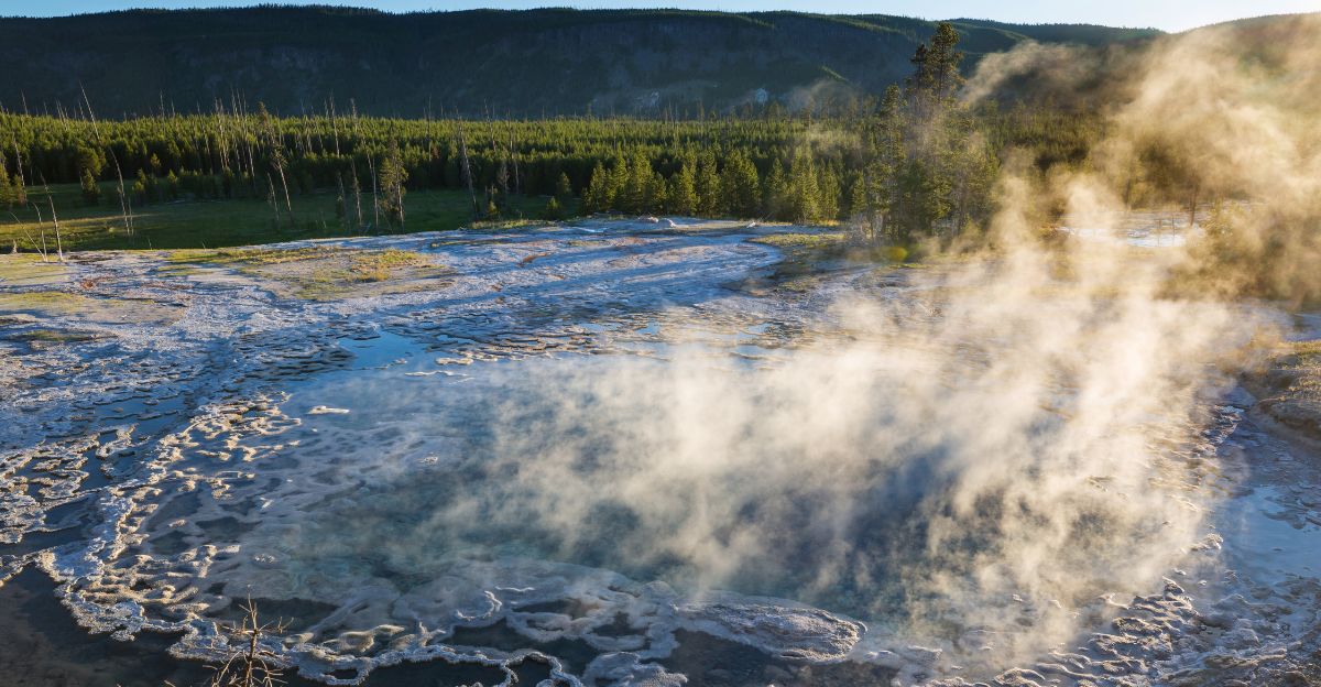
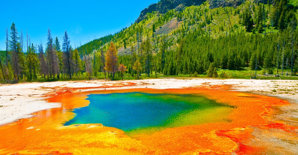
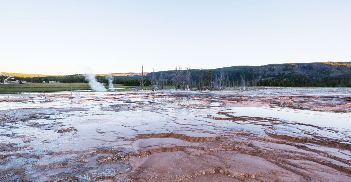
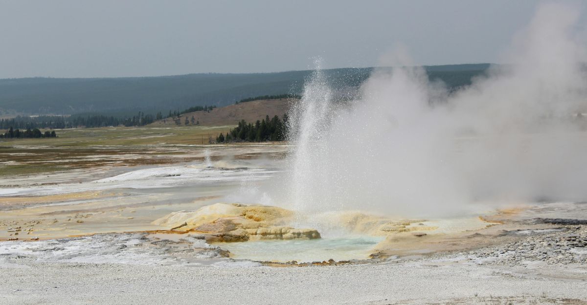
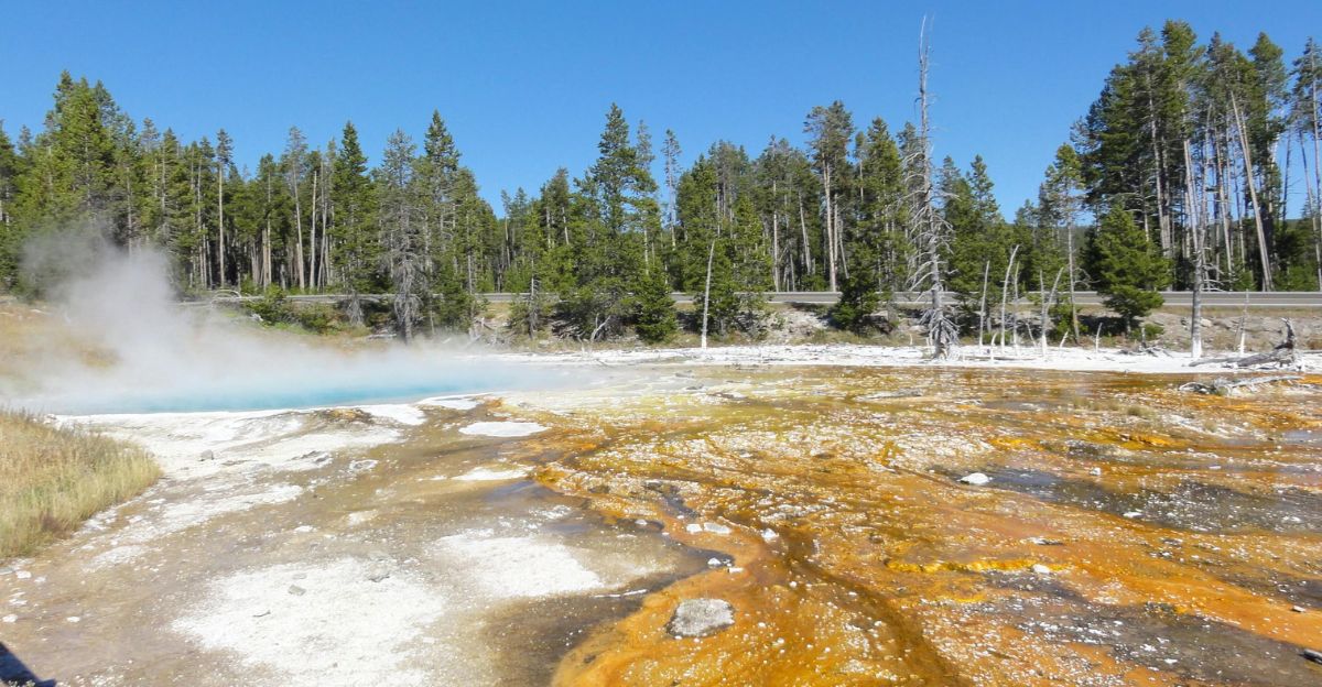
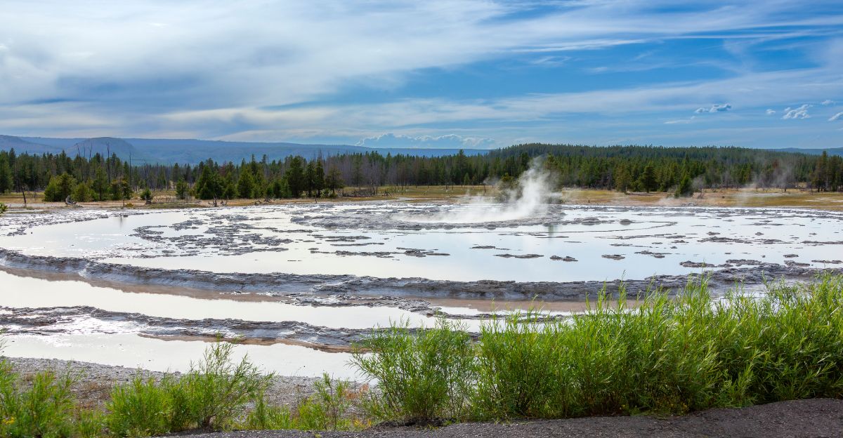
Yellowstone is best known for geysers, hot springs, and spectacular scenery, but beneath the park lies one of Earth’s largest volcanic systems. Geologists classify it as a supervolcano because past eruptions produced continent-spanning ash deposits.
For decades, the U.S. Geological Survey’s Yellowstone Volcano Observatory has monitored earthquakes, ground deformation, and gas emissions in the area. Earthquakes are a key window into this underworld, revealing how heat and fluids move through the crust below.
Why Quakes Matter
Earthquake swarms at Yellowstone are not new, but their details were blurry. Traditional detection methods struggled with overlapping signals and tiny events, especially during busy swarm episodes.
Yet, these small quakes can map fractures, fluid pathways, and changes in stress within the crust. Better catalogs mean clearer insight into which shaking is routine and which might be unusual. Before the AI work, scientists suspected they were missing many events—but not how many.
The 86,276 Reveal
The “aha” moment occurred when scientists utilized deep learning to re-examine 15 years of continuous seismic recordings from Yellowstone, spanning from 2008 to 2022.
The algorithm generated a new earthquake catalog comprising precisely 86,276 events, approximately ten times more than previously documented.
Many were too small for older detection routines, but together they form the most detailed seismic map ever made for the caldera region. That exact figure anchors a significant shift in understanding.
A Busy Underground Heartbeat
The expanded catalog reveals Yellowstone’s crust pulsing with activity, particularly in swarms where numerous small quakes cluster over days or weeks.
More than half of the 86,276 detected earthquakes occurred in such swarms, arranged in repeating patterns, researchers compare to a “heartbeat.”
These sequences concentrate in known hydrothermal and volcanic zones, offering a fine-grained view of how the system regularly vents heat and pressure without major eruptions. That rhythmic shaking underpins today’s risk assessments.
Tiny Quakes, Human Stakes
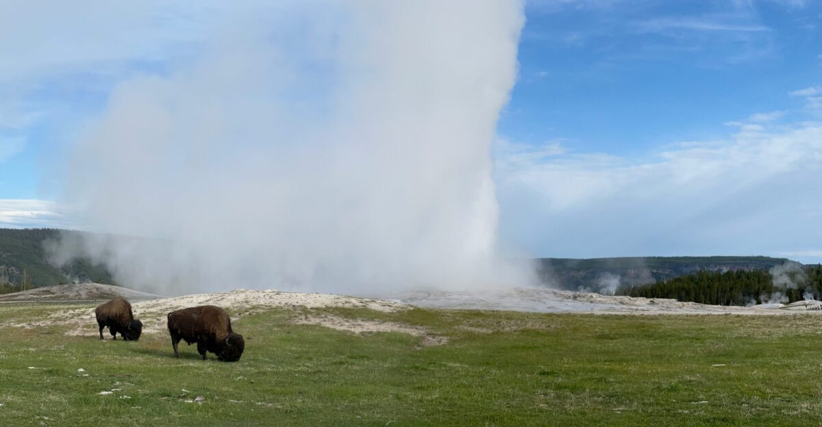
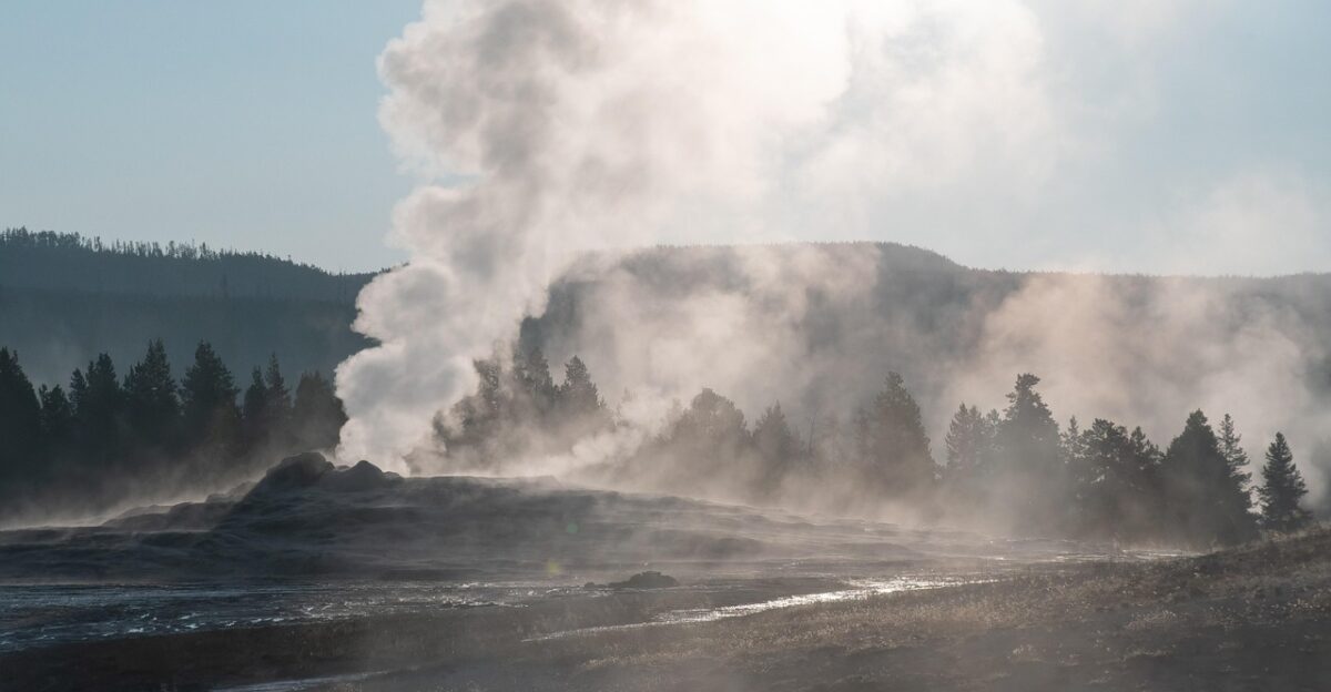
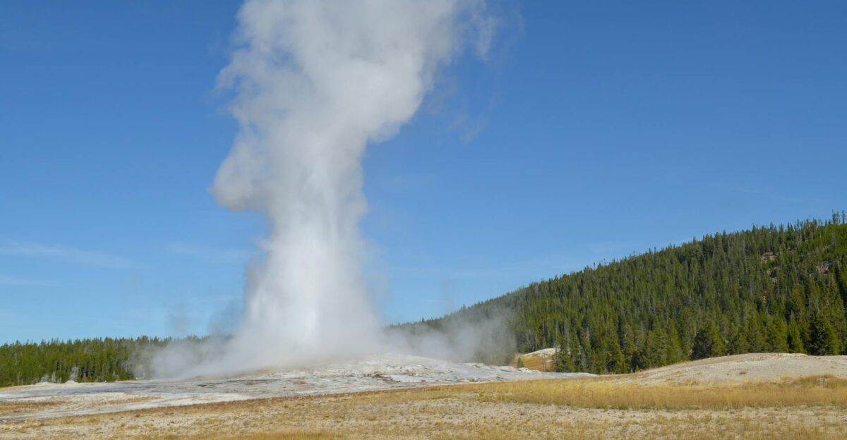
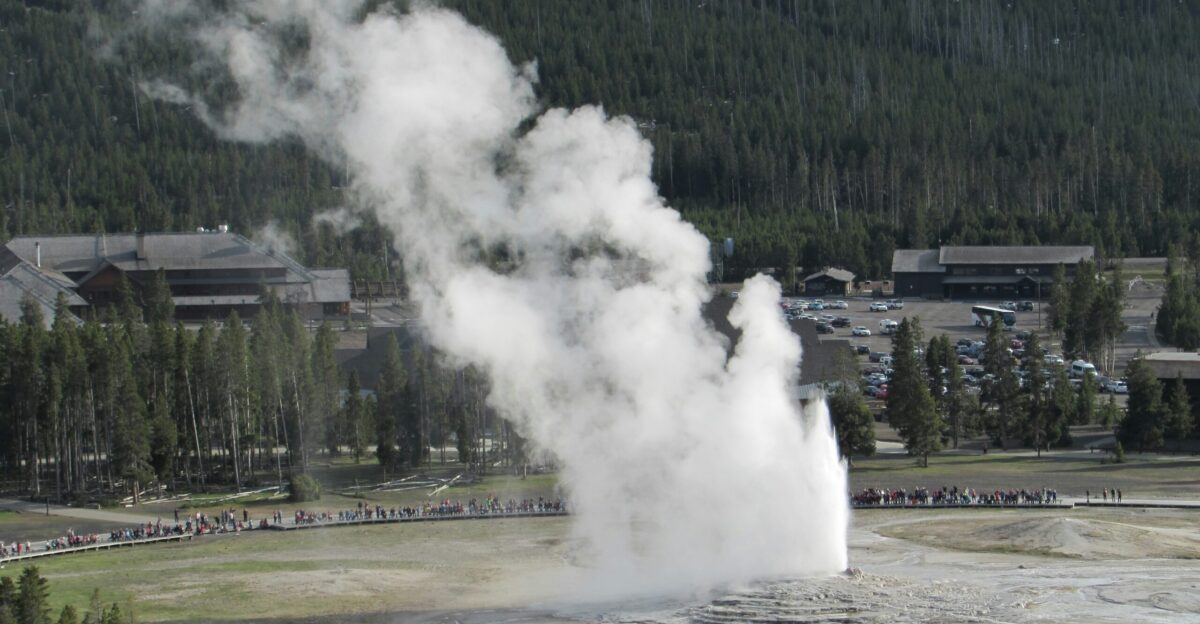
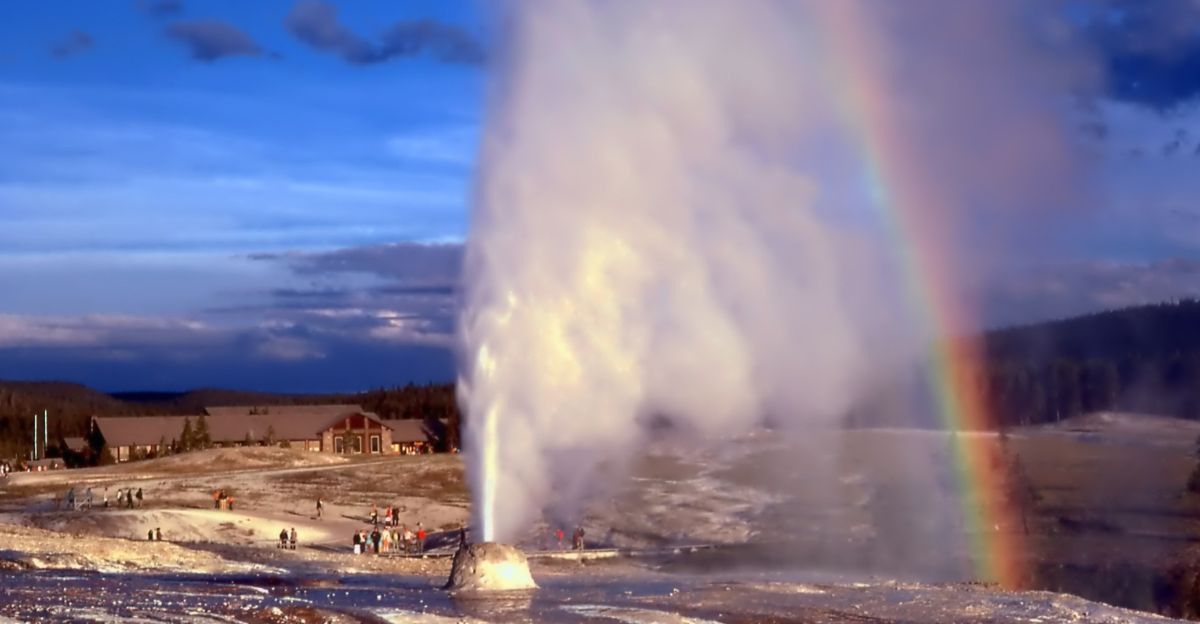
Most of these newly detected earthquakes are so small that people in the park never felt them. Visitors still experience Yellowstone mainly through geysers and wildlife, rather than the jolting ground.
Yet the patterns matter for communities across Wyoming, Montana, and Idaho that live atop or near this active volcanic region.
Detailed quake maps help emergency planners understand which areas repeatedly host swarms, and where infrastructure might be more exposed in future episodes of heightened shaking.
Beyond Yellowstone: New Tools
The same AI approach used at Yellowstone can be applied anywhere with long-term seismic data. Researchers note that California’s San Andreas fault, one of the world’s most closely watched earthquake zones, could be an immediate beneficiary.
Better detection of tiny quakes there might refine models of where stress is building and how faults interact.
By extension, other volcanic regions could benefit from higher-resolution catalogs, thereby improving local hazard planning far beyond a single national park.
What the Data Really Show
The new catalog doesn’t just add more dots to a map; it clarifies Yellowstone’s behavior. Analyses indicate the vast majority of earthquakes are driven by hydrothermal fluids—steam and hot water—forcing their way through brittle rock.
Studies describe these events as typical of an active geothermal system, not as signs of magma rising toward the surface.
Ground deformation and gas measurements similarly point to stable, background conditions rather than escalating unrest.
The Fear vs. Facts Gap
Despite the reassuring scientific picture, some media headlines highlight Yellowstone’s “hidden quakes” in a way that suggests a looming eruption.
Stories speak of “sparking new fears” or the supervolcano “waking up,” framing the AI discovery as a warning sign.
Volcano observatories push back, stressing there is “no indication of an impending eruption” and activity remains normal. Detection technology changed dramatically—but the underlying volcanic risk has not.
Public Anxiety and Reassurance
Yellowstone’s supervolcano status inevitably fuels public concern when new data appear. Some readers interpret the 86,276 earthquakes as a sign that the system is becoming more dangerous.
Scientists repeatedly emphasize that the increased detection of quakes mainly reflects improved tools, not a surge in underground energy.
They emphasize how the new heartbeat-like patterns actually help distinguish normal behavior from potential trouble, offering more, not less, confidence in day-to-day monitoring. Still, questions from anxious residents persist.
Who’s Watching the Volcano
Responsibility for tracking Yellowstone’s activity rests with the Yellowstone Volcano Observatory, a partnership led by USGS alongside universities and state agencies.
Teams continuously analyze earthquakes, ground motion, and gas emissions, issuing regular updates. The observatory maintains an alert level of “Normal” and an aviation color code of “Green,” indicating normal background conditions.
This institutional framework ensures that new tools, such as AI catalogs, feed directly into official assessments, rather than circulating only through headlines.
Building Better Early Warnings
Researchers view the Yellowstone AI project as a template for future early warning improvements. A dense, long-term seismic catalog allows scientists to test how swarms evolve, how quickly they accelerate, and which patterns, if any, precede larger events.
Similar methods on plate-boundary faults could refine earthquake probability estimates. At Yellowstone, the immediate payoff is clearer baselines; any future deviation from this detailed norm would stand out far more sharply than before.
Experts Temper the Hype
Volcanologists and seismologists consistently caution against reading the AI findings as evidence of a brewing catastrophe.
Interviews underline that Yellowstone lacks the necessary magma volume and conditions for a large eruption in the foreseeable future, based on current imaging and geophysical data.
They frame the discovery as a technological milestone that improves scientific oversight. In other words, the supervolcano is being watched more closely—not waking from slumber.
What Comes Next?
Looking ahead, the key question is how these AI-powered insights will change preparedness for Yellowstone and other high-risk regions.
Will richer catalogs help authorities fine-tune evacuation plans, or reshape how the public interprets earthquake swarms and ominous-sounding headlines?
As machine learning combs through more seismic archives worldwide, the tension between fear and fact may intensify—making clear, transparent communication just as important as cutting-edge science.
Sources:
Science Advances, July 2025
Western University News, July 2025
ScienceDaily, July 2025
SciTechDaily, July 2025
U.S. Geological Survey (USGS) Volcano Hazards Program, 2025
Yellowstone Volcano Observatory, 2025
Yellowstone Volcano Observatory FAQ, July 2025
Yellowstone Volcano Updates, November 2025