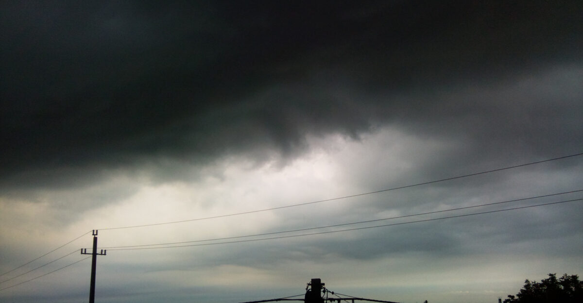
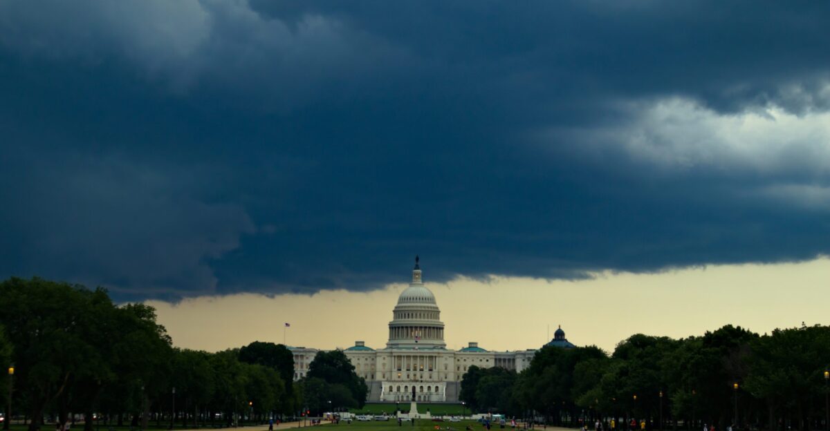
The Pacific Northwest is already seeing a flood of trouble. Dark storm clouds churn above rivers swollen by relentless rain as forecasters warn of more to come. With the arrival of multiple atmospheric rivers, fears are rising that rivers may spill over their banks and flood vulnerable communities.
The pressure is mounting, and this storm sequence is set to wreak havoc on western Washington and Oregon over the next week.
Stakes Rising
Washington and Oregon face the heaviest threat, with western lowlands and Cascade slopes at risk. The rain won’t be brief—multiple storm systems will repeatedly target the same areas. This doesn’t just mean one burst of rain but several, with little time for the rivers to recover in between.
The result? Larger, more devastating floods are becoming a very real possibility.
Storm Pattern
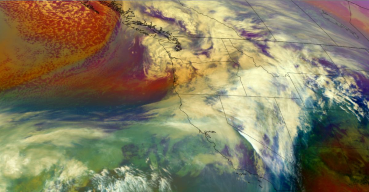
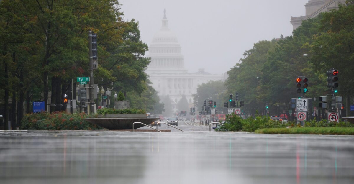
Atmospheric rivers aren’t a new phenomenon for the region, but this sequence has forecasters on high alert. These narrow bands of intense moisture routinely unleash heavy rain, sometimes causing widespread flooding and landslides.
The Pacific moisture slamming into the coast over the next week is expected to be especially heavy, triggering concerns of rapid, extreme flooding.
Pressure Builds
The first storms will prime the region, soaking the soil and swelling streams before the heaviest rains arrive. Several days of near-continuous rain will follow, putting the region on edge. Even moderate rainfall could trigger rapid river rises, overwhelming drainage systems and leading to severe flooding across western Washington and Oregon.
The landscape is ill-prepared for this much water, with already saturated ground and overflowing streams raising the stakes.
Core Warning

A triple threat of atmospheric rivers is now forecast. The first storm will hit on December 3, followed by a second surge on December 5, and a third, more powerful event on December 8. Forecasters predict a total of 5 to 10+ inches of rain, especially across the Washington Cascades,
The third storm is expected to be the most intense, with additional moisture compounding the effects of the earlier systems.
Regional Impact
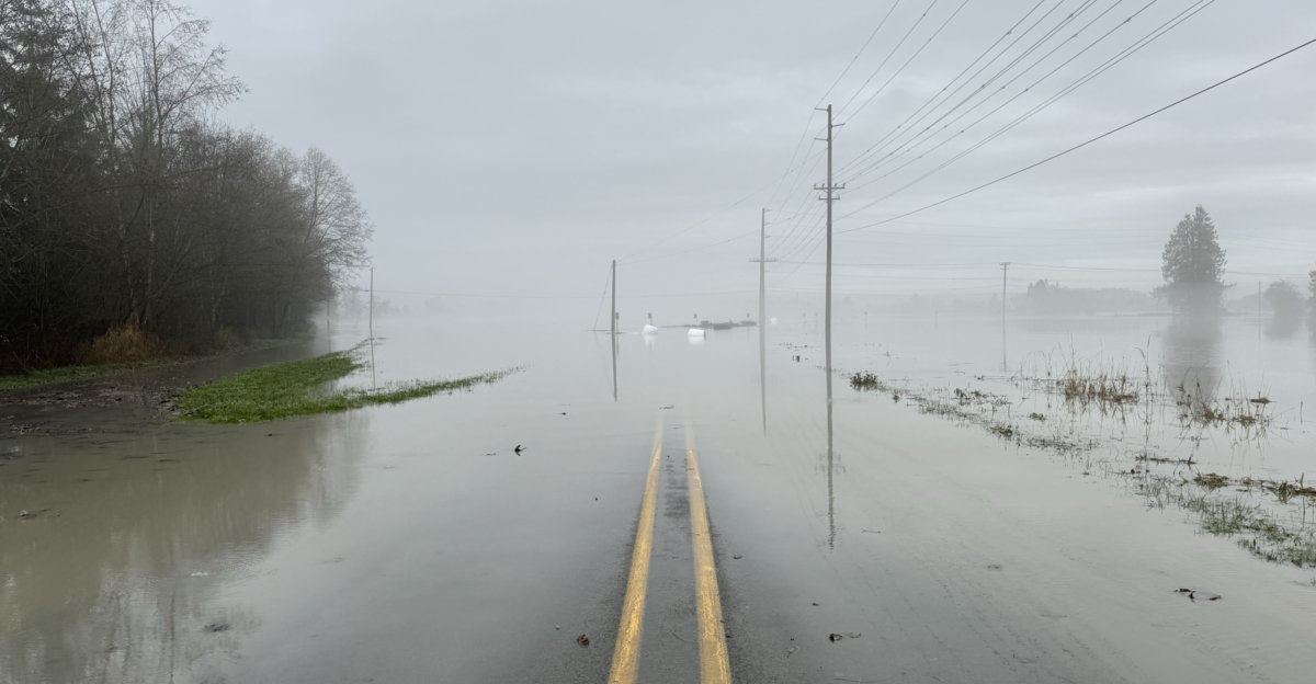
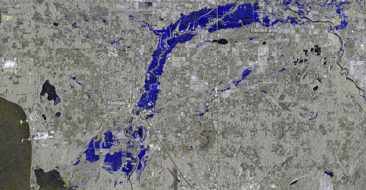
River levels in western Washington and Oregon are already strained. Forecasts indicate significant rises and potential flooding in the Cascades, where mountain catchments will feed the rivers below. Major river basins are expected to swell as more rain falls, triggering evacuations, road closures, and further danger to communities downstream.
Local officials are gearing up for widespread disruptions, with many vulnerable areas facing the possibility of significant flooding.
Human Lens
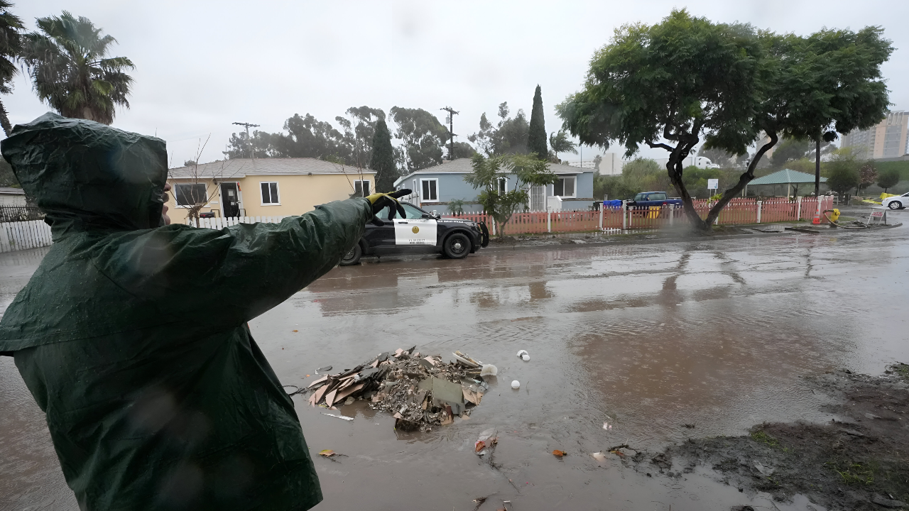
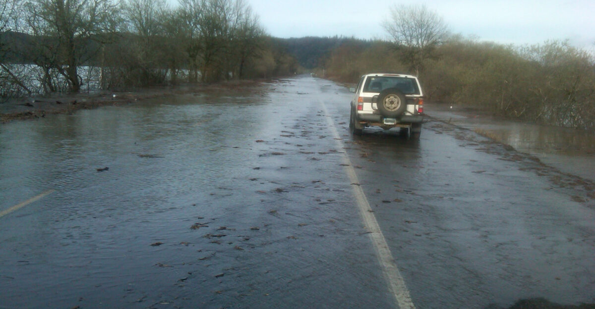
Communities in flood-prone areas of western Washington and Oregon are bracing for impact. With so many people living near vulnerable rivers, emergency services are advising residents to prepare for possible evacuations. They’re also being urged to review evacuation routes, secure essential items, and stay up to date with the latest forecasts.
Preparedness measures are key, with local governments emphasizing the importance of acting early to avoid panicking when the waters rise.
Forecast Details
The first atmospheric river will bring heavy rain, with 2 to 4 inches expected in the Cascades within a 72-hour period. The second system is shorter but will still add up to an inch of rain in the lowlands. The third, most powerful storm could dump more than 5 inches in just three days, further increasing flood risks.
Each system contributes to the overall risk, with their combined effect expected to create significant challenges for the region’s infrastructure and residents.
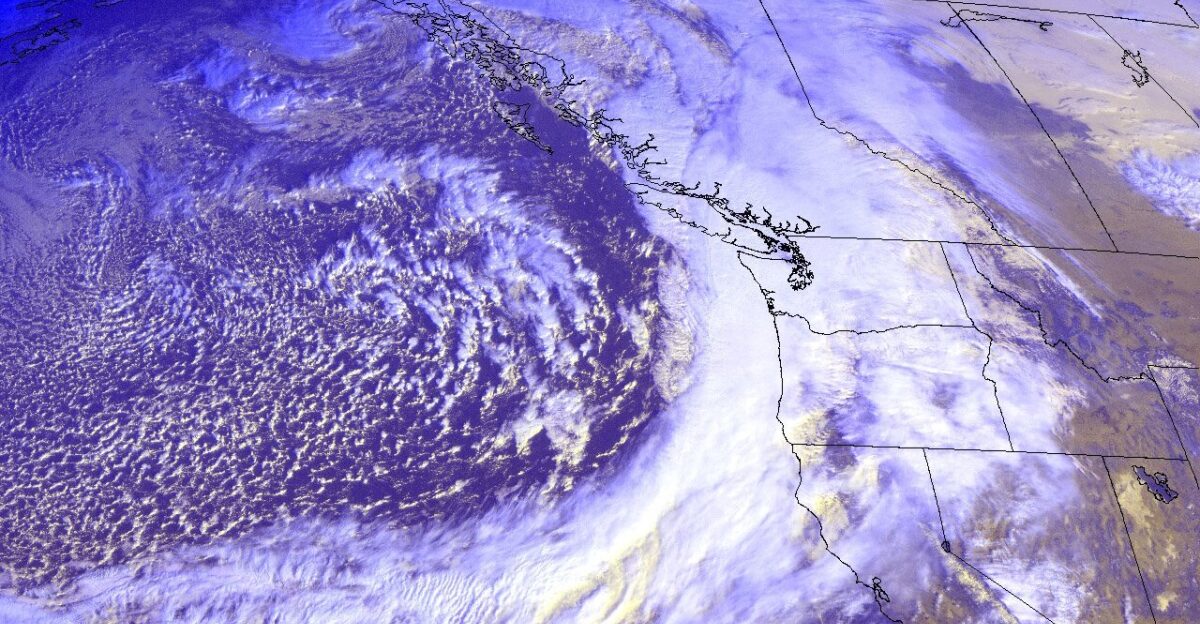
Moisture Engine
The third storm will be the strongest, carrying an extremely high amount of moisture. Experts expect Integrated Vapor Transport (IVT) values to exceed 1,000 kilograms per meter per second—an indicator of a severe storm.
This moisture-heavy event will bring heavy rain to already saturated ground, heightening the risk of flooding. Forecasters are especially concerned about the intense, concentrated nature of this storm.
Hidden Costs

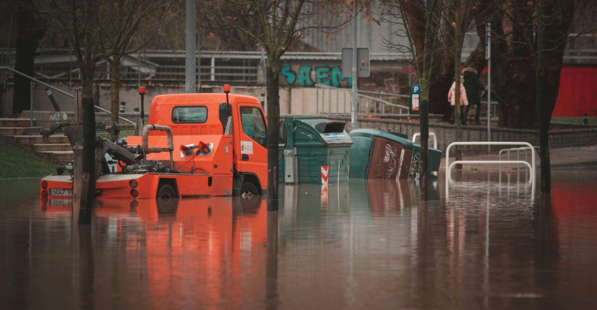
Beyond the immediate flooding, consecutive storms also bring secondary risks. Soaked hillsides are prone to landslides, which can block highways and disrupt communities. Urban areas may also face overwhelmed storm drains, while power outages from falling trees and eroded banks will exacerbate the situation.
These ripple effects will continue long after the rain stops falling, making recovery efforts more complicated and prolonged.
Local Strain
This storm sequence will put pressure on critical infrastructure, from levees to stormwater systems. Continuous wet conditions test their limits, leaving little time for repairs between storms. Local authorities are closely monitoring the situation and preparing for a rapid response as the storms unfold.
With each atmospheric river adding to the strain, agencies are coordinating efforts to mitigate the damage and protect vulnerable infrastructure.
Leadership Moves

As the storms approach, local leaders are stepping up coordination through emergency operations centers. Agencies are staging high-water vehicles, preparing shelters, and aligning messaging to ensure timely evacuations if necessary.
Forecasts from federal centers will shape decisions on flood warnings and emergency resources. The response will be dynamic, adapting as conditions change over the course of the storm sequence.
Preparation Push
Residents in flood-prone areas are being urged to prepare now, rather than wait until it’s too late. Suggested actions include assembling emergency kits, moving valuables to higher ground, and signing up for local alert systems.
These steps can help households better cope with power outages, blocked roads, and unexpected evacuations. The proactive approach can make a significant difference in minimizing damage.
Forecast Uncertainty
Despite strong model agreement, there’s still some uncertainty in the exact placement of the heaviest rain bands. A slight shift in where the moisture plume makes landfall can drastically change the flood risks for specific communities.
Forecasters stress the importance of daily updates as the storms approach, with small shifts in the forecast potentially having a significant impact on flood outcomes.
What Comes Next?
This week of storms is a reminder of the Pacific Northwest’s vulnerability to repeated atmospheric rivers. As populations continue to grow in flood-prone areas, officials will need to rethink flood defenses and emergency preparedness.
How this storm sequence unfolds could help shape future disaster response strategies across the region. Officials and residents alike will be watching closely as the situation continues to develop.
Sources:
Center for Western Weather and Water Extremes (CW3E) – AR Update: 3 December 2025 Outlook
Organization: UC San Diego/NOAA-affiliated research center
Published: December 3, 2025
National Weather Service Seattle Area Forecast Discussion
Organization: NOAA/National Weather Service
Published: December 3, 2025
Emerald City Weather – Atmospheric River Storms Analysis
Organization: Independent Pacific Northwest meteorology source
Published: December 2, 2025
AccuWeather – Pacific Northwest December Storm System Forecast
Organization: AccuWeather Professional Services
Published: December 4, 2025
Yahoo News/National News Consortium – Atmospheric Rivers 10 Days of Rain
Organization: Major news outlet aggregating NWS/CW3E data
Published: December 4, 2025
National Weather Service Hydrologic Outlook / Newsweek Report
Organization: NOAA/NWS with Newsweek verification
Published: December 4, 2025 (released by NWS December 3)