At 2 a.m. on July 8, 2025, seismographs across Washington State began to sing. Not in isolated bursts, but in a relentless hum—10,834 tiny earthquakes hammering through Mount Rainier’s rock over the course of weeks, the most violent seismic tantrum ever recorded at the volcano.
Most people never felt it. But for the 200,000 souls living in the mountain’s shadow—commuters on Interstate 5, families in Orting and Puyallup, workers in sprawling Tacoma suburbs—that geological fury had a name: the clock ticking.
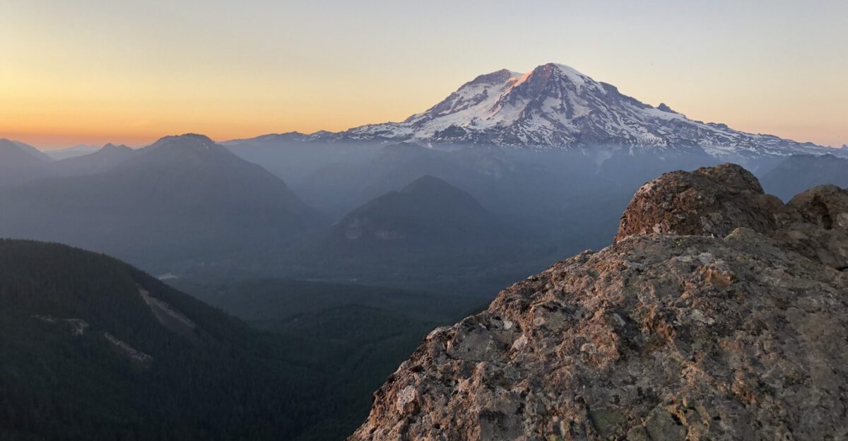
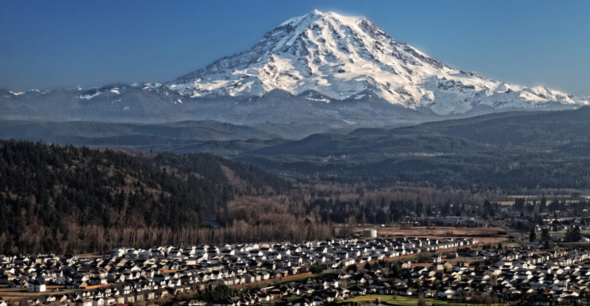
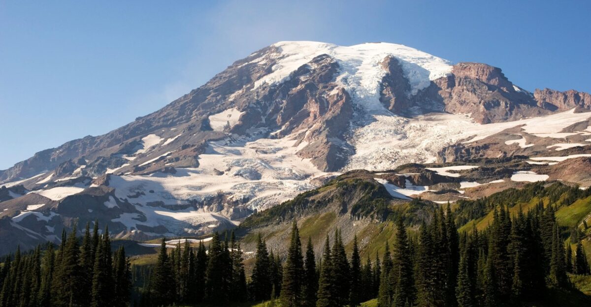
A Volcano 50 Miles from a City of Millions
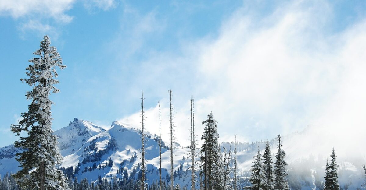
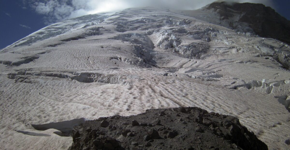
Mount Rainier is not some remote backcountry hazard. It towers 14,410 feet above the Seattle-Tacoma corridor, a snow-capped giant that millions pass beneath every day without giving it a second thought. USGS calls it America’s most dangerous volcano, not because it explodes like Vesuvius, but because of what melting glaciers do when lava heats them: they become lahars—apocalyptic rivers of mud, boulders and debris that race downslope at highway speeds.
The mountain holds more glacial ice than all other Cascade volcanoes combined, a frozen arsenal primed to unleash destruction.
When the Mountain Moves, You Have 30 Minutes
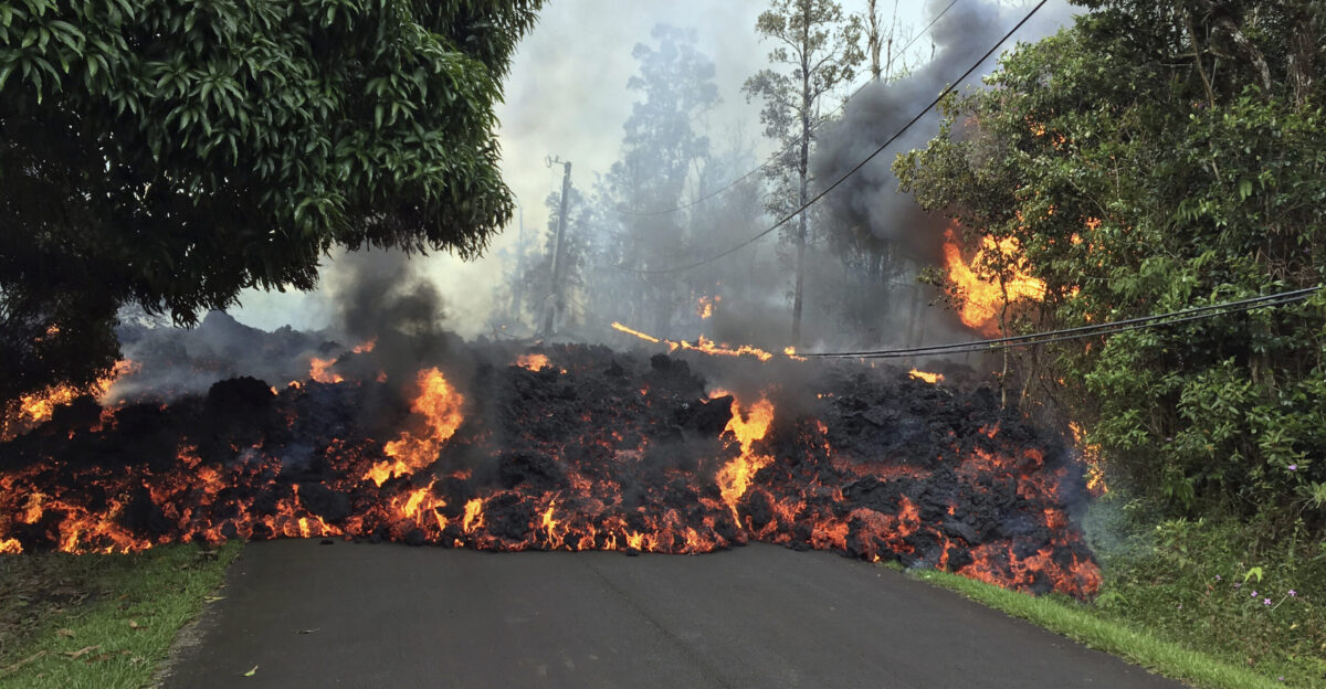
If Rainier erupts, lahars will pour down at least four river valleys simultaneously: the Puyallup, Carbon, Nisqually, and Duwamish. Pierce County estimates roughly 200,000 people live or work in these direct strike zones. In the Puyallup valley, the town of Orting will see a wall of mud arrive in approximately 30 minutes, swallowing everything in tens of feet of debris.
There is no evacuation miracle waiting. There is only speed, preparation, and knowing which way is up.
The Sirens Will Scream. Will You Hear Them in Time?
Lahar-warning systems exist along Rainier’s valleys—sensors, sirens, evacuation protocols honed by decades of planning. But a siren’s wail lasts only minutes, and a lahar moves faster. Families in the hazard zone must have practiced their route, known their assembly point, and understood viscerally that “uphill” means survival.
USGS and county emergency managers spend years drilling communities on one brutal reality: if you wait for official confirmation, you may already be dead.
USGS: The July Swarm Was a Close Call
Despite the record 10,834 earthquakes, USGS kept Mount Rainier at its lowest alert level (GREEN/NORMAL) throughout July 2025.
Scientists located roughly 1,350 earthquakes and concluded that the rest were too small to pinpoint—activity rooted in hydrothermal systems , rather than magma surging toward the surface. No abnormal ground inflation. No suspicious gas spikes. The mountain was restless, but not on the verge of eruption—yet.
Rainier Has Always Been a Ticking Clock
The volcano last erupted around 1480 CE and is currently in an eruptive cycle of approximately 300–400 years on average. Which means Rainier is overdue. Not tomorrow, perhaps not for decades—but the next eruption is not a matter of if, it is a matter of when.
Every swarm, every tremor, every uptick in gas emissions is a reminder to scientists and planners that the giant is restless.
The Mountain is Alive
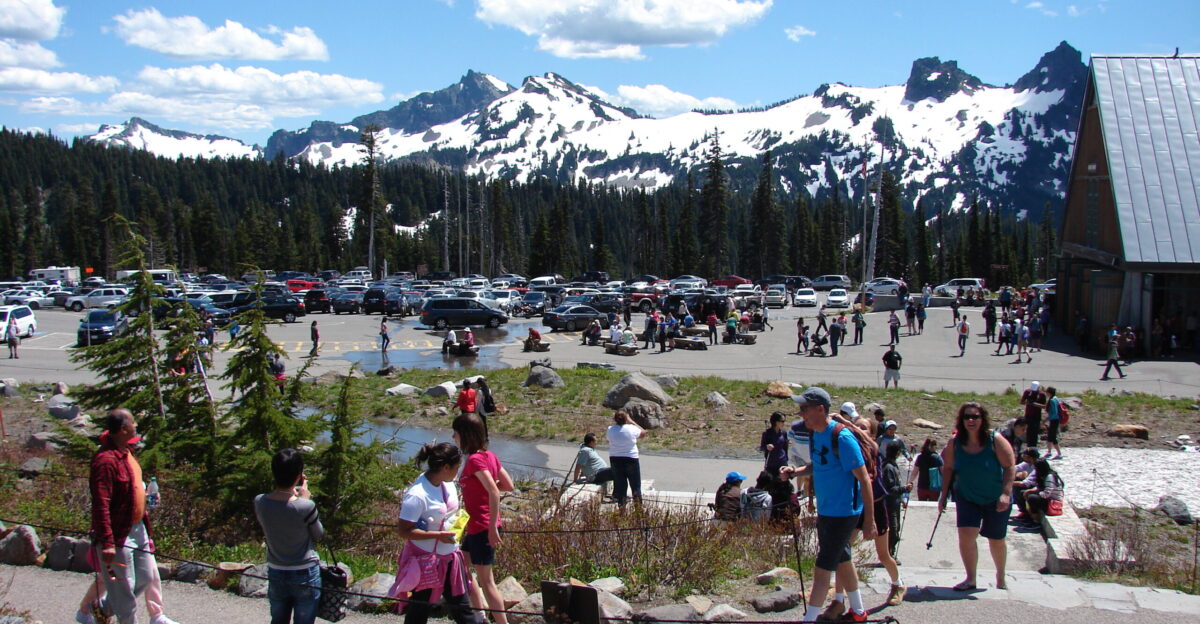
For residents in lahar zones, the July swarm was not abstract geology—it was a visceral reminder that the mountain beneath their towns is alive, shifting, capable of transformation. Some families reinforced evacuation plans—some packed emergency kits.
Some sat with the knowledge that a minor shift in atmospheric pressure, a few degrees of additional magma intrusion, could change everything.
Alert Levels Rise
Rainier’s seismic activity, gas emissions, and ground deformation are monitored in real-time by USGS. The volcano follows a measurable pattern: quakes increase, the ground swells slightly, gas concentrations shift—then, eventually, magma breaks through.
It is not a precise countdown. It is a slow drift toward the inevitable. And when alert levels rise from GREEN to YELLOW or ORANGE, the 200,000 people in lahar zones must be ready to move.
The Town That Knows It Lives on a Razor’s Edge
Orting sits directly in the Puyallup River lahar path, roughly 45 miles downstream from Rainier’s summit. The town has practiced evacuation drills, installed sirens, and mapped routes to higher ground. But residents know the truth: in a real lahar event, the narrow window between siren and surge leaves no margin for error.
Schools, workplaces, and homes have practised the mantra of “uphill and away”—a strategy for survival.
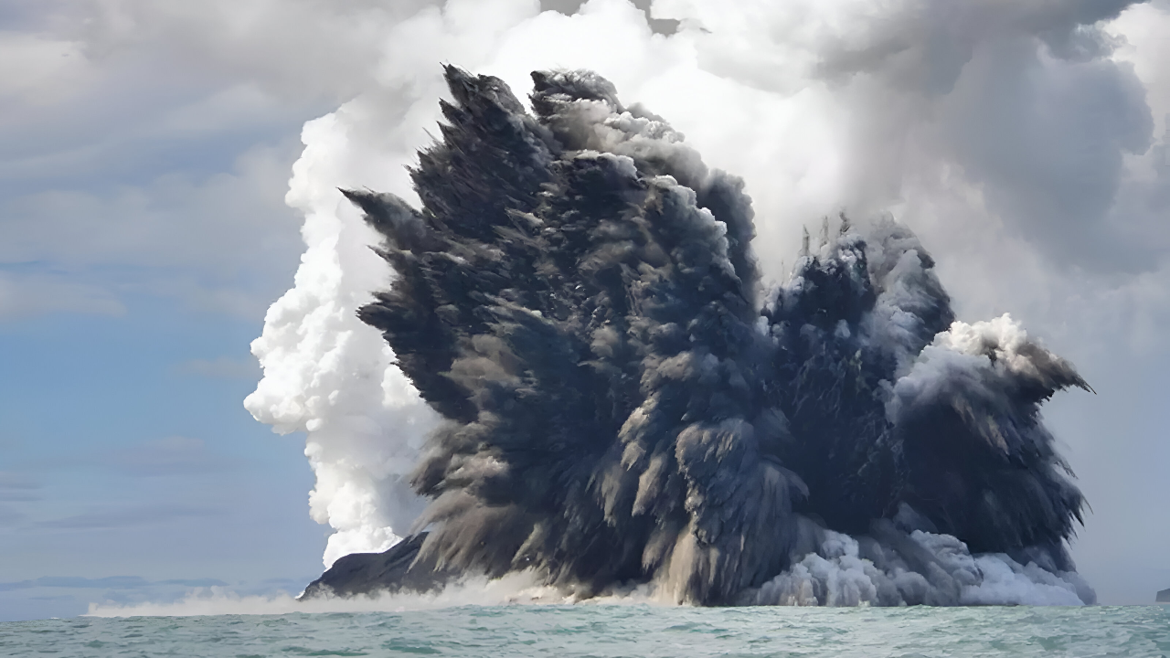
The Underwater Twin That Poses No Threat
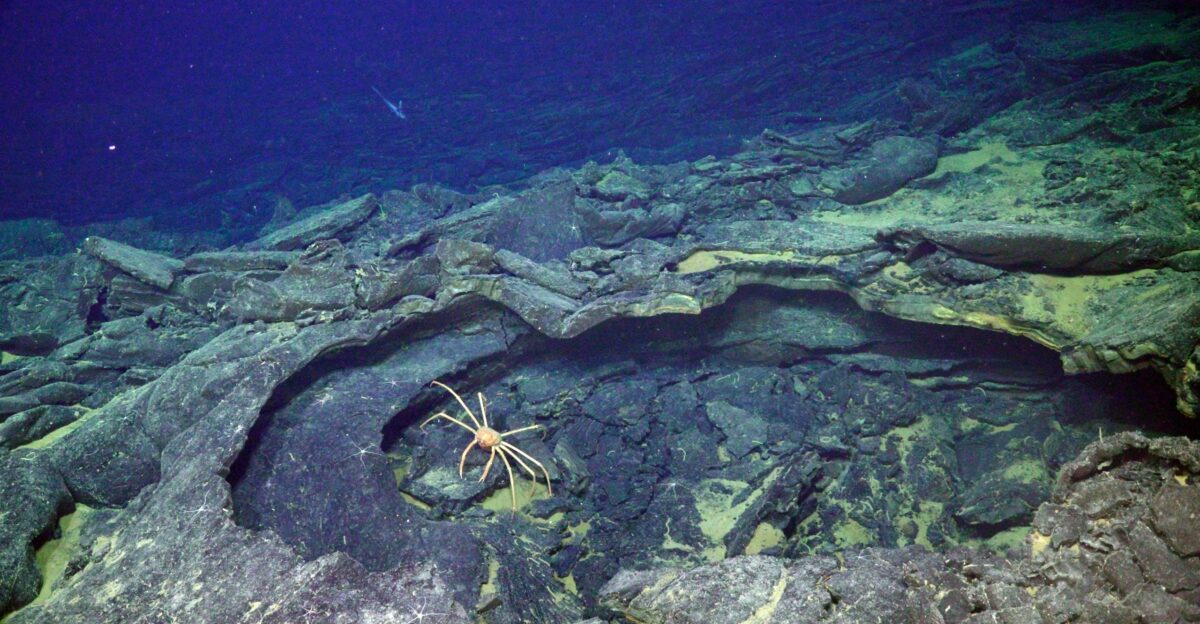
Three hundred miles offshore and nearly a mile beneath the Pacific, Axial Seamount recorded 10,000 tiny earthquakes in a single day as magma churned through the crust. Yet USGS is explicit: Axial “poses no threat to people or ocean travel” because its deep-sea eruptions are gentle flows that reshape the seabed far below shipping lanes.
The contrast cuts to the heart of volcanic danger: Rainier’s 10,834 quakes threaten a city region; Axial’s mirror-image seismic fury is a scientific spectacle with no human cost.
Why One Volcano Haunts Emergency Managers, the Other Doesn’t
Geography is destiny. Rainier sits embedded in one of America’s fastest-growing metropolitan corridors, with tens of thousands living directly downslope of glacier-fed valleys. Axial lies in a wilderness ocean, monitored by robots and cables, valuable for science but not a public emergency.
The difference between “natural wonder” and “natural catastrophe” is not the volcano’s power—it is its proximity to people.
Decades of Vigilance
Experts agree Rainier will erupt again; the only unknown is the timeline. When it does, the 200,000 people in lahar zones have minutes to act—minutes to recognize the alarm, abandon cars and possessions, and climb to high ground. That is not a doomsday prophecy; it is a result of hydrology and physics written into the landscape.
The USGS continues to monitor gas, ground tilt, and seismic signals around the clock. If those indicators shift decisively, alert levels rise.
July’s 10,834 Earthquakes
The record swarm faded. Alert levels remained GREEN. Life resumed. But for those who live beneath Rainier, the rumble never truly stops—it simply waits.
The mountain is not angry; it is patient. It has been thousands of years in the making. Humans have only their preparedness, their knowledge of evacuation routes, and their understanding that when the sirens sound, hesitation is a death sentence.
Sources:
US Geological Survey – Axial Seamount observatory and hazard summaries
NOAA / PMEL – Recent volcanic history and seafloor monitoring data for Axial Seamount
Ocean Observatories Initiative – Cabled Axial Seamount Array live instrumentation and inflation records
US Geological Survey – Mount Rainier volcanic hazards and lahar guidance
Pacific Northwest Seismic Network – Mount Rainier July 2025 earthquake swarm analysis