An unprecedented polar vortex disruption is bearing down on North America, with MIT climatologist Judah Cohen warning that the Northeast could experience “the most extreme cold on Earth” by mid-December. What began as a severe Thanksgiving travel crisis is merely the opening phase of a much larger atmospheric event that will affect approximately 235 million Americans across a geographic span stretching from the Mountain West through the densely populated Interstate 95 corridor.
The Thanksgiving Prelude
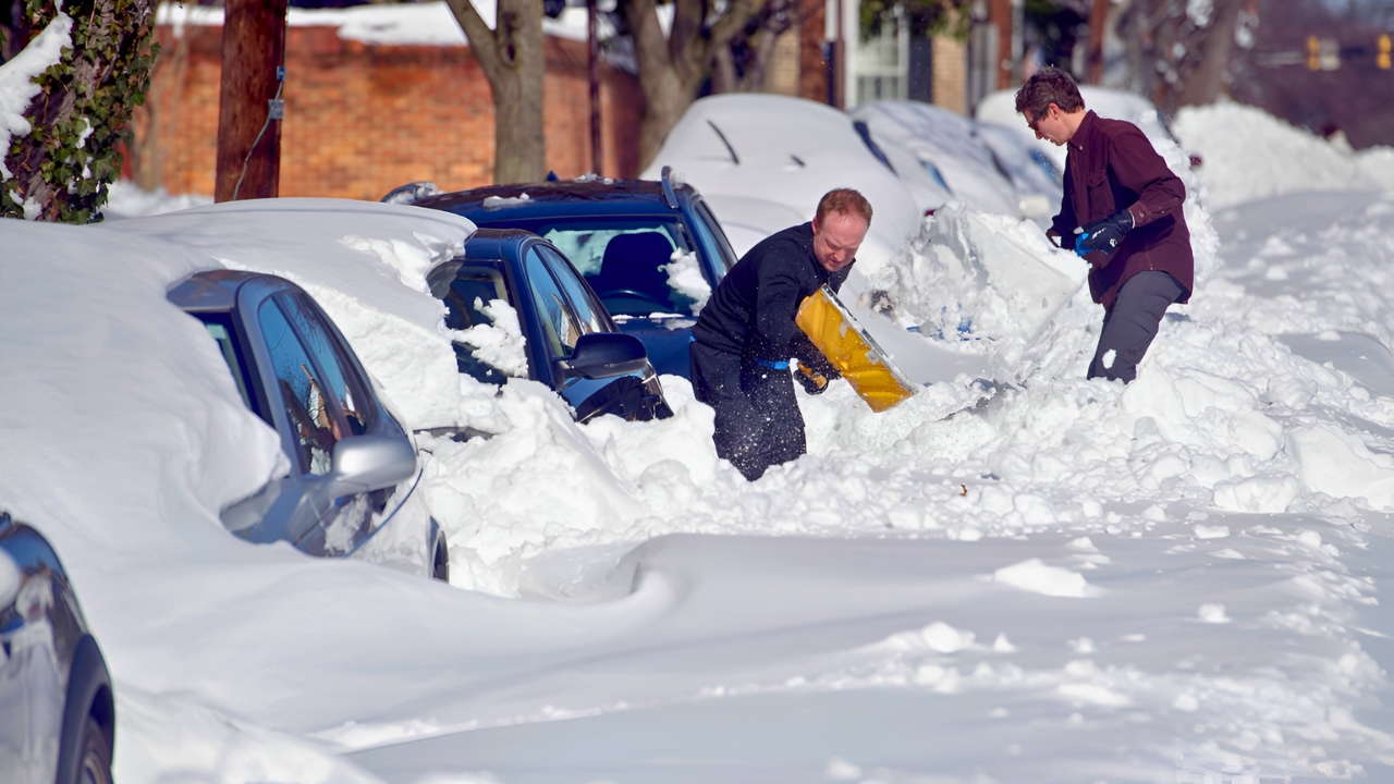
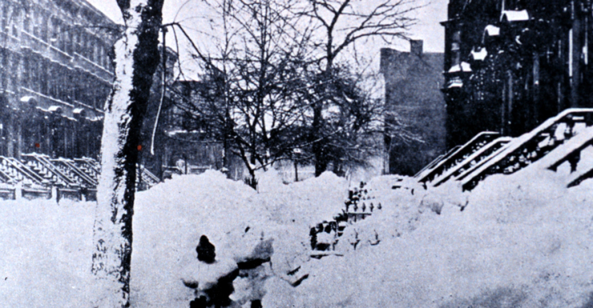
The first signs of this atmospheric upheaval emerged during Thanksgiving weekend, when lake-effect snow dumped 12 to 30 inches across the Midwest, with snowfall rates reaching 2 to 3 inches per hour. The disruption was staggering: airlines canceled 2,679 flights, with 2,000 cancellations on a single Saturday alone. Eighty million Americans attempted to travel during the holiday period, and the FAA processed 232,000 flights during Thanksgiving week. Despite the chaos and widespread delays rippling through major hubs like Chicago, New York, Detroit, and Minneapolis, meteorologists emphasize this was merely Phase One of a much more severe event.
Understanding the Polar Vortex Mechanism
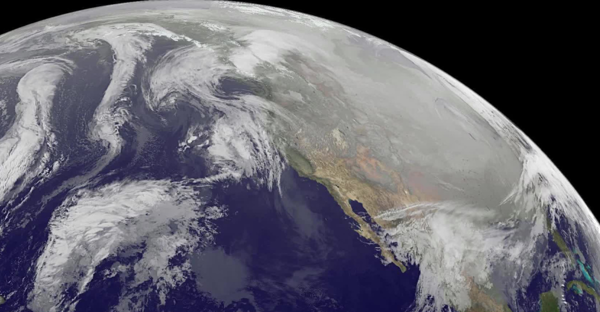
The culprit behind this extreme weather is a stretched polar vortex—the atmospheric circulation that normally keeps Arctic cold locked in the far north. When this vortex weakens or stretches southward, frigid air breaks through like water breaching a dam. According to the National Weather Service and Cohen’s analysis, this November-onset disruption is nearly unprecedented, triggered by a stratospheric warming event that is reversing polar vortex winds and directing Arctic fury directly toward North America with unusual intensity and persistence.
This counterintuitive phenomenon occurs when air temperatures rise miles above where weather actually happens. The warming destabilizes the polar vortex, unleashing severe ground-level cold. Unlike typical sudden stratospheric warming events that last up to two months, this prolonged disruption is expected to dominate December weather patterns for several weeks—an exceptionally rare early-winter pattern shift.
The Main Event: Mid-December Extremes
When mid-December arrives, the Northeast will experience cold far more severe than current Midwest conditions. Cohen’s models predict temperatures 15 to 20 degrees below normal December averages, with some areas potentially experiencing 30 to 50 degrees below seasonal expectations. New York City, typically around 37 degrees in mid-December, faces potential persistent highs in the low 20s or teens. Philadelphia, Boston, and the entire Interstate 95 corridor could see December conditions resembling early February.
Before the extreme cold fully settles, another winter storm is expected to target the Northeast on Monday into Tuesday, with forecasts predicting 6 inches or more of snow for certain urban areas and 3 to 5 additional inches across the Midwest. The rain-versus-snow boundary along Interstate 95 could shift northward, potentially bringing significant snow to Philadelphia, New York, and Boston.
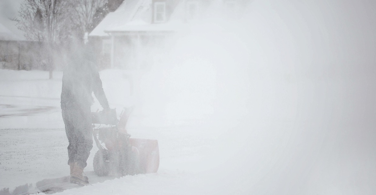
Lake-Effect Snow and Infrastructure Strain
The Great Lakes have not yet entirely frozen, and cold air sweeping over still-unfrozen water unleashes intense lake-effect snow. Northwestern Pennsylvania and western New York remain under warnings through early December, with 12 to 24 additional inches possible. Northern Michigan and Ohio face similar threats, with the National Weather Service warning of 1 to 2 inches per hour of snowfall—creating whiteout conditions and life-threatening travel hazards.
The convergence of peak holiday travel volume and severe weather creates compounded strain on utilities, emergency services, and public infrastructure. Power grids prepared for typical December demand may struggle under extreme conditions. Water pipes in unprepared areas face freezing and rupturing risks. Homeless populations without adequate heating face life-threatening exposure, and healthcare systems prepare for cold-related injuries.
Historical Context and Uncertainty
Judah Cohen references December 2022’s Buffalo blizzard as a cautionary precedent, where a stretched polar vortex produced a record-setting blizzard resulting in numerous fatalities. While 2024’s event differs atmospherically, the underlying mechanism shares fundamental similarities. Weather experts struggle to recall recent December events of comparable severity and geographic scale. Historical comparisons suggest that winter 2013-14 experienced similar recurring stretched polar vortex patterns throughout the entire season.
Cohen acknowledges that exact temperature predictions remain uncertain, but his modeling system indicates that the East Coast will experience the most unusually cold air compared to monthly averages anywhere on Earth during the third week of mid-December. Two weeks remain to prepare—time enough to check on vulnerable neighbors, winterize homes, stock supplies, and adjust travel plans. The polar vortex isn’t breaking rules for entertainment; it’s fundamentally shifting because global atmospheric patterns are creating rare and dangerous weather events.
Sources
Judah Cohen, MIT Climatologist – Polar vortex modeling, temperature anomaly forecasts, stratospheric warming analysis (USA Today, Yahoo News, November–December 2025)
National Weather Service – Official polar vortex timeline, temperature forecasts, lake-effect snow warnings, coast-to-coast cold outbreak alerts (NWS Climate Prediction Center, December 2025)
NOAA – Stratospheric warming event analysis, polar vortex disruption mechanics, sudden stratospheric warming (SSW) briefings (NOAA Climate.gov, November–December 2025)
FAA Records – Thanksgiving flight operations data, cancellation statistics, record flight volumes (FAA, November 2025)
National Weather Service Lake-Effect Snow Warnings – Pennsylvania and New York snowfall predictions, 12–24 inch accumulation forecasts, whiteout condition alerts (NWS, November–December 2025)