Two winter storms are forecast to affect the Midwest and Northeast in succession this week, bringing significant snow, gusty winds, and below-normal temperatures to portions of the region. The first system is expected Friday through Sunday, with the second arriving Monday through Wednesday. These consecutive storms will impact major interstate corridors and affect millions of travelers during the post-Thanksgiving period.
While conditions will be challenging, meteorologists emphasize that most areas will remain passable with appropriate precautions and preparation. The timing during holiday travel season means road conditions will require careful attention, though major highways are expected to remain open with reduced speeds and increased travel times.
Back-to-Back Winter Storms
Two storms will occur with limited time between them, affecting travel during one of the busiest weeks of the year. The first system brings snow Friday through Sunday morning across the Midwest and into portions of the Northeast. The second system follows Monday through Wednesday with additional snow expected.
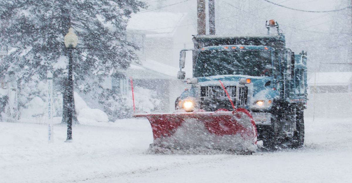
While the back-to-back nature means crews won’t have much downtime for cleanup, modern snow management has become quite efficient, and major routes are typically treated and reopened within hours of snow ending. According to the National Weather Service, travelers should exercise caution during peak snowfall hours but can travel during less intense periods with appropriate winter driving precautions.
Millions in Storm’s Path
Millions of people from the Northern Plains through the Northeast will experience snow and wind from these two systems. The forecast area extends from Minneapolis eastward through Boston, covering the densely populated Midwest and Northeast regions.
While significant snow is expected in portions of this broad area, not all locations will see equal impacts. Some areas may receive several inches while others see lighter amounts. Forecasters note that preparations such as stocking food, water, and medications are sensible precautions for any winter storm event.
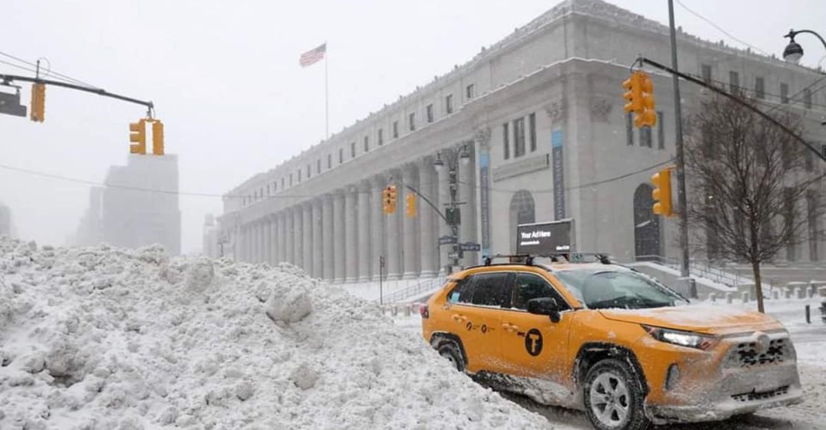
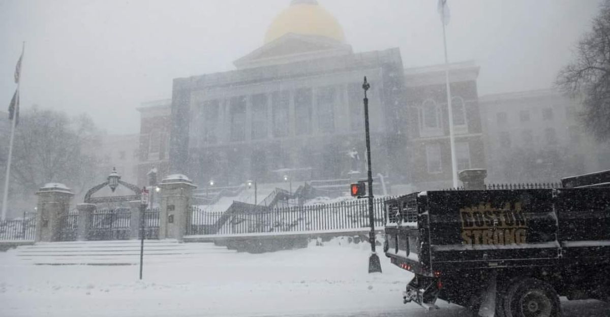
Major Cities Expecting Snow
Several major cities including St. Louis, Des Moines, Chicago, Milwaukee, and Detroit are in the forecast area for significant snow from these storms. November snowfall is not unusual for these locations, though the timing may feel early in the season. City snow removal operations are prepared for November weather and can typically manage the expected accumulations.
Schools and businesses should monitor conditions but most will remain operational with modified schedules if needed. Road salt supplies are typically maintained through November for this exact reason. Airports will likely operate with delays during peak snowfall hours but typically resume normal operations quickly once snow ends.
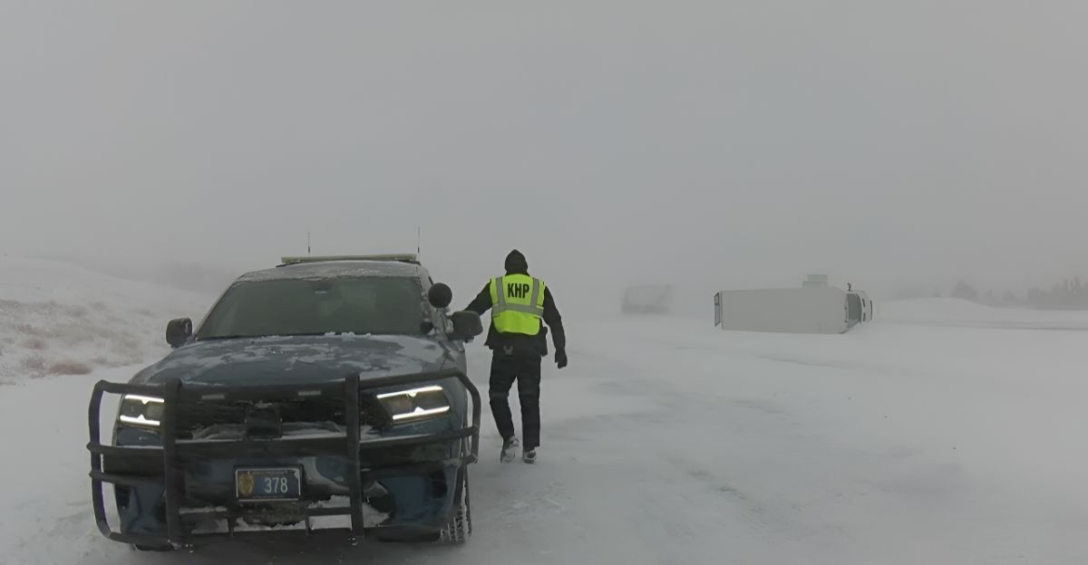
Highway Conditions and Travel
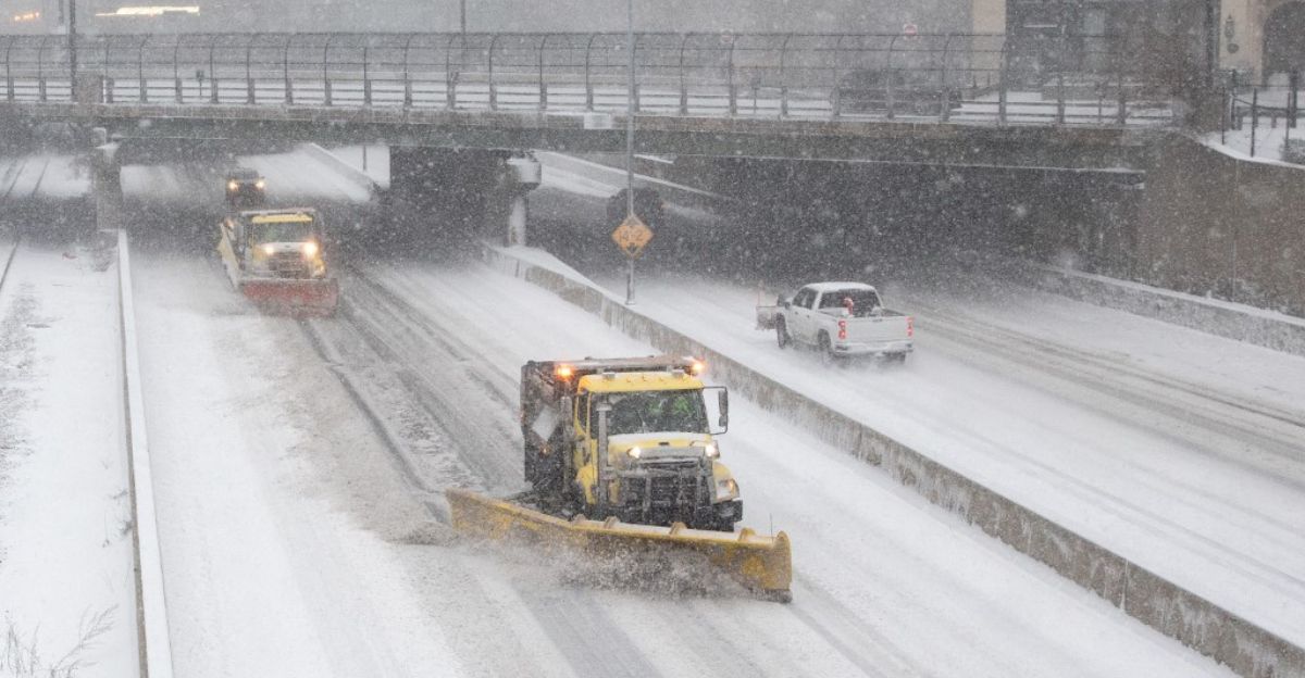
Interstates 70 and 80 are major corridors that will experience snow and reduced visibility during peak storm hours Friday through Sunday and again Monday through Wednesday. Travel on these routes will require winter driving practices including reduced speeds, increased following distance, and appropriate tires.
The National Weather Service recommends exercising caution and planning for longer travel times during periods of active snow. Most major highways remain open during winter storms with enhanced snow removal and salt treatment applied continuously.
Expected Snow Accumulation
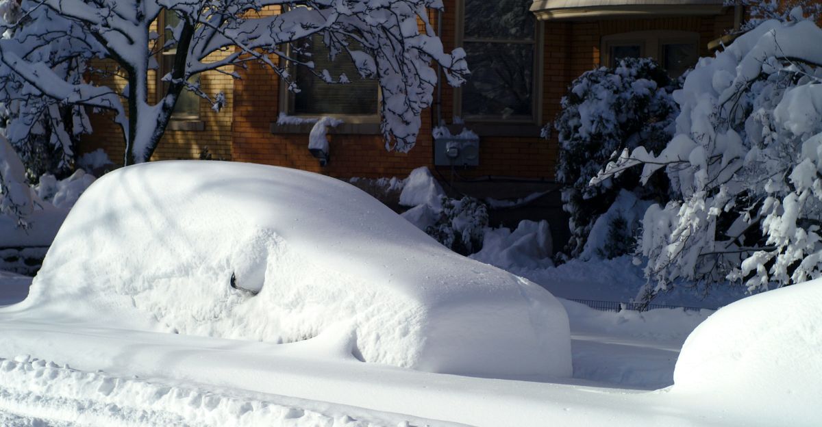
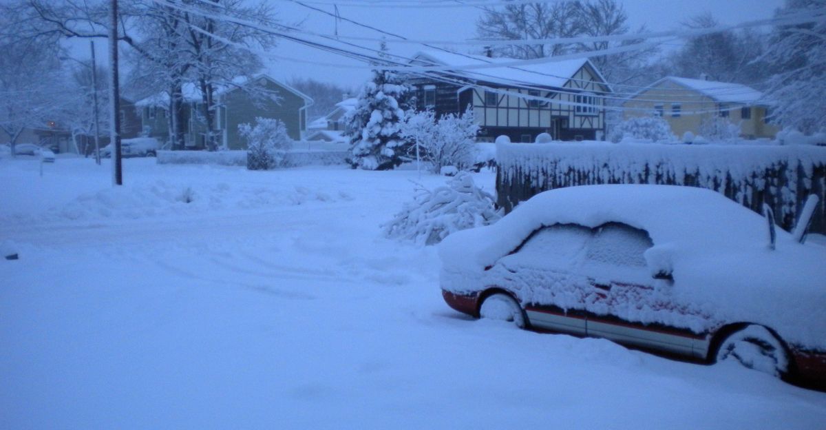
Snowfall from the two winter storms will vary across the region, with several Midwest and Great Lakes cities expecting a moderate to significant accumulation over a 24–36 hour period. Des Moines is forecast to receive about 4 to 8 inches of snow, while Chicago and Milwaukee are each expected to pick up roughly 5 to 10 inches, leading to periods of slick roads and slower travel.
Detroit is projected to see around 3 to 6 inches, and St. Louis should get a lighter 1 to 3 inches before precipitation changes to rain, whereas parts of northern Wisconsin could see the heaviest totals, in the range of 6 to 12 inches, with road crews working during and after the storms to clear major routes in a reasonable time.
Below-Normal Temperatures Expected
Temperature forecasts show readings below normal for late November, with lows in the teens to low 20s across much of the region Saturday through Monday. These temperatures are typical for December and January rather than late November. While cold, this is a manageable winter condition rather than an extreme cold event.
Standard winter precautions apply: dress warmly when outdoors, ensure heating systems are functioning, and limit time in exposed conditions. Outdoor workers and those engaged in recreational activities should take normal cold-weather safety measures. Pets should have shelter and water available. Vehicles should have proper antifreeze and functioning heaters.
Stratospheric Changes
Meteorologists have identified a pattern called sudden stratospheric warming occurring high above the North Pole. This phenomenon involves rapid temperature increases in the upper atmosphere that can influence surface weather patterns. The polar vortex, a circulation of cold air at high latitudes, responds to these changes and can shift its position.
While such events typically occur about every two years, the exact impacts on surface weather are variable and depend on many additional atmospheric factors. Current models suggest this could influence late November and December weather across North America.
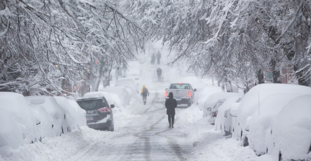
Holiday Travel Considerations
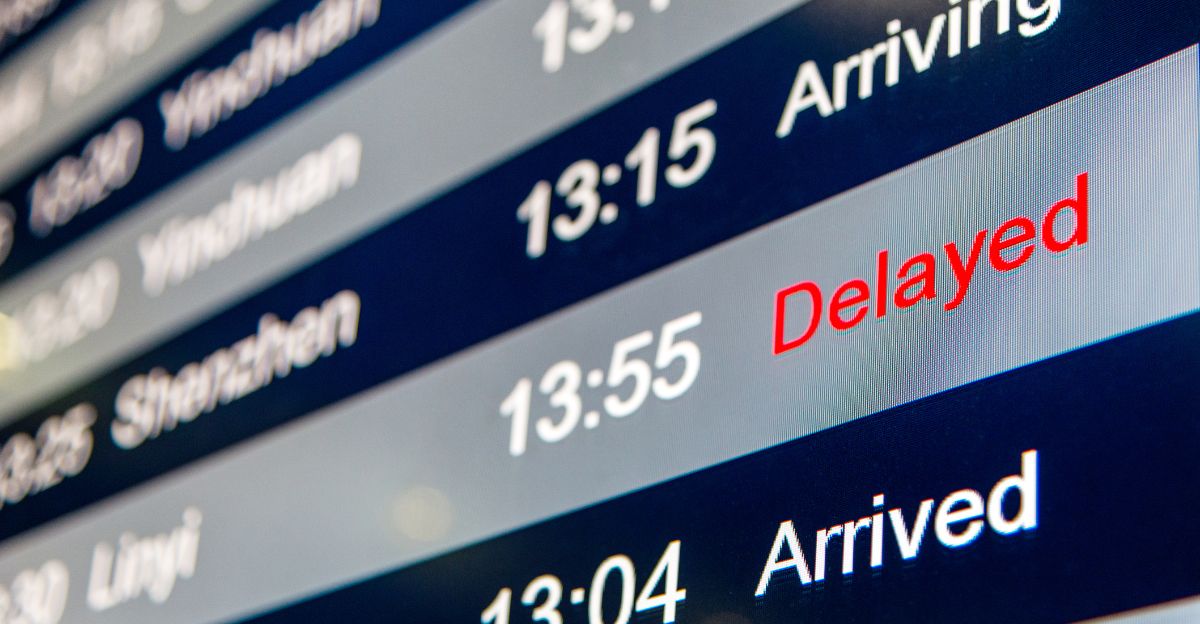
Thanksgiving travelers will be returning to their residences during the timeframe of these storms, which is a typical pattern for November weather. Travelers should prepare for potential delays by allowing extra time, ensuring vehicles are winter-ready, and checking weather updates before departing. Flights may experience minor delays during peak snow periods but major airlines maintain established protocols for winter weather operations.
Road travel will be slower than normal, so planning for extra time is prudent. Ground transportation services continue operating during winter storms with modified schedules. Weather services recommend that travelers check current conditions before leaving and drive safely with appropriate precautions.
Power System Reliability
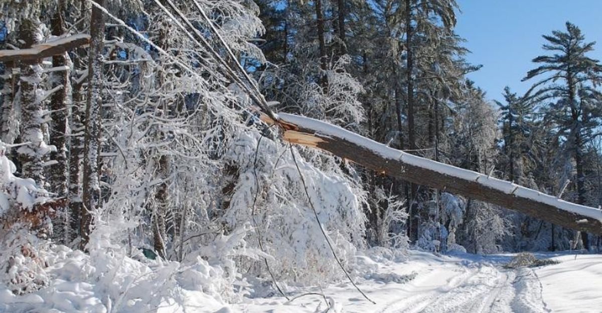
Utility companies are monitoring conditions and have crews prepared to respond to any weather-related power disruptions. Modern power systems include redundancy and are engineered to withstand typical winter weather events. Some isolated outages can occur during heavy snow and high winds, particularly in rural areas where trees may be laden with snow.
Utilities typically restore power quickly using established protocols and equipment pre-positioned for such events. Consumers can prepare by ensuring they have flashlights, batteries, and portable phone chargers. Backup power sources such as generators should be tested and refueled before storm season.
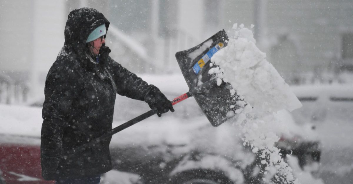
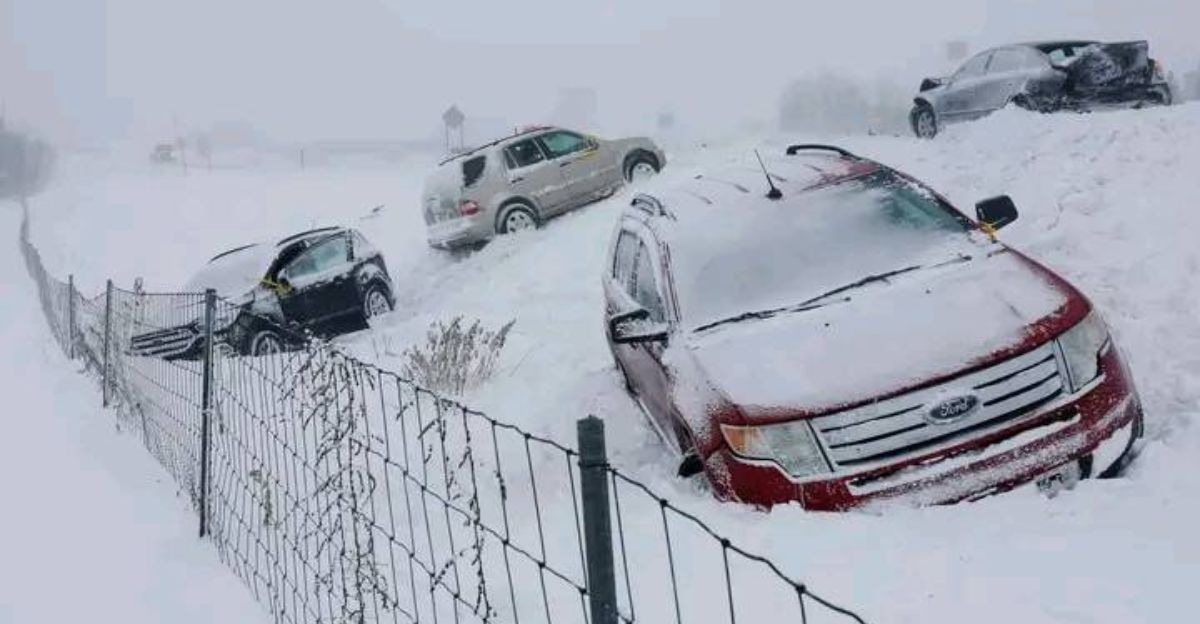
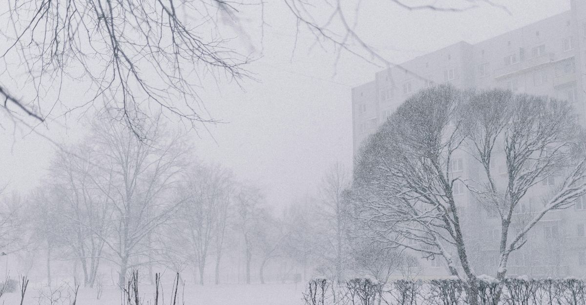
Winter Driving Safety
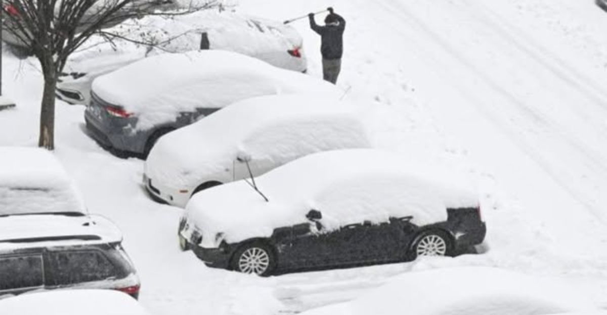
Heavy snow and wind will create challenging visibility conditions, particularly during peak snowfall periods Friday night through Sunday and again Monday through Wednesday. Drivers should reduce speeds, increase following distance, and use headlights during snow.
The National Weather Service recommends avoiding travel during the most intense snowfall hours, generally early morning and overnight when visibility is poorest. For necessary travel, ensure vehicles have winter tires, functioning wipers, adequate fuel, and emergency supplies including blankets and first aid kits. If visibility becomes extremely limited, pulling safely off the roadway until conditions improve is appropriate.
Economic Impacts and Adaptation
Winter weather events do produce some economic impacts including increased snow removal costs, minor business adjustments, and temporary transportation delays. However, regional economies are well-adapted to managing seasonal winter weather through established practices. Most businesses remain operational with modified schedules, and supply chains continue functioning with slight delays.
Schools may schedule weather-related closures, which families typically accommodate. Snow removal operations are budgeted routine expenses rather than crisis-level costs. Airlines, ground transportation, and shipping services have developed procedures for winter weather that maintain reasonable service levels. Insurance impacts from winter weather are actuarially expected and incorporated into standard coverage.
Seasonal Weather Patterns
November snowfall is not uncommon in the Midwest and Northeast, though the specific timing and intensity vary year to year. This year’s early winter weather is within the normal range of variability for the season. While snow in late November may feel early for some, meteorologists note that significant snow before winter’s official start is a recurring feature of the climate in these regions.
Most communities and individuals maintain some degree of winter readiness throughout the November-December transition period. Some preparation, installing winter tires, checking heating systems, and stocking emergency supplies, is standard for residents of northern climates. Schools have established procedures for winter weather closures as part of routine operations.
Track and Intensity Uncertainty
The second storm system arriving Monday through Wednesday will follow a track that is still being refined as the event approaches. Depending on the storm’s position, various regions of the Northeast could experience different impacts. If the system tracks inland, interior regions will see most of the snow, while coastal impacts would be minimal.
If the system tracks closer to the Atlantic coast, coastal regions could see heavier snow and possible minor coastal effects. Meteorologists note that this kind of uncertainty is normal several days ahead of a weather event and forecasts will become more precise as data improves. Current models show a range of possible tracks with no single scenario dominating the forecast. Northeast residents should monitor National Weather Service updates as the system approaches to understand impacts for their specific location.
Weather Outlook Beyond These Storms
Conditions will improve later in the week as the second storm system moves away. Temperature patterns following the storms will continue near or slightly below normal for late November, which is typical seasonal variation. Meteorologists note that the stratospheric warming event being monitored could influence weather patterns through December and beyond, but specific impacts depend on numerous factors that are difficult to predict far in advance.
Winter weather in the Northern Hemisphere typically includes periods of cold, snow, and variable conditions. Residents should continue standard seasonal preparedness and winter maintenance practices throughout December and January. Long-range forecasting remains inherently uncertain beyond about ten days, so specific predictions about overall winter intensity cannot be made with confidence.
Sources
- Washington Post – Back-to-back winter storms forecast for the Midwest and Northeast, including impacts to major interstates and cities.
- New York Times – Post‑Thanksgiving winter storm expected to disrupt travel across the Northern U.S., with heavy snow and blizzard‑like conditions.
- CNN – Cross‑country/post‑Thanksgiving winter storm coverage, including more than 1,000 miles of snow and sharp temperature drops for millions.
- NBC News – Winter weather alerts for tens of millions and hazardous post‑Thanksgiving travel in the Midwest.