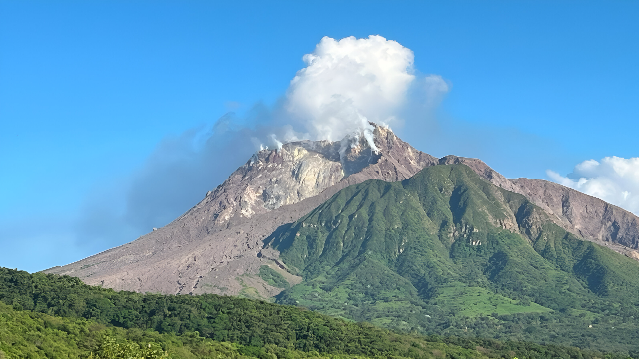
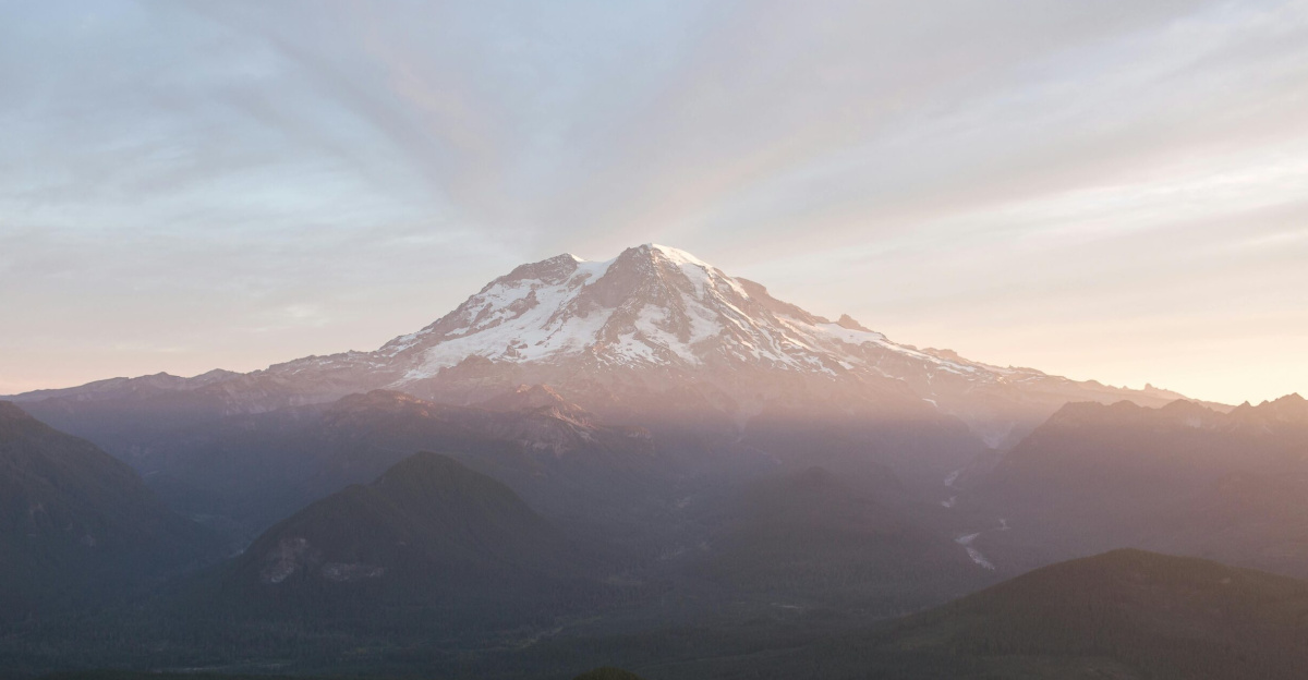
Mount Rainier looms over the Pacific Northwest, its snow-capped summit visible from Seattle on clear days. At 14,411 feet, this stratovolcano is not just a scenic backdrop—it is one of the most hazardous volcanoes in the United States, threatening more than 3.7 million people in the Seattle-Tacoma region. The U.S. Geological Survey ranks Rainier among the nation’s top three most dangerous volcanoes, and it is one of only 16 Decade Volcanoes worldwide, a designation reserved for volcanoes with a history of large eruptions and proximity to populated areas.
Inside the Volcano: Monitoring the Unseen
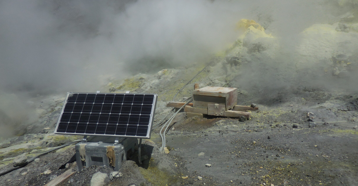
Beneath Rainier’s icy slopes, a network of seismic sensors, GPS receivers, gas monitors, and thermal cameras works around the clock. These instruments track subtle ground movements, gas emissions, and the faint tremors that hint at magma shifting deep underground. Unlike typical earthquakes, volcanic tremors produce continuous vibrations—sometimes lasting minutes or even days—signaling magma forcing its way through rock. Most of Rainier’s seismic activity is minor, with 3 to 10 small earthquakes detected each month, almost all too weak for people to feel. Yet, these tiny quakes are vital clues for scientists watching for signs of unrest.
When seismic activity increases, experts activate a 72-hour enhanced monitoring protocol. During this window, they scrutinize real-time data for patterns that might indicate an impending eruption. This approach proved its worth in November 2025, when a suspicious signal at a high-altitude station triggered heightened scrutiny. The anomaly turned out to be radio interference from ice, not volcanic activity, but the episode underscored the importance of constant vigilance and rapid response.
The Lahar Threat: Mudflows and Mass Destruction
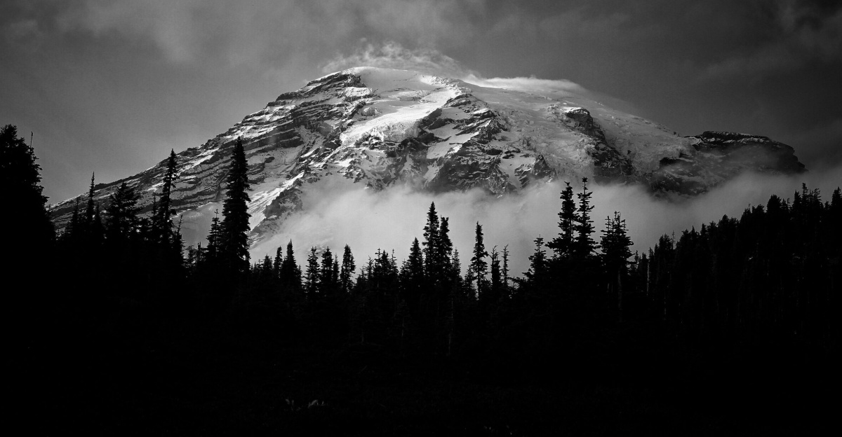
Rainier’s greatest danger is not lava or ash, but lahars—fast-moving volcanic mudflows. The mountain holds more glacial ice than all other Cascade volcanoes combined, about 35 square miles. An eruption could rapidly melt this ice, unleashing torrents of mud, rock, and debris down river valleys at speeds up to 50 miles per hour. Historical records show that lahars from Rainier have reached as far as present-day Tacoma and the outskirts of Seattle, burying vast areas under thick layers of debris.
Today, more than 150,000 people live in high-risk lahar zones, including communities like Orting, Puyallup, and Sumner. In some cases, residents could have as little as 45 minutes to evacuate if a lahar were triggered. To address this, Pierce County has installed acoustic flow monitors in river valleys to detect the seismic signature of approaching mudflows. When activated, these sensors trigger sirens, giving downstream communities a critical 30 to 45 minutes to reach higher ground.
Preparedness and Response: Drills, Plans, and Technology
Decades of planning have shaped a robust emergency response system for Mount Rainier. Pierce County and neighboring jurisdictions maintain detailed evacuation routes, temporary shelter plans, and communication protocols. Regular drills, including large-scale lahar evacuation exercises, ensure that schools, emergency services, and residents know what to do when sirens sound. The Mount Rainier Hazard Work Group coordinates efforts across local, state, and federal agencies, while the USGS Cascades Volcano Observatory provides scientific expertise and hazard assessments.
Public education campaigns help residents distinguish between lahar warnings and eruption alerts, emphasizing the need for rapid action. The region’s emergency communication network uses text messages, phone calls, radio, television, and social media to reach as many people as possible, even during power outages. Monthly siren tests and annual drills reinforce preparedness, aiming to reduce panic and confusion during a real emergency.
A History Written in Mud and Ash
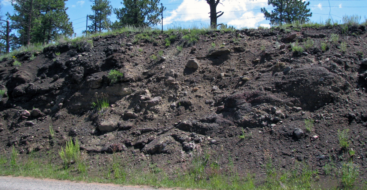
Mount Rainier’s most significant volcanic events are recorded not in living memory, but in the landscape itself. The last reported activity was in 1894, when observers noted possible steam explosions, though no eruption was confirmed. The Electron Mudflow, about 500 to 600 years ago, sent a massive lahar down the mountain without a magmatic eruption. The Osceola Mudflow, around 5,600 years ago, traveled 70 miles to Puget Sound, covering 200 square miles with debris up to 70 feet deep. Geological evidence suggests Rainier produces major lahars every 500 to 1,000 years, making the next event a matter of when, not if.
Looking Ahead: Living with Risk
Mount Rainier is part of the Cascade Volcanic Arc, a chain of active volcanoes stretching from British Columbia to California. While the probability of an eruption in any given year is low—estimated at less than 1%—the consequences of complacency could be catastrophic. Scientists stress the need for ongoing investment in monitoring, public education, and emergency planning. As the region grows, maintaining vigilance and preparedness across generations remains a critical challenge. For millions living in Rainier’s shadow, the mountain is both a symbol of natural beauty and a reminder of the power beneath their feet.