Western Washington is facing one of its most dangerous flood episodes in decades as two strong atmospheric rivers bring days of heavy rain, high snow levels, and rising rivers across the region.
By December 9, 2025, a second, stronger storm arrived on top of already soaked soils and stressed levees, driving river levels toward or beyond records set in past major floods.
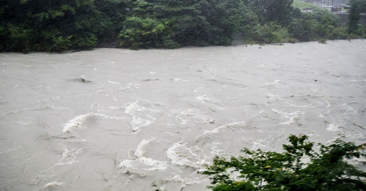
Forecasters warned that the Skagit River could climb into the mid‑40‑foot range at Concrete and close to 40 feet at Mount Vernon, putting levees under serious strain and prompting evacuation alerts, road closures, and a statewide emergency declaration from Governor Bob Ferguson.
The same pattern is affecting other rivers, including those in Snohomish, Pierce, Lewis, and Mason counties, which raises the risk for nearby communities that sit in low-lying floodplains.
Why These Storms Are So Intense
The flooding is tied to powerful atmospheric rivers, which are long, narrow bands of moisture that transport large amounts of water vapor from the Pacific Ocean into the Pacific Northwest.
Meteorologists report that sea and air temperatures are running well above normal, which helps the storms hold more moisture and dump heavier rain over western Washington.
Several inches of rain have already fallen in lowland areas, with 8–10 inches or more in parts of the Cascades, where very high snowlines mean warm air is melting mountain snow and feeding even more water into the rivers.
Scientists and the National Weather Service say these conditions are consistent with human‑driven climate change, because warmer air can store more moisture and warmer oceans increase evaporation, making intense atmospheric river events more likely and more damaging than they were in past decades.
Impact on Communities, Infrastructure, and the Future
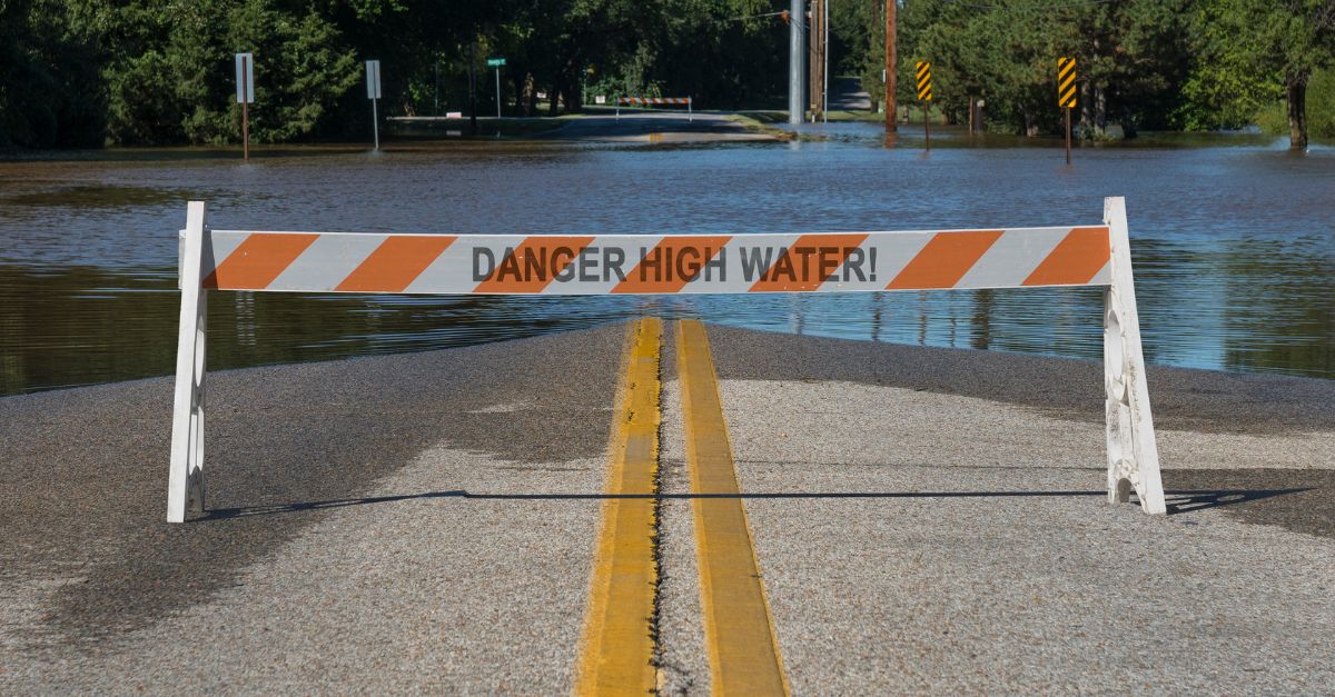
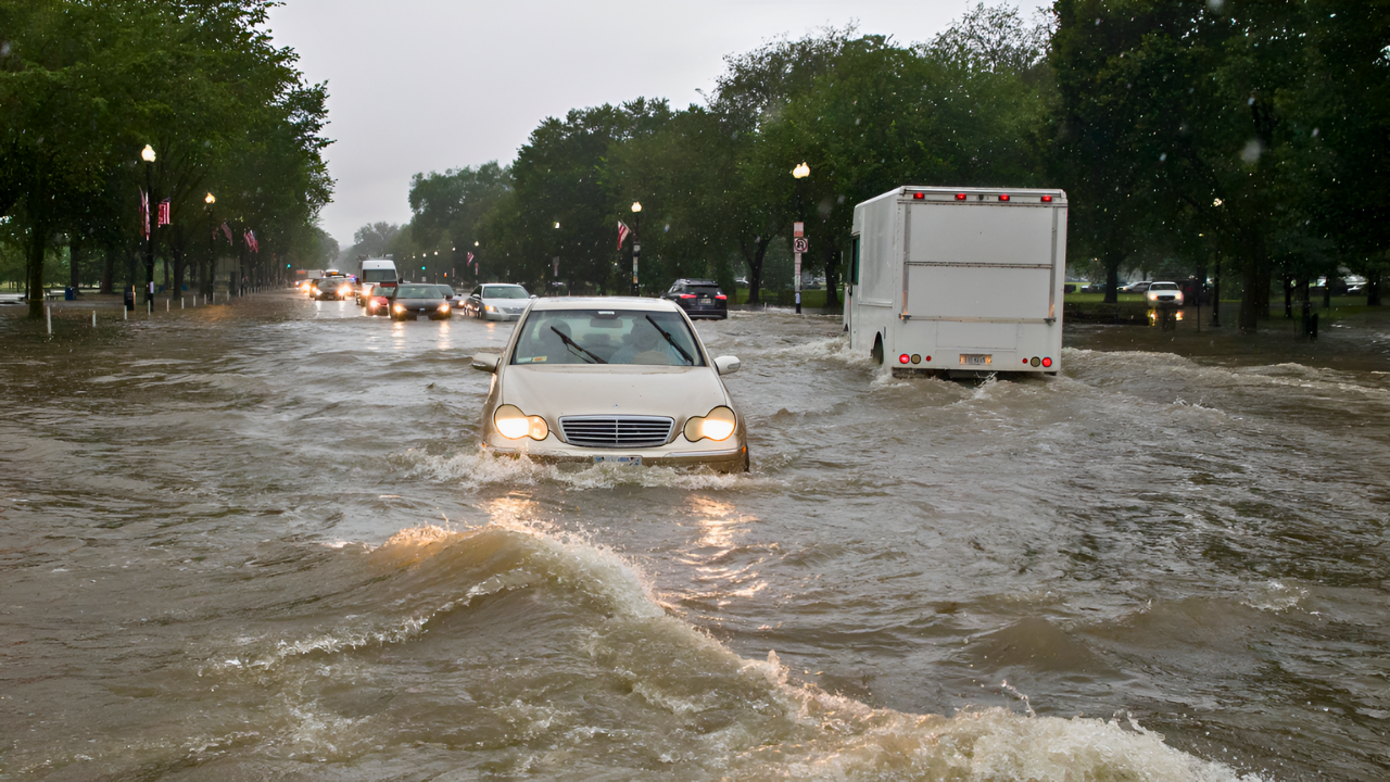
The rising rivers have already disrupted daily life, shutting down parts of Interstate 5 near Napavine and several key state routes near Fall City, Carnation, North Bend, and other communities, which has slowed commutes, delayed schools, and complicated emergency response.
Officials are preparing for possible evacuations of about 75,000 people near the Skagit River and say as many as 100,000 residents around the wider Puget Sound region could face evacuation orders if forecasts are correct, with some areas such as Orting already under “go‑now” messages as local gauges approach record levels.
Fire and rescue teams, supported by the National Guard, are handling swift-water and vehicle rescues, checking levees and flood walls, and assisting in moving people to shelters. Meanwhile, utilities, ports, and farms are bracing for crop damage, power outages, and supply-chain interruptions.
Economists say the total cost is still uncertain but could reach at least the tens of millions of dollars, and planners warn that if atmospheric rivers keep strengthening with a warming climate, floods once seen as “worst‑case” may become more frequent, forcing counties to rethink levees, land use, and evacuation plans along western Washington’s rivers.
Sources
Seattle Times, 10 Dec 2025
Climate Research, Atmospheric River Projections
National Weather Service Seattle, Flood Watch
News Channel 5, 10 Dec 2025
KUOW, 9 Dec 2025
Washington Examiner, 9 Dec 2025