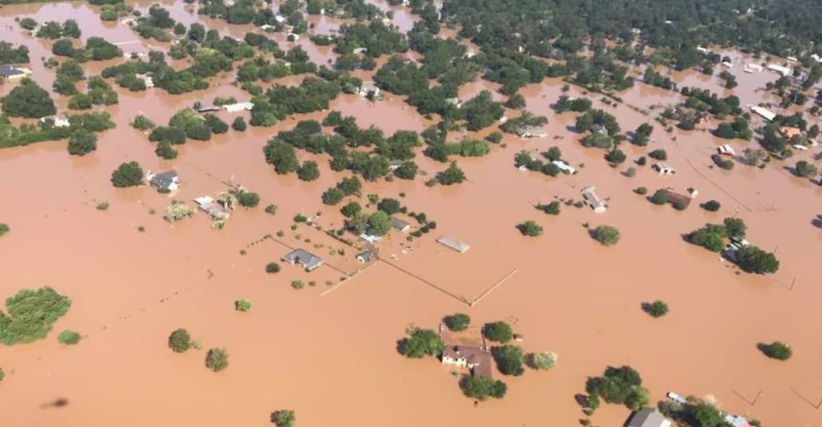
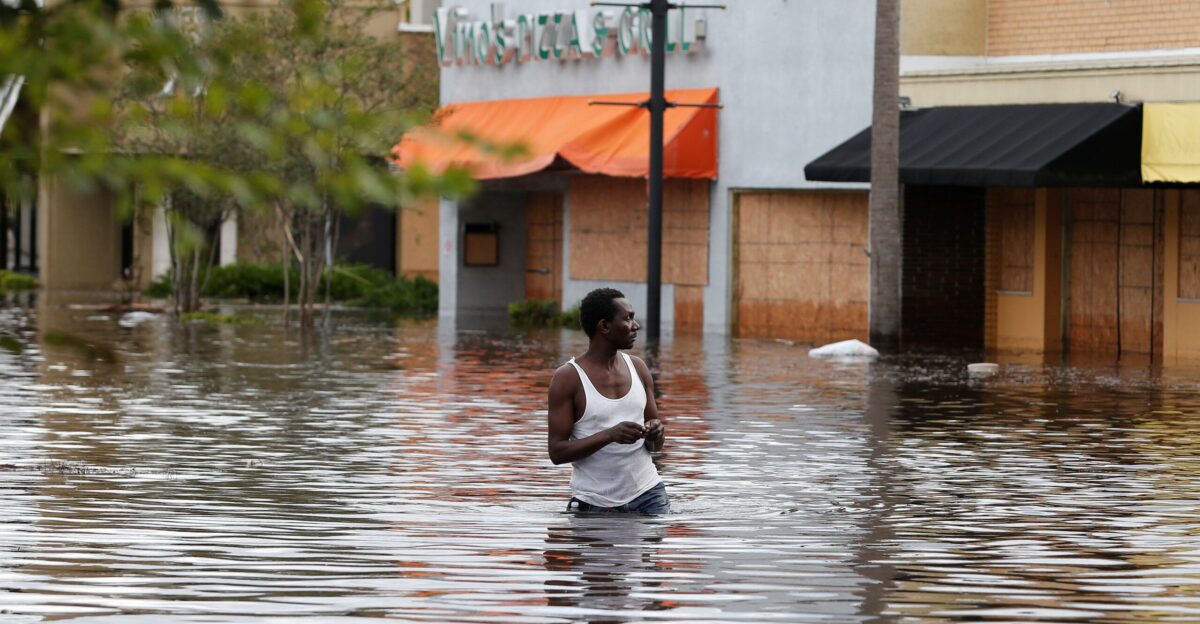
Coastal floods are hitting U.S. towns harder than ever, thanks to climate change speeding up sea-level rise. This puts millions in danger from dirty, toxic floodwater. Remember Hurricane Harvey in 2017? It unleashed 10 million pounds of pollutants from drowned factories. Now, fresh studies predict a huge jump in risks by 2100, what if poisonous sites get totally swamped?
Everyday storms turning into toxic nightmares for neighborhoods nearby could be more plausible than we might have thought before. Lives, homes, and health hang in the balance as waves creep closer. Can we stop the surge?
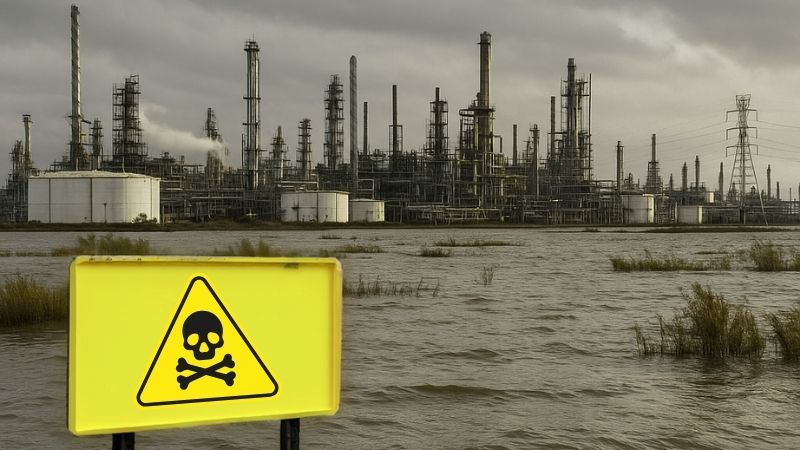
Poisons Lurk by the Shore
America’s beaches and bays are packed with over 47,600 spots handling sewage, oil, gas, and trash, spread across 23 states and Puerto Rico. Rising seas make these time bombs even scarier, as floods could wash poisons straight into your backyard or local rivers. Past pollution has already baked in tons of trouble.
How many of these hotspots will the ocean claim next? From refineries to waste plants, the map lights up like a danger zone. Time to wake up before the waves do.
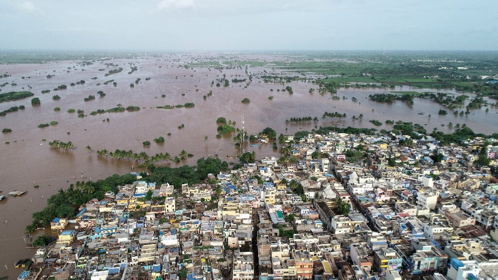
Seas Are Swallowing Land
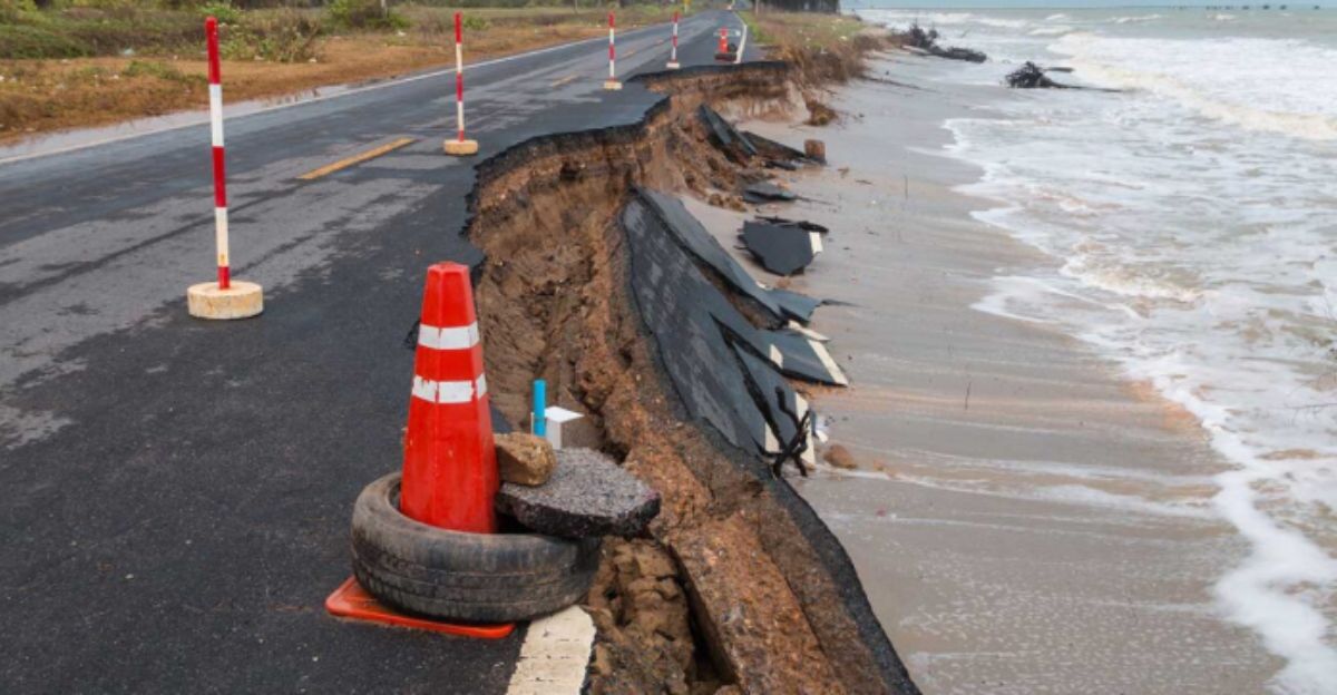
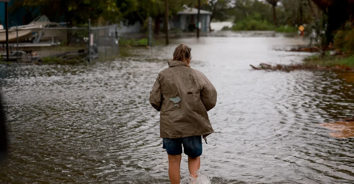
Sea levels are climbing fast, U.S. coasts could see 10-12 inches more by 2050 from shrinking glaciers and expanding warm oceans. Big trading hubs built long ago now sit smack in the flood path. Past storms like Katrina spilled secrets of hidden toxins; tomorrow’s deluges promise worse.
Think of it as a slow-motion tsunami reshaping maps. Factories once safe now teeter on the edge. Neighborhoods from Florida to California feel the squeeze already.
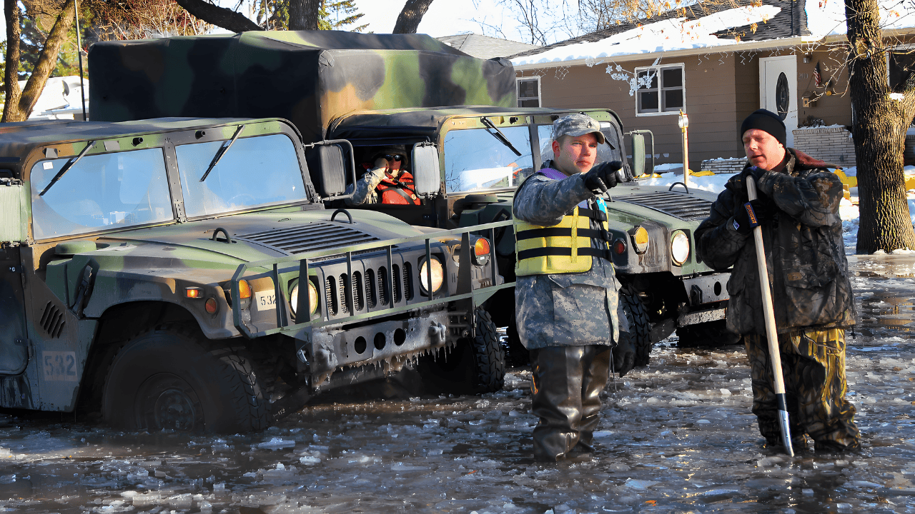
Storms Are Closing In
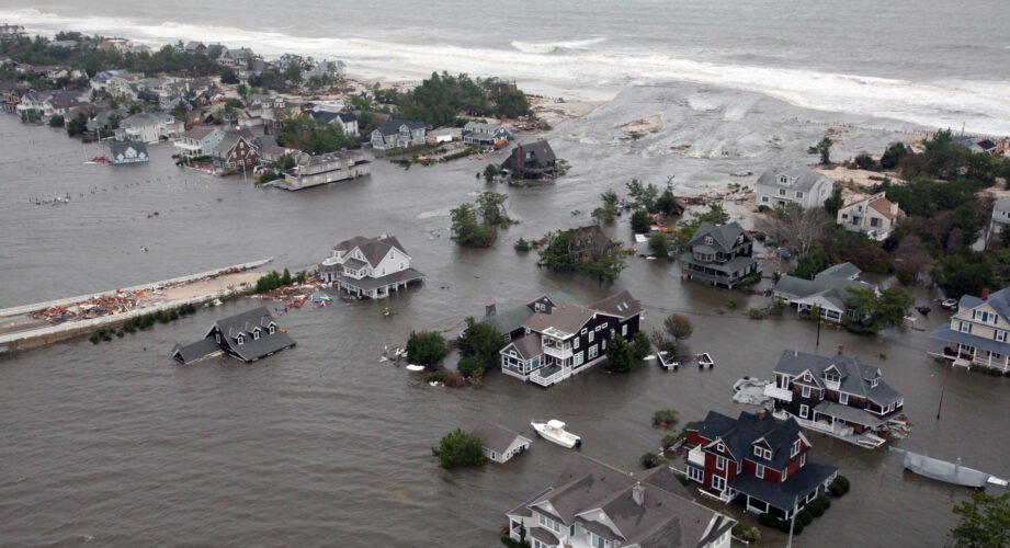
Wild weather is squeezing coastal setups like a vice. Hurricanes Katrina and Harvey didn’t just flood, they dumped chemicals into air and streams from overwhelmed plants. Today’s 100-year floods happen yearly now, thanks to beefed-up storm surges.
Locked-in climate pollution makes it worse and shocking stats show risks exploding. Gulf refineries and East Coast ports brace for impact as tides push inland while families watch waves crash closer.
5,500 Danger Zones Exposed
A blockbuster UCLA study in Nature Communications pinpoints over 5,500 toxic sites, like sewage works and oil refineries, at flood risk by 2100 if emissions stay high. Nearly 3,800 could drown by 2050, no matter what.
This is the biggest tally ever, scanning every coastal threat. Red dots swarm maps from Texas to Maine. These aren’t abstract numbers; they’re factories full of hazards waiting to spill.
States in the Hot Seat
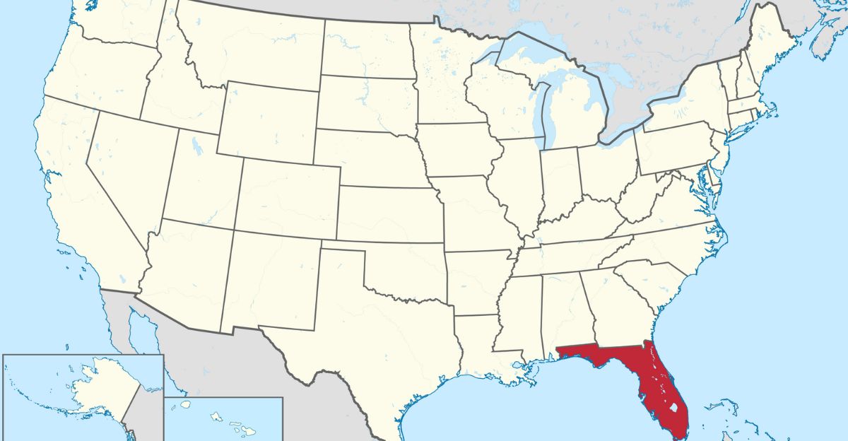
Florida leads the pack, with New Jersey, California, Louisiana, New York, Massachusetts, and Texas holding nearly 80% of those 5,500 risky sites. Florida’s super-dense clusters scream trouble, while the Gulf battles extra hurricanes and sinking land.
Planners in Tallahassee to Houston scramble as exposures pile up. Uneven hits mean some spots get slammed harder, think crowded ports versus quiet bays. National risk skyrockets because of these heavyweights.
Neighborhoods Feel the Heat
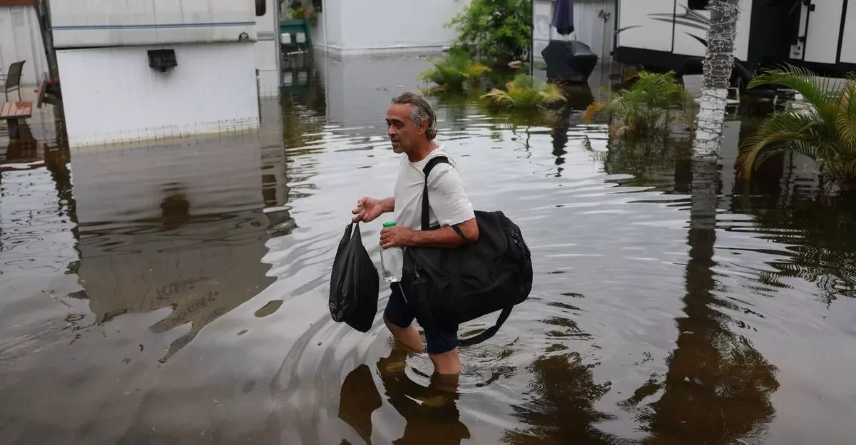
Homes near these danger zones pack higher poverty, renters, Hispanic families, seniors, and folks who skip the polls. Add language barriers and no cars, and it’s a perfect storm of vulnerability. Up to 80 million Americans live in counties with risky sites.
They lack cash or wheels to flee floods laced with sewage and health hits are sure to follow. These aren’t stats, they’re people fighting for fair shots.
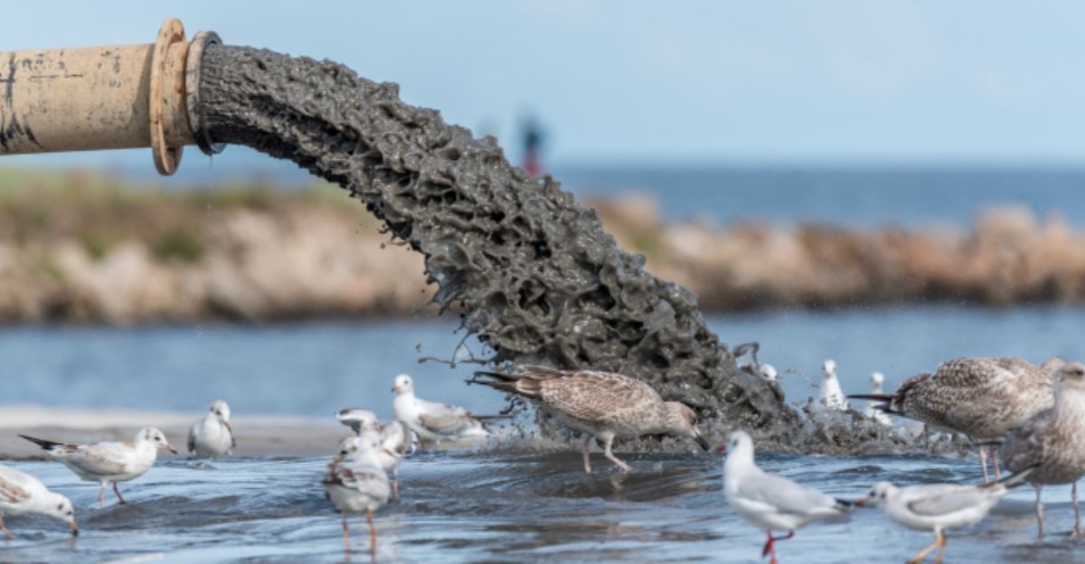
Poisons Ready to Spill
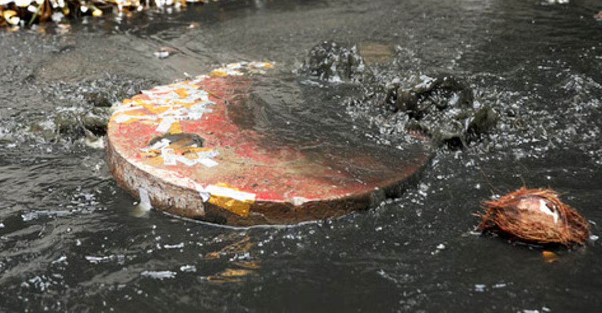
When floods hit, oil, sewage, and waste gush out, triggering rashes, burning eyes, killer headaches, lung problems, even cancers down the line. Over 40% of fossil fuel ports, 33% of power plants, and 22% of sewage spots sit in the crosshairs.
Regulators demand backup plans now while hazmat teams race against tides, but prevention beats cleanup. Imagine your tap water turning toxic overnight. Overloaded sites mean big trouble for all and it’s time to fortify before the next big wave.
Pollution Locks Us In
High-emission paths doom 5,500 sites by 2100, but smart cuts could save 300-362. Still, 3,800 face floods by 2050 no matter what, past emissions guarantee it and graphs show the rise speeding up.
Global teamwork slashes risks across oil, power, and waste sectors. Trends scream for change now. Picture sparing thousands of homes from poison plumes. Data doesn’t lie and our choices today shape tomorrow’s shores.
The Poor Get Hit Worst
Overlays reveal marginalized spots face 19-50% higher chances of toxic flood sites, fueled by poverty, bias, and crummy infrastructure. Zoning ghosts from decades ago trap families.
It’s environmental injustice on a whole other level. Poor roads and no backups amplify every wave. This hidden crisis screams for fixes because legacy harms don’t fade alone.
Experts Raise the Red Flag
Flooding from sea level rise is dangerous on its own but when facilities with hazardous materials are in the path of those floodwaters, the danger multiplies.
Communities are fed up, demanding open access to flood models amid stalled federal responses, planners face mounting public heat. Backlash grows as past spills like Harvey haunt memories, with experts like those at Climate Central echoing the call for action.
Time for Bold Policy Changes
Bosses push for smarter land rules, emission slashes, and community seats at the table. Leaders are rallying for game-changing fixes and rethink land use to move sites from flood zones, slash emissions to slow sea rise, and give everyday folks a real voice in advisory groups.
Federal tools like NOAA’s flood maps already spotlight the hotspots, but toxic cleanups and upgrades crawl at a snail’s pace and states must fast-track the worst ones first.
Building Tougher Coasts

Communities are fighting back with smart defenses like early warning apps that buzz phones before floods hit, regular drills to prep families and factories, and deep cleanups of old toxic hotspots. Moderate emission cuts could shield hundreds of sites by 2100, while sea walls, raised platforms, and flood gates target sewage plants and refineries first.
Progress shines unevenly as Florida tests massive barriers and Texas drills hurricane response, but hope surges as towns team up. States vary in speed, yet collective action tempers the dread.
Big Questions Linger
Doubters keep asking tough questions: Can we really slash emissions enough to save thousands of sites, or will politics stall the progress? Funding for poor neighborhoods remains a black hole, leaving them last in line for defenses. Sinking cities like those in Louisiana throw curveballs with subsidence, making floods fiercer than models predict.
Earth.com spotlights funding battles that pit coasts against budgets. Outcomes teeter on votes, cash, and grit but these dangers top even the scariest graphs.
Our Coasts’ Big Test
Can sharp emission cuts and savvy planning spare 80 million Americans from toxic flood chaos, or will surging waves dump poisons on sleepy shores? The stakes couldn’t be higher as factories drowning means rashes, cancers, and wrecked homes for the vulnerable first. Urgent steps test our backbone and equity screams for poor and minority spots to lead the fix line.
Sources: