A sudden jolt rocked a peaceful Sunday afternoon in Northern California. The 4.7 magnitude earthquake struck near Susanville in remote Lassen County, shaking homes and stores for nearly two million people. The United States Geological Survey first measured it at 5.0 but later revised it down. Its shallow depth of 6.4 kilometers made the ground shake hard, from Redding to Sacramento and even across the border into Klamath Falls, Oregon.
Within minutes, more than 300 people reported the quake to USGS databases. The shaking caused chaos, like at a local Walmart where groceries tumbled from shelves during a deep rumble. The quake hit at 4:41 p.m. and became the second strongest in California for 2025. It tied a January 4.7 near Cobb in Lake County and trailed only an April 5.2 near Julian east of San Diego. That year, the state saw over 37,000 quakes, but most were too small to notice.
Walker Lane’s Tectonic Stir
The quake’s center sat along the Walker Lane, a lesser-known seismic zone that runs parallel to the California-Nevada border. This area takes 15 to 25 percent of the motion between the Pacific and North American plates. Unlike the famous San Andreas Fault, Walker Lane spreads out the stress through stretching and shearing of the Earth’s crust.
Since 2019, it has produced four quakes stronger than magnitude 6.0, including the Ridgecrest sequence. Susanville lies at a key spot where Walker Lane’s sliding faults meet the pulling-apart faults of the Basin and Range Province, such as the Lake Almanor fault. These meeting points make earthquakes harder to predict, as old, quiet faults suddenly release built-up stress.
Aftershocks and Nearby Swarms
The main quake sparked a series of aftershocks, like a 2.5 magnitude one at 1:16 a.m. Monday and a 2.3 at 6:08 a.m. Experts expect the largest aftershocks to hit around 3.5 to 3.7 magnitude. Meanwhile, 150 miles south, a 2.8 magnitude quake rattled San Ramon at 11:56 a.m. Sunday. It was part of an ongoing swarm near the Calaveras Fault.
Since November 9, more than 80 quakes of magnitude 2.0 or higher had hit there, with a peak of 4.0 on December 20 and 3.9 the next day. Though far apart, the December 28 events raise questions about whether shaking from one area can trigger activity elsewhere through seismic waves. This highlights how California’s faults connect underground.
California’s Hidden Dangers and Preparation Needs

California faces quake risks from many faults beyond the San Andreas. In the Bay Area alone, five big ones, Hayward, Calaveras, Rodgers Creek, Concord-Green Valley, and San Andreas—could cause huge damage. The USGS estimates a 72 percent chance of a magnitude 6.7 or stronger quake by 2043. Farther north, the Maacama and Bartlett Springs faults could produce magnitude 7.5 events.
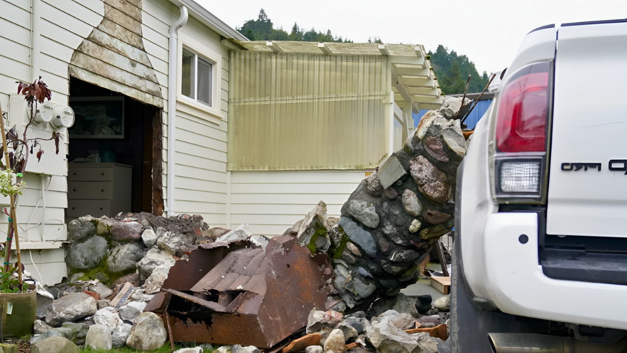
History shows the threat from lesser-known faults. The 1992 Landers quake, at 7.3, broke 50 miles of hidden faults with 20-foot shifts. The 1994 Northridge 6.7 on a blind thrust fault killed 57 people and caused $20 billion in damage. The 2019 Ridgecrest quakes renewed worries about the Eastern California Shear Zone. No major urban quake has struck since 1994, letting stress build up.
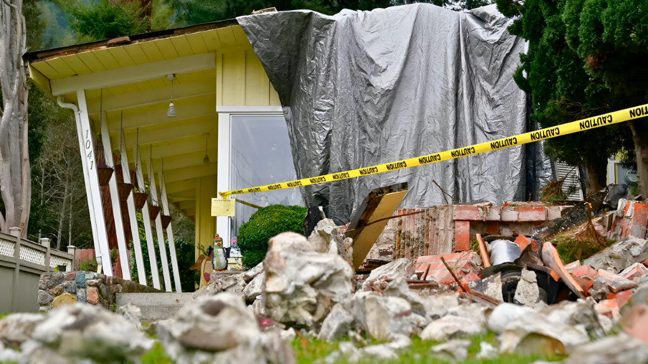
Near the Lassen Volcanic Center, quiet since 1914-1917, the quake sparked fears of an eruption. But scientists say most local shakes come from hot water activity, not rising magma. Tools like ShakeAlert and the MyShake app detect early warning waves, giving seconds to “drop, cover, and hold on” and avoid falling objects, which cause most injuries. Aftershocks remain a risk, possibly toppling weak buildings or sparking landslides in rainy Lassen County. Rural spots like Susanville, home to 30,000 people, struggle with slow emergency response and old infrastructure.
As 2025 ends, these shakes, from San Ramon swarms to the Susanville jolt, remind us of ongoing tectonic pressure in Walker Lane and beyond. Scientists study the data to improve fault maps and detection. While no one can predict quakes exactly, the signs are clear: big ones will come, and readiness must bridge city and country divides.
Sources:
United States Geological Survey, M 4.7 – 15 km NNW of Susanville CA, 2025-12-29.
KRCRTV.com, Susanville residents feel 4.7 magnitude earthquake, 2025-12-28.
Geovera.com, 4.7 Magnitude Earthquake Strikes Susanville CA, 2025-12-28.
Lassen News, Whole lotta shakin’ goin’ on, 2025-12-28.
Earthquakelist.org, Shallow M4.7 Earthquake struck on Sunday Afternoon near Susanville, 2025-12-28