A catastrophic earthquake along the Cascadia Subduction Zone threatens to upend life across the Pacific Northwest. Scientists warn that a magnitude 9.0 or greater event is not just possible—it is overdue. The region’s vulnerability spans from coastal Oregon and Washington to parts of California and Idaho, placing millions at risk of violent shaking, tsunamis, and long-term infrastructure collapse. Despite mounting evidence and expert warnings, the Pacific Northwest remains dangerously unprepared for a disaster of this scale.
Millions at Risk
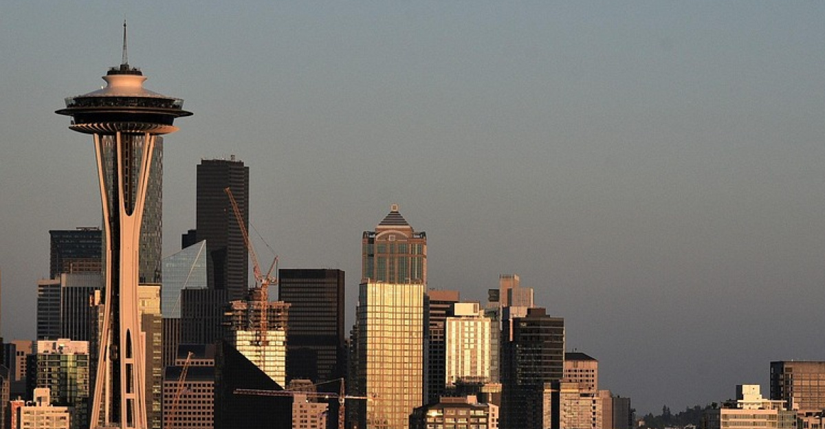
Seventeen million Americans reside above the Cascadia fault, with seven million concentrated in high-risk urban centers such as Seattle, Tacoma, Portland, Eugene, Salem, and Olympia. The region’s demographic profile intensifies the threat: nearly 20% of Oregon’s population is over 65, and some coastal counties have elderly populations exceeding 38%. Emergency planners acknowledge that evacuation for many seniors is unrealistic, especially in remote or isolated communities.
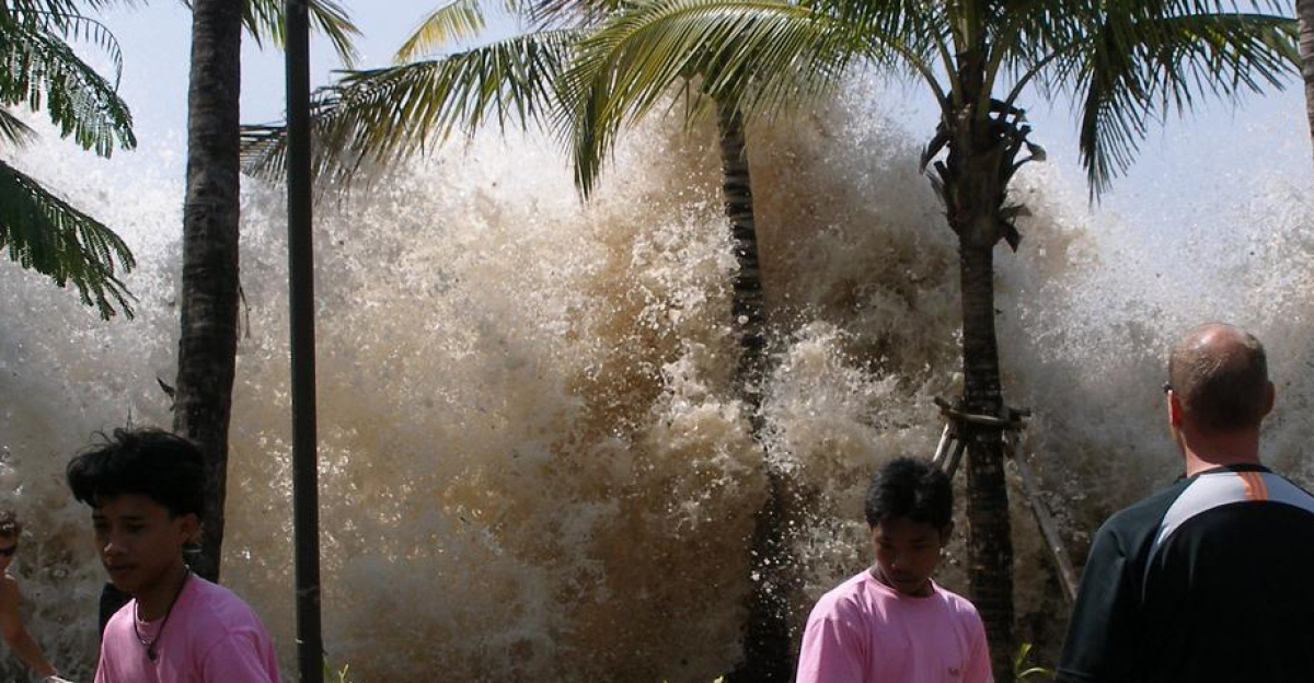
Children face their own hazards. Around 3,000 schools are projected to collapse or suffer severe damage in a major quake, with some campuses located directly in tsunami zones. The lack of viable evacuation routes for thousands of students underscores the vulnerability of younger populations. During peak summer weekends, Oregon’s beaches attract significant visitor populations, further swelling the number of people exposed to immediate danger. If a quake strikes at night, tsunami models predict casualties could reach high levels—well above daytime estimates.
Economic Devastation

The economic consequences of a Cascadia megathrust quake would ripple far beyond the initial destruction. Southern coastal areas could see production drop by 71% and employment fall by 81%. Even the Portland metropolitan area, more inland, faces a projected 32% loss in production and 24% decline in jobs. Businesses dependent on uninterrupted power and water—restaurants, hotels, and retail—would struggle to survive outages lasting months or years.
Supply chains serving 21.3 million people would collapse, leading to shortages of food, medicine, fuel, and other essentials. The breakdown would extend across transportation networks, ports, and pipelines, disrupting commerce and daily life nationwide. Portland’s six-mile Critical Energy Infrastructure (CEI) Hub, which stores 90% of Oregon’s liquid fuel, sits on land highly susceptible to liquefaction. Damage here would cripple emergency response and recovery efforts, magnifying the disaster’s impact.
The Geological Threat and Physical Impact
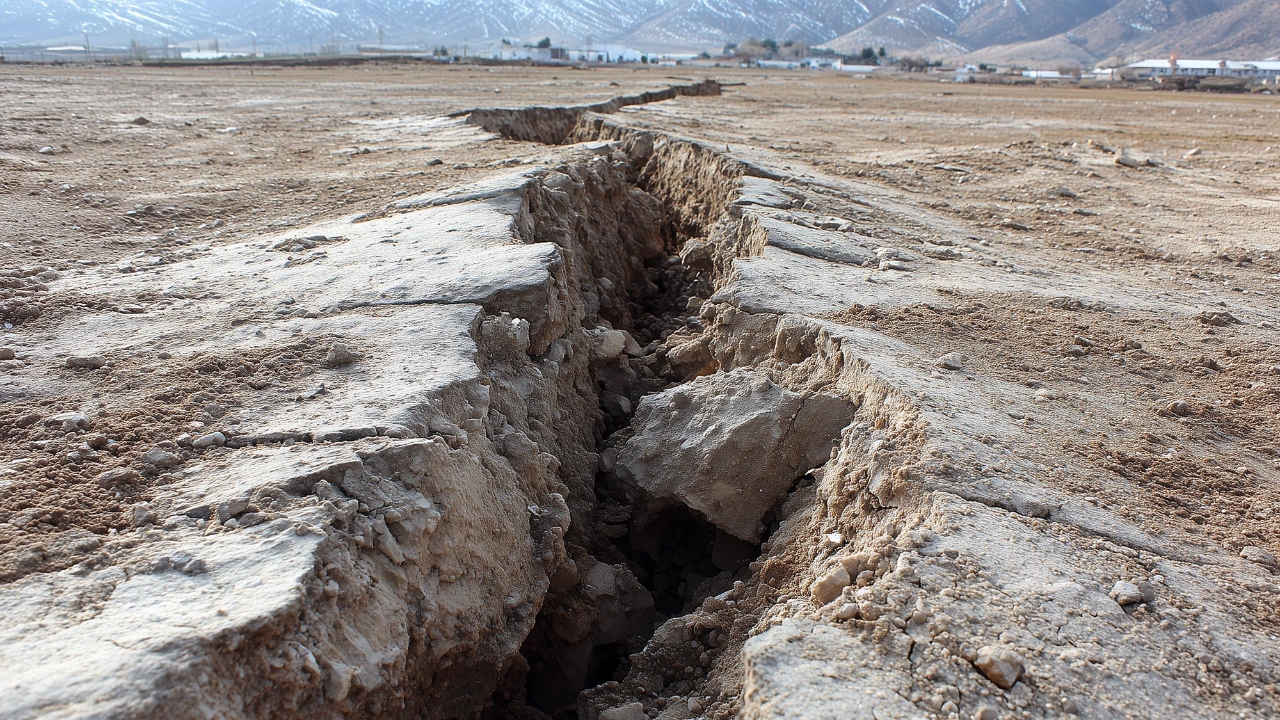
The Cascadia Subduction Zone stretches 600 to 700 miles from northern California to Vancouver Island. Here, the Juan de Fuca Plate slides beneath North America at a rate of 30 to 40 millimeters per year. After 325 years of accumulated strain, the fault is primed for rupture. When it breaks, land could shift three to six feet, unleashing energy far surpassing that of the San Andreas Fault.
Shaking from a magnitude 9.0 quake would last three to seven minutes, toppling approximately 620,000 buildings, half of highway bridges, and two-thirds of hospitals. Liquefaction—where solid ground turns to liquid—would trigger landslides and widespread structural failure. Within 15 minutes, tsunami waves up to 100 feet high could race inland at over 30 miles per hour, leaving coastal residents with little time to escape.
Cascading System Failures and Recovery Challenges
The disaster’s aftermath would be marked by cascading failures across critical systems. One-third of public safety workers may be unable or unwilling to respond. Hospitals could lose electricity for up to six months and water or sewer service for extended periods. Some coastal hospitals may never reopen. Portland’s CEI Hub faces the risk of catastrophic fuel spills, further hampering recovery.
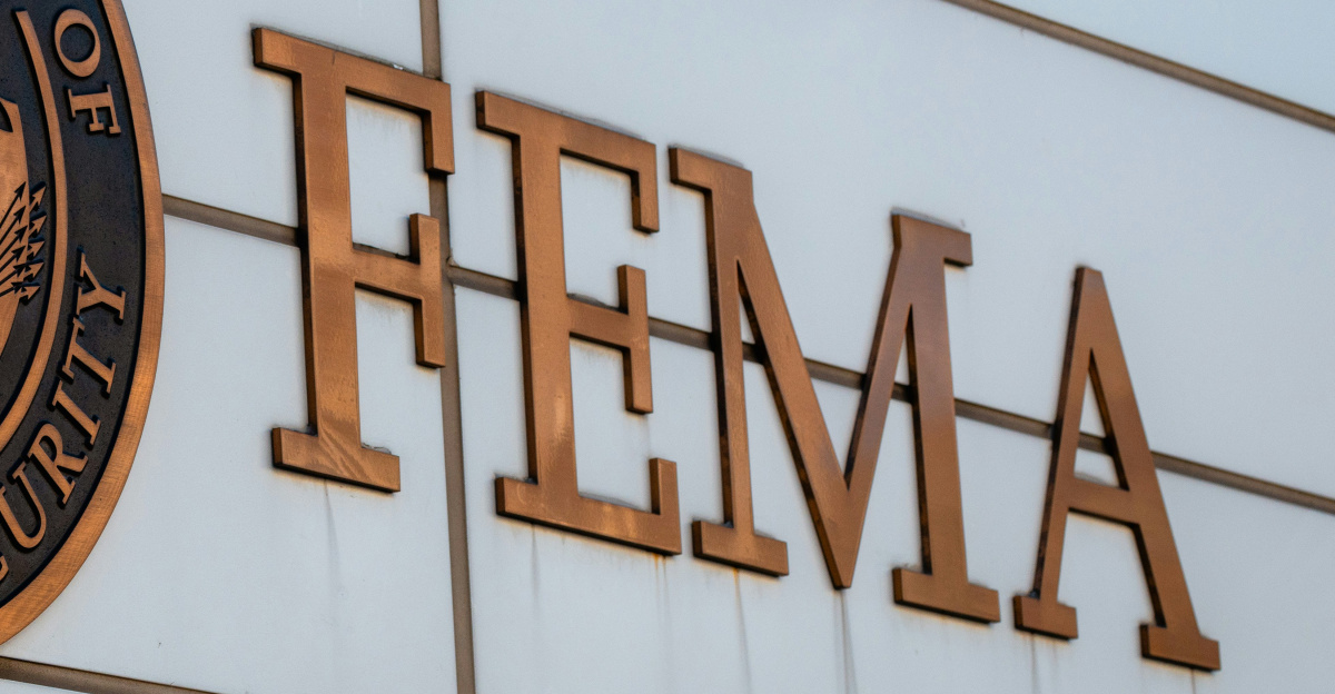
FEMA estimates direct damages at $220 billion, with total costs potentially reaching $300 to $500 billion. Economic paralysis would compound human suffering, with southern Oregon and Portland’s recovery lagging 10–30% below pre-quake levels for seven years. Infrastructure rebuilding and population resettlement could take more than a decade.
Historical Evidence and Scientific Certainty
The last Cascadia megathrust earthquake struck on January 26, 1700, with Japanese records confirming a tsunami 10 hours later. Geological evidence reveals 41 major events in the past 10,000 years, averaging a recurrence every 243 years. At 325 years since the last rupture, the region is statistically overdue. USGS models estimate a 10–15% chance of a magnitude 9.0+ event in the next 50 years, reinforcing the scientific consensus that a catastrophic quake is inevitable.
The threat is compounded by the possibility of simultaneous events on the San Andreas Fault, which could overwhelm emergency resources across California, Oregon, Washington, and British Columbia. Four states—California, Oregon, Washington, and Idaho—plus Vancouver Island, are in the direct impact zone. Government agencies, including FEMA, acknowledge their limited capacity to respond to a disaster of this magnitude. Without significant investment in preparedness and resilience, recovery will be measured not in months, but in years—if not decades.