Dark storm clouds build over California as bands of rain move toward land. Radar images show fast-moving storm areas lighting up screens. Weather experts warn that this winter weather system, already soaking roads and mountain routes, might create spinning thunderstorms. These could lead to short-lived tornadoes or waterspouts right during busy holiday travel times.
Forecasters track a steady four-day stretch of risky weather from Tuesday night to Friday. A strong low-pressure system in the Pacific Ocean south and west of San Francisco pulls in warm, moist air from the subtropics. At the same time, cold air from the Arctic rushes in above it. This clash creates unstable air and powerful wind shifts, key ingredients for storms that spin.
California sees about nine tornadoes each year, based on records from the National Oceanic and Atmospheric Administration (NOAA). Most strike during the cooler months in places like the Central Valley or near the coast. These twisters tend to be weak and brief, unlike longer ones in the Midwest. Even so, they pack enough force to flip cars, damage buildings, and hurt people, especially in crowded areas where warnings come with little time.
Recent Tornado Highlights the Risk
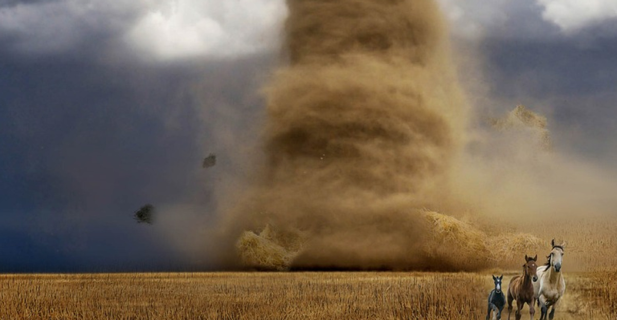
Just two weeks ago, on December 14, an EF1 tornado hit Scotts Valley in Santa Cruz County. Surveys by the National Weather Service found winds close to 90 miles per hour. The storm overturned vehicles, hit buildings hard, and injured several people. It formed inside a winter storm much like the one building offshore now, showing how normal Pacific weather can turn dangerous fast.
Key Danger Zones Emerge

The San Francisco Bay Area and Central Valley stand out as the main hotspots. The Storm Prediction Center has marked these spots for possible severe thunderstorms through Friday, with risks rated marginal or higher. San Francisco got an early marginal risk alert three days in advance, the first such notice for the city in more than 10 years. In the Central Valley, the biggest threats hit Wednesday afternoon and evening, when wind patterns line up with building storm energy.
Coastal areas face another worry: waterspouts. Cold air high up and strong showers increase the odds from Crescent City down to near Los Angeles, peaking late Christmas Eve into Christmas Day. Some of these spinning columns over water could move onshore and become brief tornadoes. They pose sudden risks to boats at sea, roads along the shore, and nearby towns with sharp wind blasts and heavy rain.
Travel and Safety Warnings for Holidays
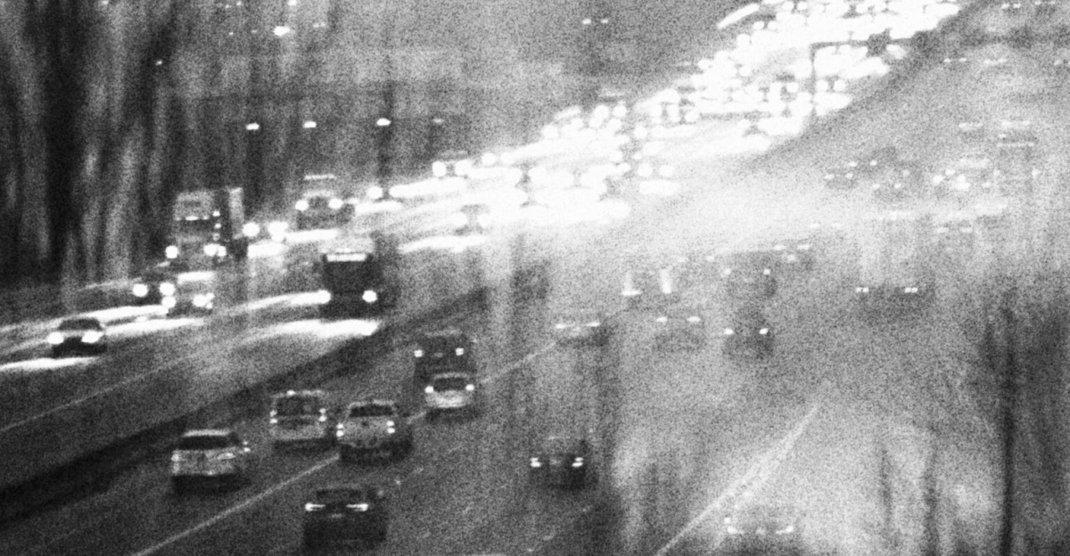
This storm hits at the worst time, as California’s 39.5 million people hit the roads for holiday trips. Heavy rain could flood streets and make driving slippery. Strong winds might knock down trees and cut power. Major routes like Interstate 5 and Highway 101 face extra dangers from quick tornado spins. Officials urge drivers to check forecasts often and build flexibility into plans, especially for night travel.
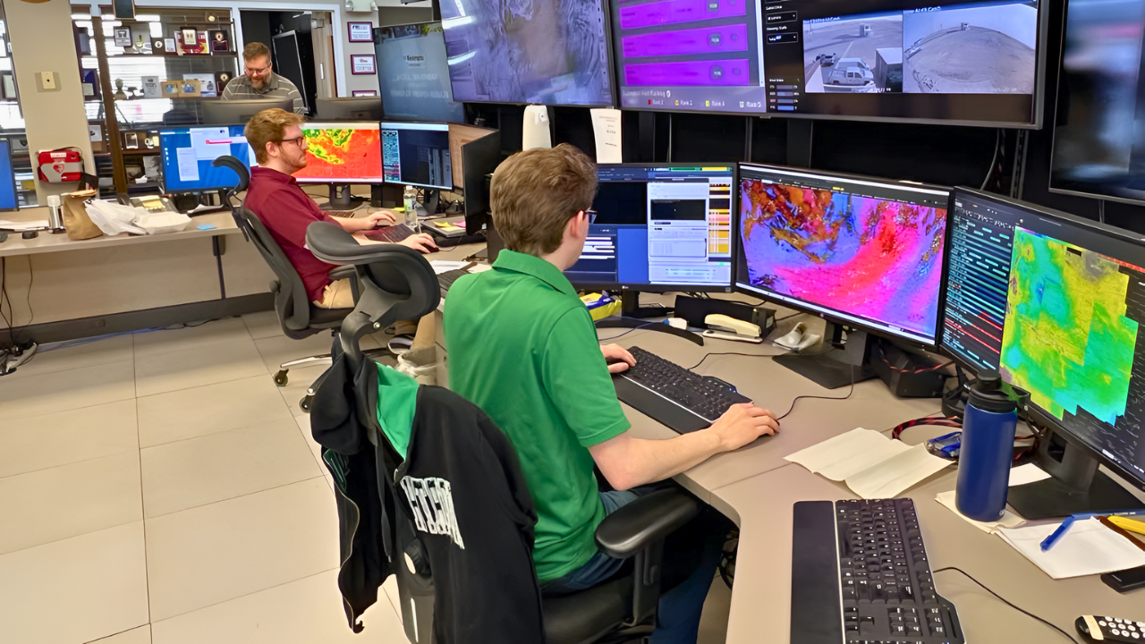
Emergency teams across the state use these long-range forecasts to prepare. They stock supplies, check shelters, and talk with power companies. Public alerts push people to sign up for Wireless Emergency Alerts and local warning systems. Tornado warnings often give just minutes of notice, so getting ready ahead of time lowers injury chances and helps response teams act faster.
Scientists keep a close eye on this event. It shows how Pacific storms can pick up features more common in the Midwest, thanks to subtropical moisture, strong winds, and cold air aloft. Teams plan to study radar data, satellite photos, and any damage to improve forecasts for West Coast tornadoes. A marginal risk does not guarantee a hit, many places might see only rain or wind gusts. Still, the repeated waves of storms demand attention.
This setup reminds everyone of California’s winter dangers beyond floods, high winds, and snow. Threats stretch from the North Coast to the south. As the weather shifts, smart preparation weighs slim tornado chances against broad disruptions. That approach promises safer holiday trips and better warnings down the road.
Sources:
“California storm raises rare threat: long-lasting tornado risk.” San Francisco Chronicle, Dec. 23, 2025.
“Flash flood, thunderstorm alerts in effect for California with heavy rain.” ABC News, Dec. 23, 2025.
“Scotts Valley Tornado December 14, 2024.” National Weather Service, April 16, 2025.
“Severe storm alert as the holidays arrive.” ABC News, Dec. 24, 2025