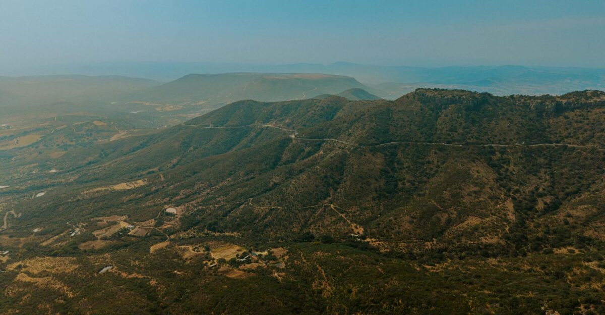
Something vast was hiding beneath Spain’s mountains all along—two supposedly separate caves that turned out to be one colossal underground labyrinth stretching 16.4 miles through the darkness. The Underground Exploration Group of the Excursionist Society of Málaga finally cracked the connection on September 26, 2024, after decades of patient mapping, revealing the Nevero-Aire supercave complex that rewrites the region’s underground geography.
What they found lurking in Sierra de las Nieves challenges everything researchers thought they knew about southern Spain’s karst systems.
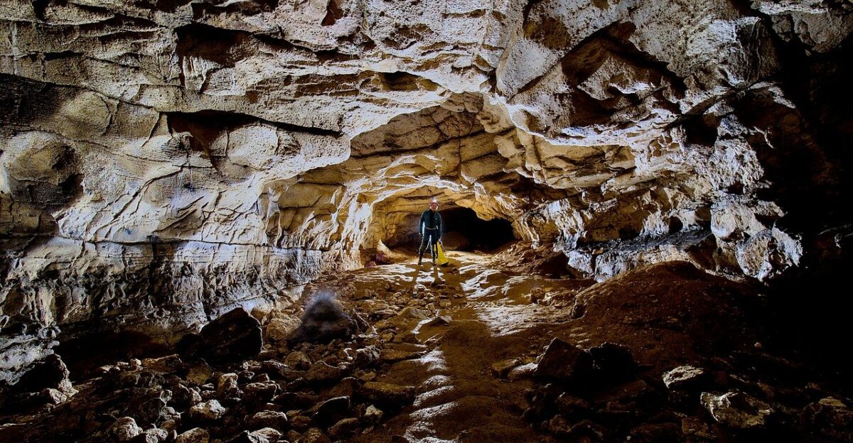
Sixteen Miles of Underground Passages
Imagine walking through 26.4 kilometers of pitch-black passages carved deep inside a mountain—longer than Manhattan Island’s 13.4 miles. That’s the scale of this newly confirmed network, the most extensive mapped cave system in Andalusia, incorporating a water cave that hints at an even more intricate story below.
The supercave drops, twists, and plunges through limestone rock in ways that took explorers decades to understand. If nearby passages connect as suspected, this system could balloon to roughly 31 miles total.
Survey Work Finally Reveals Hidden Junction
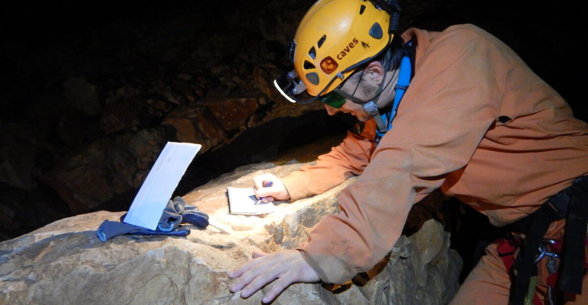
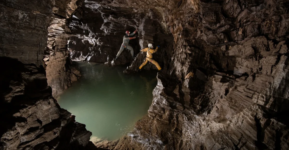
For years, two separate survey teams approached the same junction from opposite caves, never knowing how close they were. The Underground Exploration Group spent more than thirty years measuring angles and plotting profiles until their survey lines finally converged in a narrow zone nobody had noticed.
The breakthrough came when explorers turned attention to overlooked side routes and tight chimneys that earlier parties had dismissed as dead ends.
Three-Thousand-Foot Vertical Drop
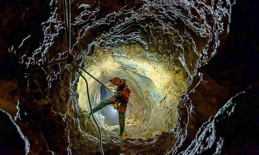
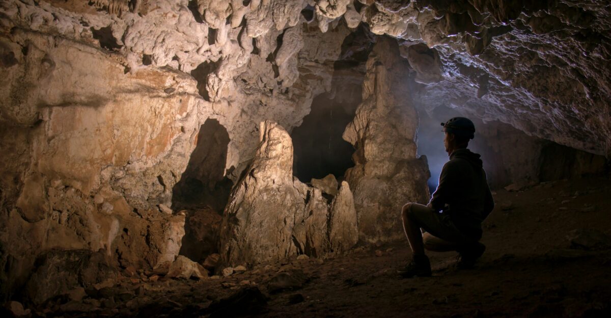
Picture descending 955 meters straight down through solid limestone—that’s the vertical relief this supercave demands, equivalent to roughly 3,133 feet of elevation change. At this depth through the limestone massif, it creates a complex three-dimensional maze where up and down lose meaning in the darkness.
Explorers navigate steep pitches, squeeze through narrow passages, and traverse massive chambers where their headlamps can’t reach the ceiling.
Small Mapping Errors Concealed the Connection
Tiny positional errors that accumulate over long survey chains kept the junction hidden, according to speleological research on cave mapping accuracy. Every survey shot carries length errors, compass errors, and station position inaccuracies that add up over miles of underground passages.
When two survey teams approached from different caves, those invisible errors kept them from recognizing they’d nearly reached the same spot.
Underground Exploration Group Led the Breakthrough Discovery
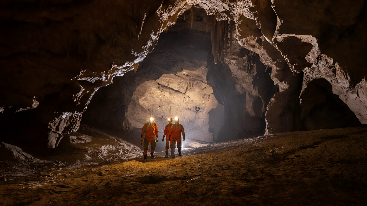
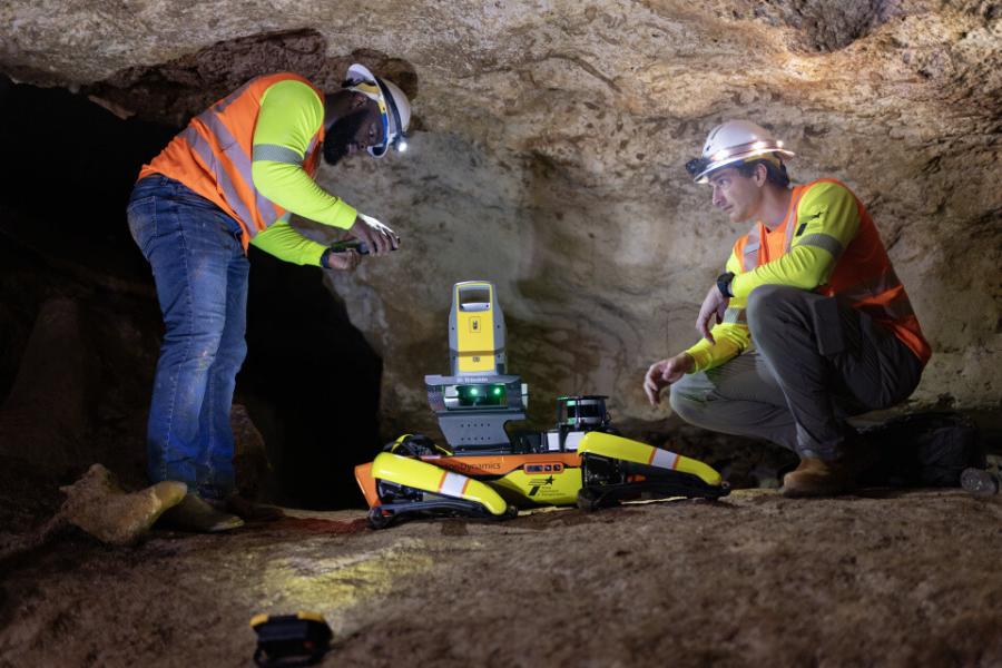
Behind this discovery lies a dedicated team of volunteer cavers from the Excursionist Society of Málaga’s underground exploration group, who donated decades of their lives to systematic cave mapping. These aren’t professional scientists with government funding—they’re trained volunteers who rappel into darkness on weekends, meticulously documenting complex karst systems.
Their approach involves repeated trips underground to extend survey lines, verify measurements, and piece together the three-dimensional puzzle beneath the surface.
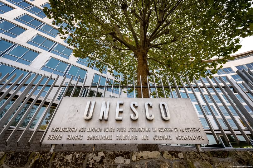
UNESCO Biosphere Reserve
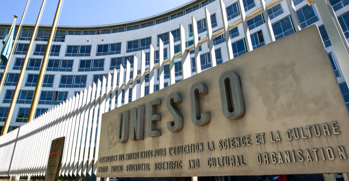
The Sierra de las Nieves landscape, where this supercave is located, holds UNESCO Biosphere Reserve status, underscoring the ecological significance of every step taken underground. UNESCO recognized the area in 1995 for its unique biodiversity and fragile karst habitats that took millennia to develop.
The protected status means visitors need prior authorization to enter certain cave zones, according to regional regulations designed to balance scientific exploration with conservation.
Thirty-One-Mile Network Could Still Be Lurking Underground
What if the 16.4 miles already mapped represent only half the story? Speleologists studying survey data suspect that the network might eventually reach approximately 50 kilometers—or 31 miles in total—if explorers can find connections through tight passages or flooded sections that have not yet been discovered.
Every new survey expedition brings that goal tantalizingly closer by extending known passages and checking potential junction zones where separate systems might secretly meet.
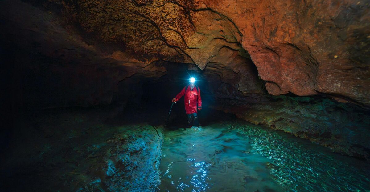
Clues About Mountain Drainage Systems
The supercave’s water cave component offers a rare glimpse into the mountain’s hidden hydrology, revealing how entire rivers disappear underground and reappear miles away. Scientists tracking water through limestone mountains can observe stormwater entering through surface sinkholes, flowing through the cave network’s passages, and finally emerging at lower-elevation springs.
The system operates as a natural laboratory where researchers study underground drainage patterns that remain invisible on the surface. Understanding these pathways reveals how the karst aquifer functions beneath Sierra de las Nieves.
How Stormwater Moves Through Limestone Rock
The discovery marks what researchers call a step change in underground science and hazard planning for Andalusia, according to reports on the find. Long cave networks reveal the hidden infrastructure that channels floods through solid rock during heavy rain. Karst aquifers develop when surface water containing carbonic acid gradually dissolves limestone, enlarging tiny fissures into conduits capable of carrying large volumes of water.
Those enlarged openings create progressive drainage systems with the power to reroute entire rivers underground. Mapping these pathways helps predict flood risks and protect communities.
Organisms Thrive In Total Darkness
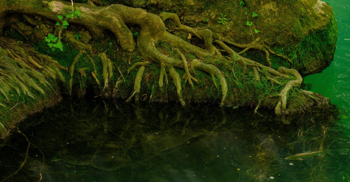
Deep in the supercave, where sunlight has never penetrated, a bizarre ecosystem thrives on the edge of survival. Troglobionts—organisms strictly bound to subterranean habitats—have evolved radical adaptations, including total loss of pigmentation and functional eyesight.
With no eyes to see, these creatures navigate eternal darkness using heightened senses of hearing, touch, and smell that border on the supernatural.
Cave-Adapted Creatures Survive On Scarce Nutrients
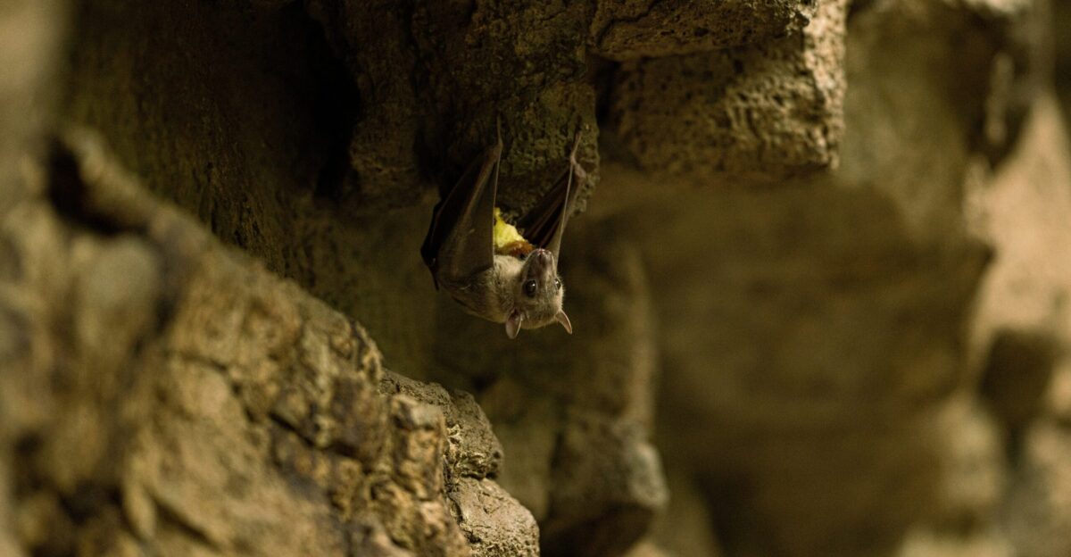
The underground food web operates on the thinnest of margins, according to cave ecology research. Bat guano provides the critical nutrient foundation—organic matter that fungi and bacteria slowly decompose into basic food sources. Tiny millipedes and cave crustaceans feed on those microorganisms, then become prey for larger cave beetles, spiders, and salamanders in a precarious chain where energy is desperately scarce.
The entire ecosystem depends on the organic material that is transported from the surface world above. One disturbance can ripple catastrophically through these fragile communities.
Earth’s Climate History
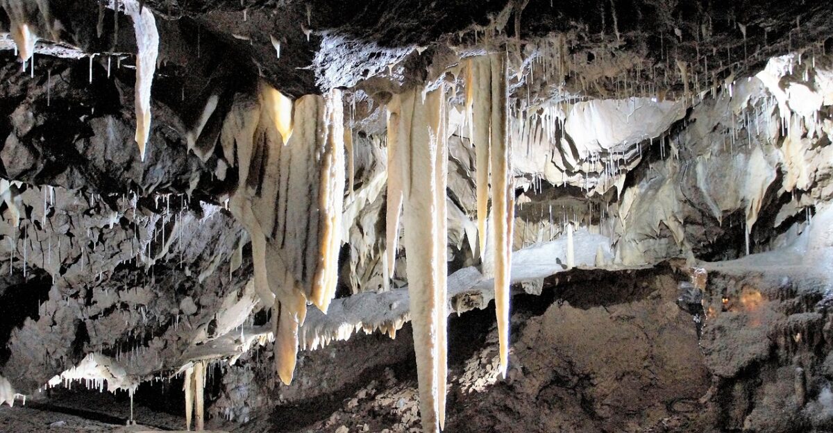
Hidden in the cave’s stalactites and stalagmites lies a secret archive of Earth’s climate history, encoded in mineral layers that took millennia to form. As mineral-rich water drips from cave ceilings, it deposits calcium carbonate in precise bands that capture the atmospheric conditions of each moment in time.
Scientists analyzing oxygen and hydrogen isotopes in those layers can reconstruct past temperature and precipitation patterns stretching back thousands of years.
Building Stalactites One Molecule At A Time
Every spectacular cave formation began with a single drip of water, according to speleothem research. The process unfolds with glacial slowness—typically just 0.13 millimeters of growth per year on average as mineral-rich groundwater enters cave air and releases carbon dioxide, causing calcium carbonate to precipitate.
Each droplet leaves behind a microscopic mineral ring, and millions of droplets over the course of decades build the structures that take a visitor’s breath away.
Cave Exploration Dangerous During Rain
All caves carry the threat of sudden flooding, and explorers must make life-or-death judgments based on weather forecasts and cave characteristics. Many cave systems transform into deadly traps during wet weather as stormwater surges through surface openings with terrifying speed.
Underground streams that seemed benign hours earlier can rise rapidly, creating powerful currents that rip equipment from divers and block all escape routes. Rainfall can cause water levels to surge within hours, trapping explorers in shrinking air pockets above roaring floods that offer no mercy.
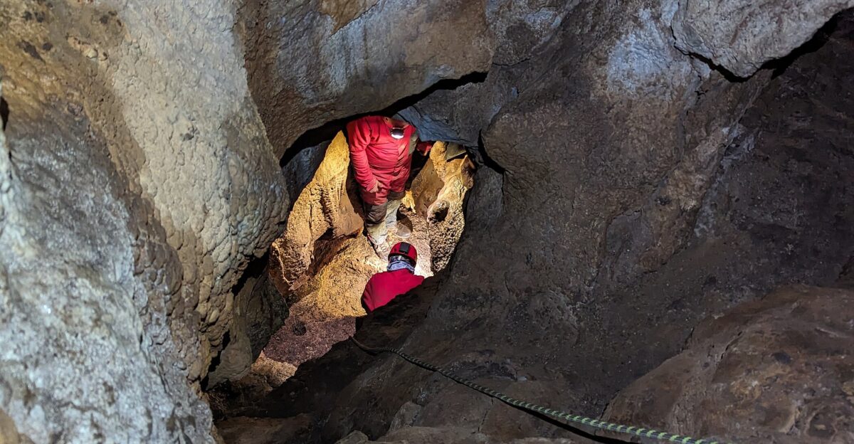
Rescue Operations In Deep Cave Systems
Cave rescues are slow, deliberate operations requiring extraordinary levels of organized teamwork and specialized equipment. The extreme cave environment creates challenges that don’t exist in any surface rescue scenario. Rescuers must navigate the same obstacles while carrying stretchers through passages barely wide enough for one person and hauling equipment up vertical pitches in complete darkness.
One 2021 UK operation in Brecon Beacons required nearly 300 volunteers working 54 hours to extract an injured caver.
Protected Underground Wilderness Areas
Visits to parks within UNESCO Biosphere Reserve zones require prior authorization, as per regional regulations documented in official bulletins. The permit system helps managers track visitor numbers and ensure that appropriate expertise levels are in place before allowing anyone underground.
These regulations reflect a hard-earned understanding that human presence can irreversibly damage fragile underground ecosystems.
Limiting Human Traffic Protects Delicate Formations From Damage
Protecting supercaves means severely limiting traffic, light, and noise to prevent ecosystem disruption that could destroy what took millennia to create. Even small disturbances ripple through food webs built on bat guano, microbes, and mineral-rich drips that operate on knife-edge energy budgets.
Cave communities depend on steady temperatures and scarce nutrients that any human activity can permanently alter.
Europe’s Deepest Vertical Shaft
The broader Sierra de las Nieves contains another underground monster: the GESM shaft, one of Europe’s deepest vertical caves with a depth exceeding 1,098 meters (3,602 feet). The shaft entrance is situated at a high elevation and descends through massive vertical drops, including sections with over 100 meters of uninterrupted darkness.
Underground lakes lie almost at the system’s bottom—subterranean bodies of water that have never seen daylight. The area’s complex limestone and peridotite geology creates ideal conditions for developing extreme karst features that attract speleologists worldwide.
Future Surveys May Reveal Even More
The breakthrough connection isn’t the end—it’s just the beginning of years of future exploration as teams continue pushing deeper into unexplored territory. Each expedition targets overlooked side passages, tight squeezes barely wide enough to crawl through, and potential connections to neighboring cave systems that might be hiding just beyond the next squeeze.
The 31-mile projection hinges on finding and navigating those links through passages that may be underwater or choked with debris. This breakthrough proves that major discoveries remain possible—you just need patience, precision, and decades of dedicated work from volunteers willing to map the darkness.