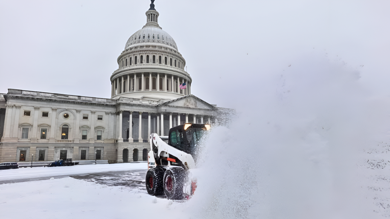
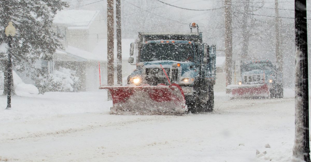
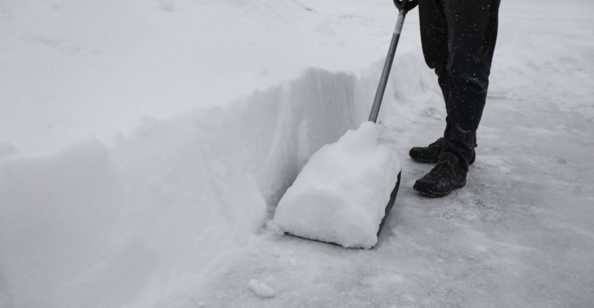
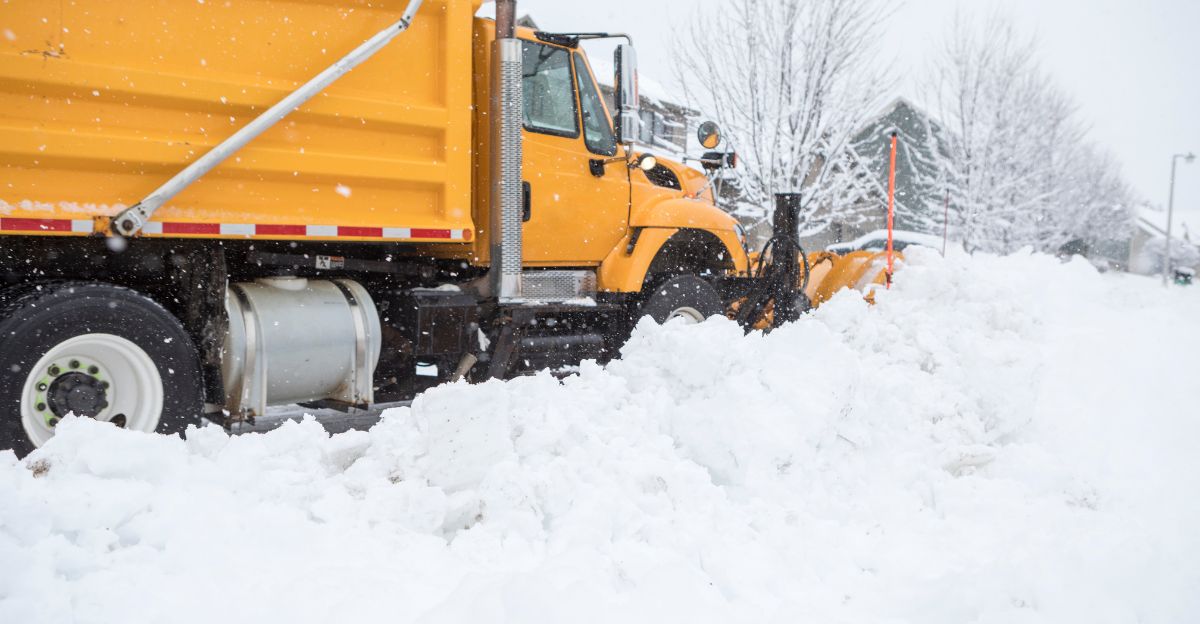
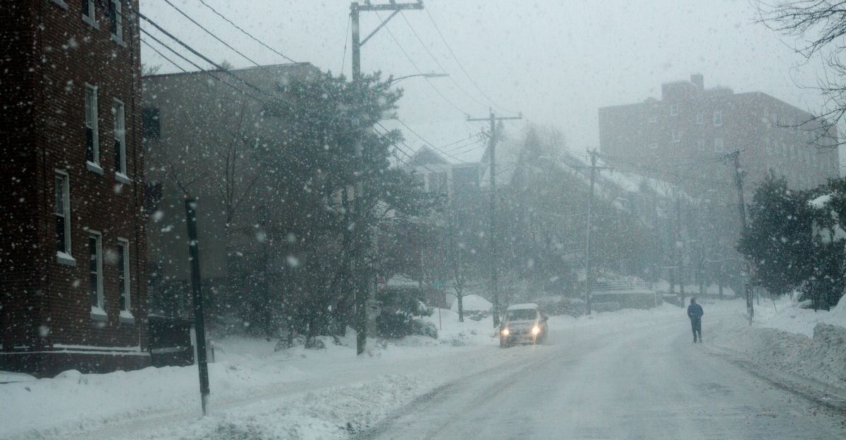
Snowpiles stretch across highways before sunrise, headlights pushing through swirling flakes as plows carve narrow lanes through the white-out. Streetlights reflect off fresh snow, turning intersections into dim, frosted tunnels. Wind drives loose powder across the pavement, erasing tracks moments after cars pass.
Millions across the West and Midwest begin their morning under winter weather alerts, confronting snow that arrived fast and unexpectedly. But forecasters warn this sudden blast is only the opening act of a much larger system still unfolding — raising the stakes for what comes next.
Atmospheric Setup: Arctic Air + Pacific Moisture Supercharge the Event
A deep intrusion of Arctic air into the central U.S. is driving temperatures sharply below average, with anomalies of 5–20 degrees below normal across large areas. This cold air mass is colliding with moisture streaming north, fueling widespread snowfall in populated regions.
The combination of cold and moisture sets the stage for rapid intensification. Conditions are further complicated by powerful wind energy at higher elevations, where gusts may reach 60 mph, greatly increasing winter storm hazards.
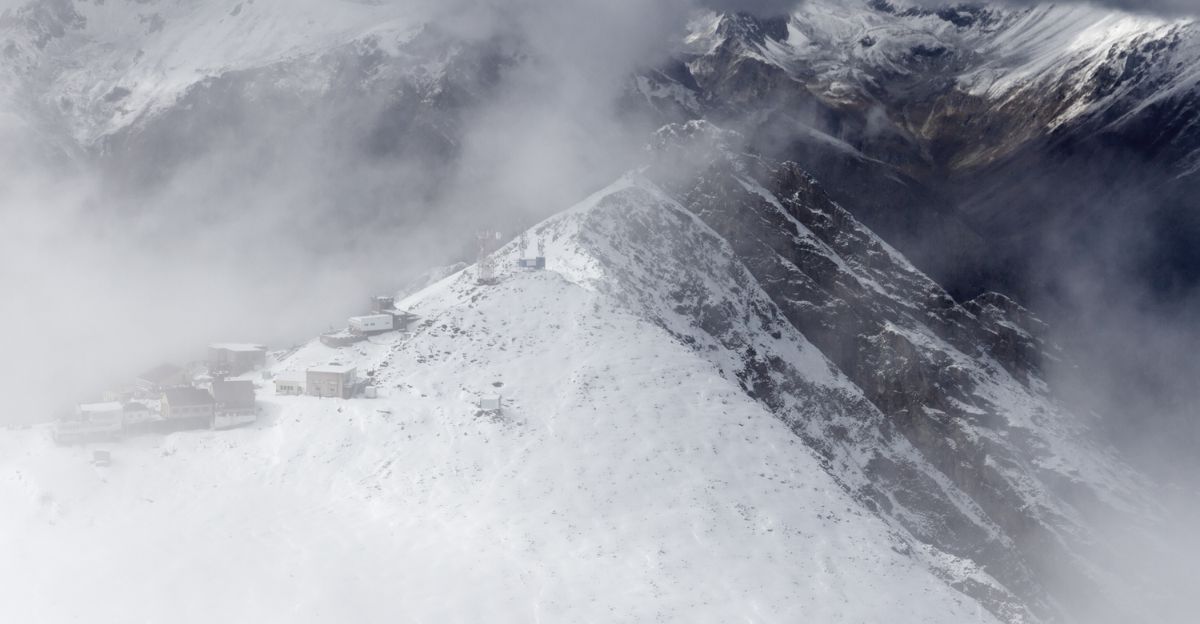
Snowfall Totals: Mountains Threatened With Up to 20 Inches
Mountain regions in Wyoming, Utah, Montana, and Colorado are forecast to receive 5–12 additional inches of snow, with localized totals reaching up to 20 inches. These zones are also facing the strongest winds, increasing the risk of whiteouts and avalanche danger.
Across the lower elevations, Iowa is expected to receive 6–8 inches, while parts of the Midwest—including Chicago—could see 2–5 inches. Snowfall duration and intensity vary, but roads may rapidly become hazardous across major corridors.
Temperatures Plunge: Single Digits and Below-Zero Readings Expected
Temperatures are forecast to crash through the weekend. On Saturday, much of the Rockies, Plains, and Midwest will run 5–20 degrees below average, signaling a fast transition from mild conditions earlier in the week.
Sunday is significantly colder, with the central Plains 10–25 degrees below average, and areas of Minnesota, the Dakotas, and Iowa falling into single digits and teens. Overnight lows may drop below zero in the northern Plains, creating a severe risk for anyone without adequate shelter.
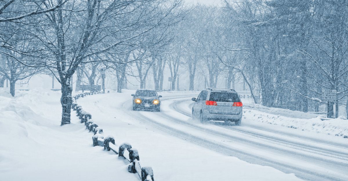
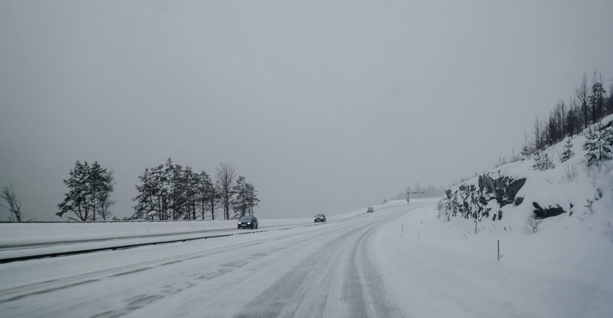
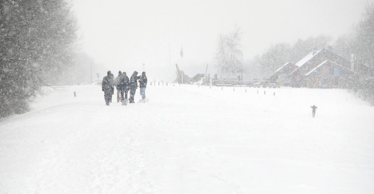
Travel Disruption: Rapid Snow Burst Threatens Midwest Corridors
Fast-moving snow bands may hit metropolitan areas overnight, complicating commutes and posing a risk to road safety. Even modest accumulations, combined with wind-driven snow, can produce slick roads and near-zero visibility, particularly in rural areas.
Drivers across the Dakotas, Minnesota, Iowa, Wisconsin, and Illinois should expect hazardous travel conditions. Aviation impacts are also likely, as typical winter storms across this region result in hundreds of flight delays or cancellations, with cascading effects on broader transport networks.
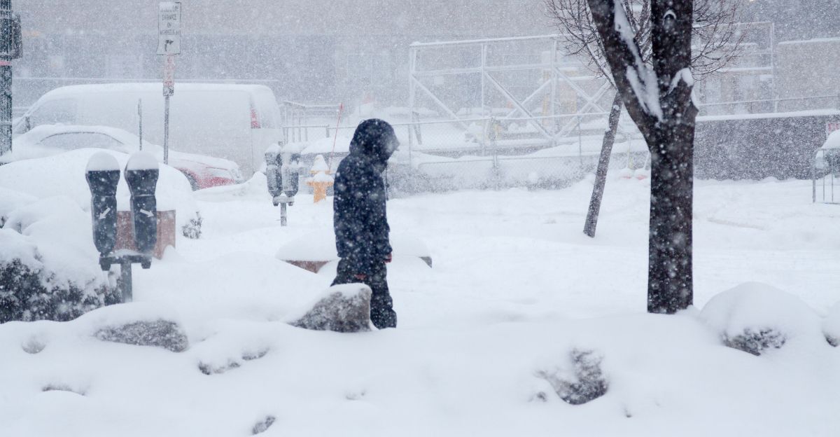
Human Exposure: Millions Face Bitter Cold and Icy Roads
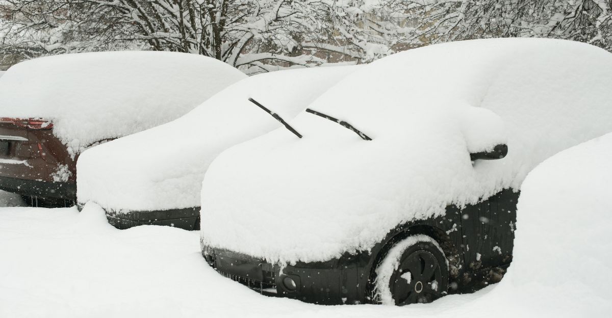
An estimated 235 million Americans—roughly 71% of the U.S. population—will be exposed to freezing temperatures, even if not directly under snow alerts. Fast-cycling cold fronts increase hypothermia risks, especially for elderly individuals, unhoused populations, and stranded motorists.
The combination of icy roads, limited visibility, and rapidly falling temperatures increases the likelihood of accidents and medical emergencies. Communities are urged to ensure access to heat, warm clothing, and emergency supplies throughout the weekend.
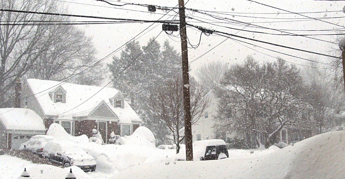
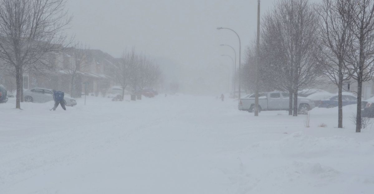
Iowa Braces for Heaviest Snow in the Midwest
A large swath of Iowa is projected to receive 6–8 inches of snow, covering most of the state and affecting 3–4 million residents. Snow arrival during peak activity hours could significantly disrupt weekend travel and agricultural operations.
Snowfall density will be high, increasing weight load on trees and power infrastructure. As winds increase Sunday, blowing and drifting snow could lead to hours of reduced visibility, particularly across open farmland and exposed interstates.
Chicago Metro: Millions Face Snow and Temperature Shock
The Chicago metro area, home to 2.7 million residents, is forecast to receive 2–5 inches of snow, preceded by rain and followed by plunging temperatures. This rapid shift heightens the risk of black ice and sudden loss of road traction.
Even a modest snow total can cause widespread disruptions in a dense urban system. Public transit delays, school absences, and sports and event cancellations are likely, especially if overnight snow hits ahead of the Monday morning commute.
Mountain Travel: ‘Very Difficult’ Conditions as Winds Hit 60 mph
In mountain areas, snow and wind gusts up to 60 mph will produce dangerous whiteouts and snow drifts. Accumulating snow and wind load could force road closures, isolating communities and trapping travelers at higher elevations.
Experts warn that weekend ski and recreation travel may become hazardous. Extended exposure to these conditions can rapidly induce frostbite, especially in windy environments where perceived temperatures drop far below freezing.
Pacific Northwest: Atmospheric River to Unleash Heavy Rain
While the interior West freezes, the Pacific Northwest is preparing for a prolonged atmospheric river bringing 2–6 inches of rain, with localized totals approaching 10 inches. The event begins Sunday night and may last through Friday, signaling a multi-day threat.
Snow levels above 6,000–7,500 feet will limit high-elevation snow but increase runoff into already saturated lowlands. Flood alerts are in effect due to the heightened risk of landslides, coastal flooding, and hazardous flash floods near burn scars.
Homes at Risk: Flood and Landslide Threats Intensify
In western Washington and Oregon, officials have issued extended flood watches for numerous communities, including Snohomish County rivers and streams, with historical atmospheric river impacts affecting tens of thousands of residents across the region. Heavily forested slopes and past wildfire areas are especially vulnerable.
Officials warn that prolonged rainfall increases the likelihood of slope instability. Infrastructure such as roads, bridges, and drainage systems could experience structural failures, especially after multiple days of water-loading.
Energy Demand Spike: Heating Systems Work Overtime
Temperatures across the Plains and Midwest will push heating demand significantly above normal, increasing strain on utilities. This can compound risk during snow and ice-related outages, leaving customers without both power and heat in subzero conditions.
Grid operators are monitoring transmission lines for ice load, which can cause sudden failures. Residents should prepare for potential interruptions and avoid using unsafe indoor heating methods, which can lead to carbon monoxide poisoning.
Schools and Work: Closures and Remote Options Expand
School closures are likely across snow-impacted regions, affecting millions of students. Remote learning options, normalized during pandemic years, remain a fallback as winter conditions recur earlier in the season.
Businesses across the Midwest may implement remote-work policies to maintain productivity. Streaming platforms often experience usage spikes during weather disruptions, reinforcing cultural adaptations tied to severe winter weather.
Economic Ripples: Markets React to Energy and Retail Shifts
Winter storms typically create winners and losers in the short-term economy. Energy markets benefit from increased heating demand, while retailers selling winter supplies see a sales bump. Conversely, restaurants, small shops, and entertainment venues often see weekend revenue collapse.
Flight cancellations and logistical delays can cost carriers millions in lost revenue. Regions experiencing frequent storms may face rising insurance premiums and infrastructure adaptation costs, pushing expenses onto consumers.
Early-Season Storm Raises Long-Term Resilience Questions
This early-December blast highlights both the fragility and adaptability of U.S. systems facing rapidly fluctuating winter hazards. Power grids, transportation networks, and local governments must respond faster than ever to shifting threats.
With more cold waves and snow events expected in coming weeks, officials warn that communities should prepare for repeated interruptions. The storm underscores the importance of investments in infrastructure, preparedness planning, and equitable access to emergency resources.
Sources:
National Weather Service Winter Storm Warnings and Winter Weather Alerts; NOAA Climate Prediction Center December 2025-February 2026 Winter Outlook
NOAA National Centers for Environmental Prediction; National Oceanic and Atmospheric Administration Polar Vortex and Arctic Air Mass Analysis
National Weather Service Regional Briefings and Winter Storm Documentation; Avalanche Forecasting Centers Data