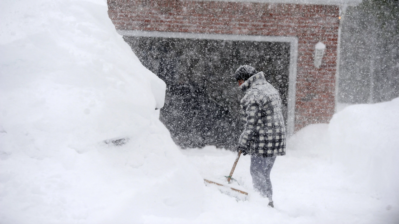
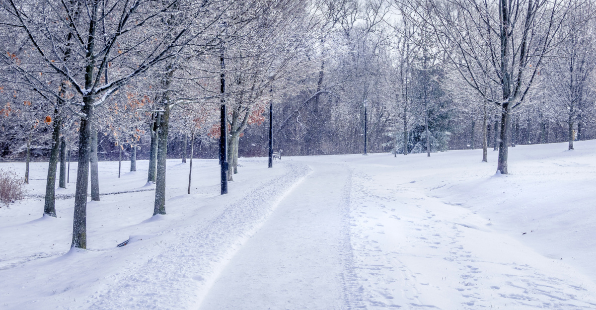
Over 200 million Americans braced for a historic cold as Arctic air swept south from Canada this week.
Temperatures dropped 10 to 25 degrees below normal from the Midwest to the Northeast, hitting roughly 13 states.
Entire cities are locked down. Airports issued storm warnings. Emergency managers are prepared for chaos. Most people didn’t understand what caused it.
Records Falling Fast
By December 4, records across America had been shattered. The National Weather Service counted 220 broken cold records in just seven days—an incredible pace.
LaGuardia, JFK, and Bridgeport airports hit their lowest temperatures ever recorded. Midwest cities experienced their coldest December 4 in decades.
The intensity wasn’t slow; it was brutal and sudden.
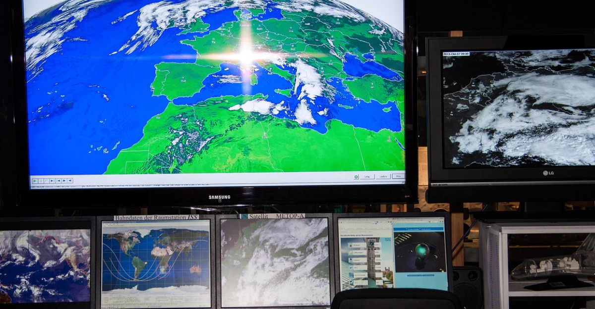
The Vortex Explained
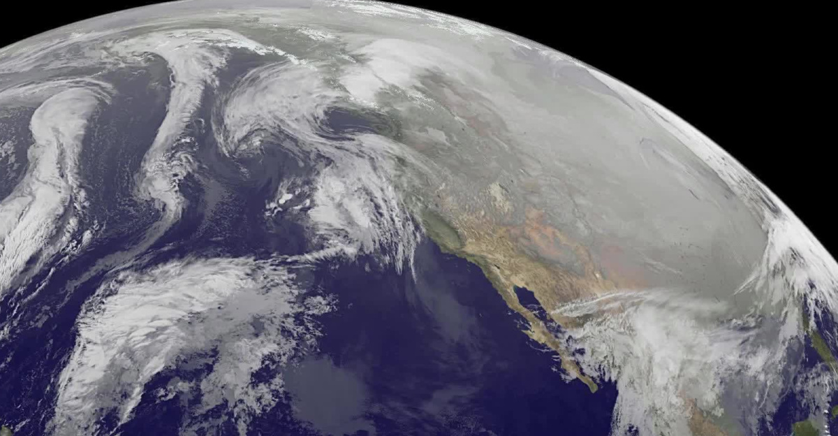
Few Americans thought about the stratosphere. But the cause sat 10 to 50 kilometres above the North Pole: the polar vortex.
This massive band of winds circles the Arctic during winter, trapping the coldest air on Earth. Autumn cooling and Earth’s rotation create these intense winds.
Normally, the vortex acts as a wall, keeping Arctic air locked in far to the north.
Disruption Pattern
The cold of early December came from “sudden stratospheric warming”—rapid heating high above Earth that weakens the vortex’s spin.
When this happens, the vortex stretches and splits. Cold air locked at the pole suddenly rushes south, pushed by the jet stream’s wavy pattern.
In early December 2024, this event began. The vortex weakened in late November and continued to weaken into early December.
MIT’s Warning
Judah Cohen, a climatologist at MIT’s Parsons Lab, tracked this pattern closely. In late November, he warned USA Today: “The cold in early December is an appetiser.
The main course comes mid-December.” His computer models claimed to be “the world’s best” seasonal forecast.
He predicted: “The worst extreme cold stretches from Canadian Plains to the U.S. East Coast in late December.”
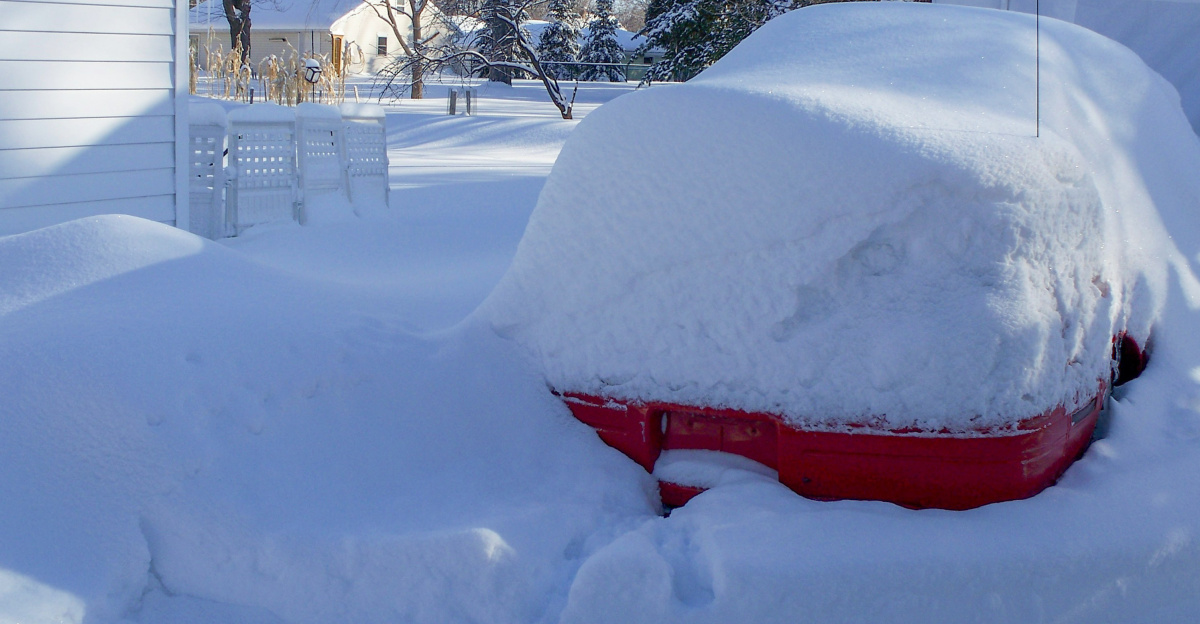
Great Lakes Buried
The Great Lakes became a focal point for heavy snowfall. Lake-effect snow forms when Arctic air crosses Michigan and Superior’s warm waters, creating intense precipitation.
The National Weather Service predicted 12 inches for Michigan’s Upper Peninsula. But actual totals far exceeded forecasts.
Lower Michigan got 2 to 3 feet. Areas downwind got 1 to 2 inches per hour. Schools closed. Roads became impossible.
Northeast Emergency
Pennsylvania and New York declared disaster emergencies as extreme Arctic conditions overwhelmed normal weather.
Erie County, Pennsylvania, received 24 to 30 inches of snow. Governor Josh Shapiro sent the National Guard to help stranded drivers.
Western New York accumulated 3 to 4 feet. The Pennsylvania State Police reported that accidents are rising rapidly. Whiteout conditions made visibility nearly zero.
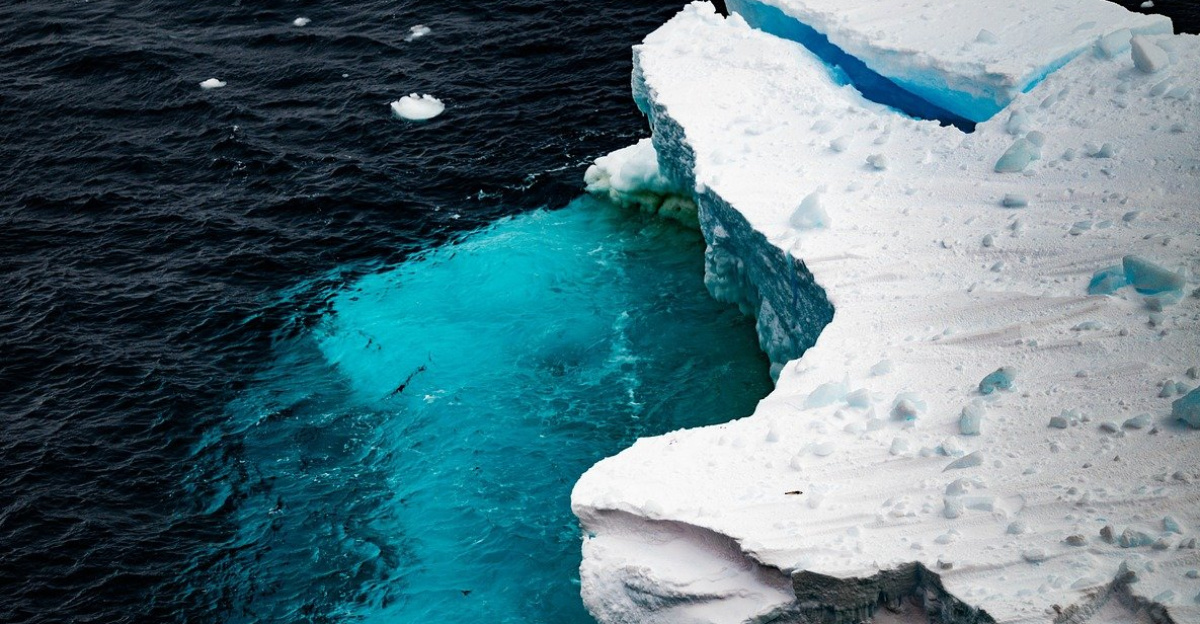
Climate Feedback Loop
This disruption arrived unusually early for such severity. Rutgers University professor Steven Decker said that global warming may increase the frequency and intensity of vortex disruptions.
“The polar vortex weakens because the planet warms unevenly,” Decker explained. “The pole warms faster, weakening the vortex and jet stream.”
Arctic amplification—the Arctic warming faster than other regions—reduces the temperature gap that normally contains the vortex.
Infrastructure at Risk
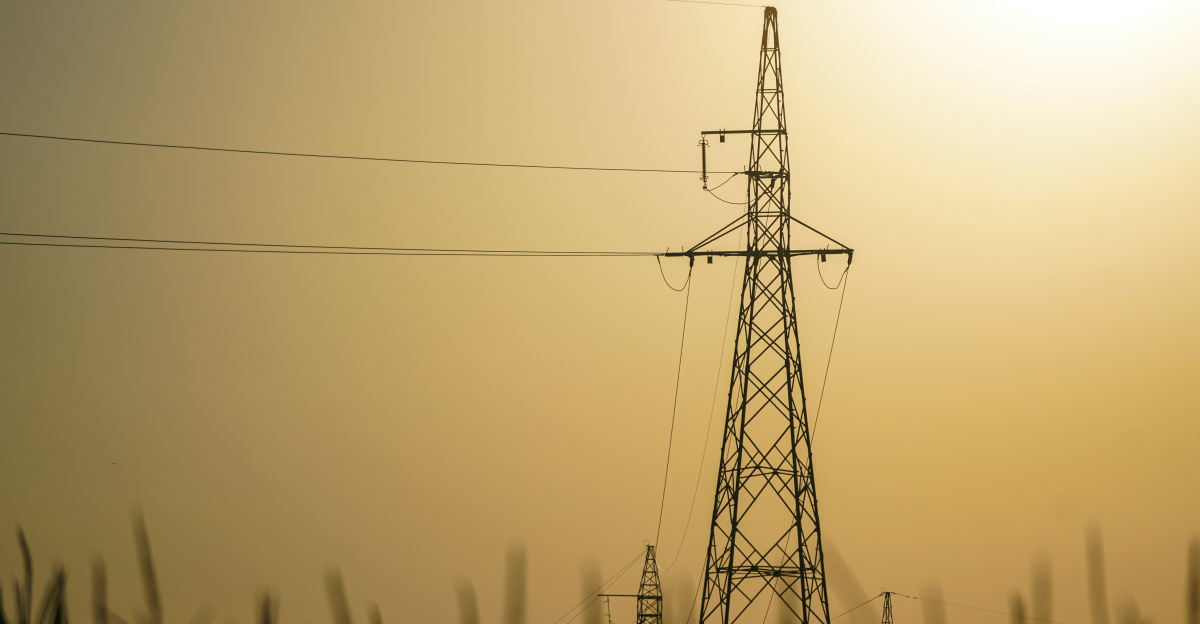
Extreme cold stresses modern infrastructure. Power grids fail when heating demand spikes, while cold breaks equipment.
NERC (North American Electric Reliability Corporation) warned that power plants and natural gas systems lack winterisation. Approximately 100,000 homes were at risk of potential power outages.
Heavy snow in Pennsylvania and New York, plus brutal Midwest cold, threatened energy supplies. Natural gas pipes freeze. Power plants shut down unexpectedly.
The Warming Paradox
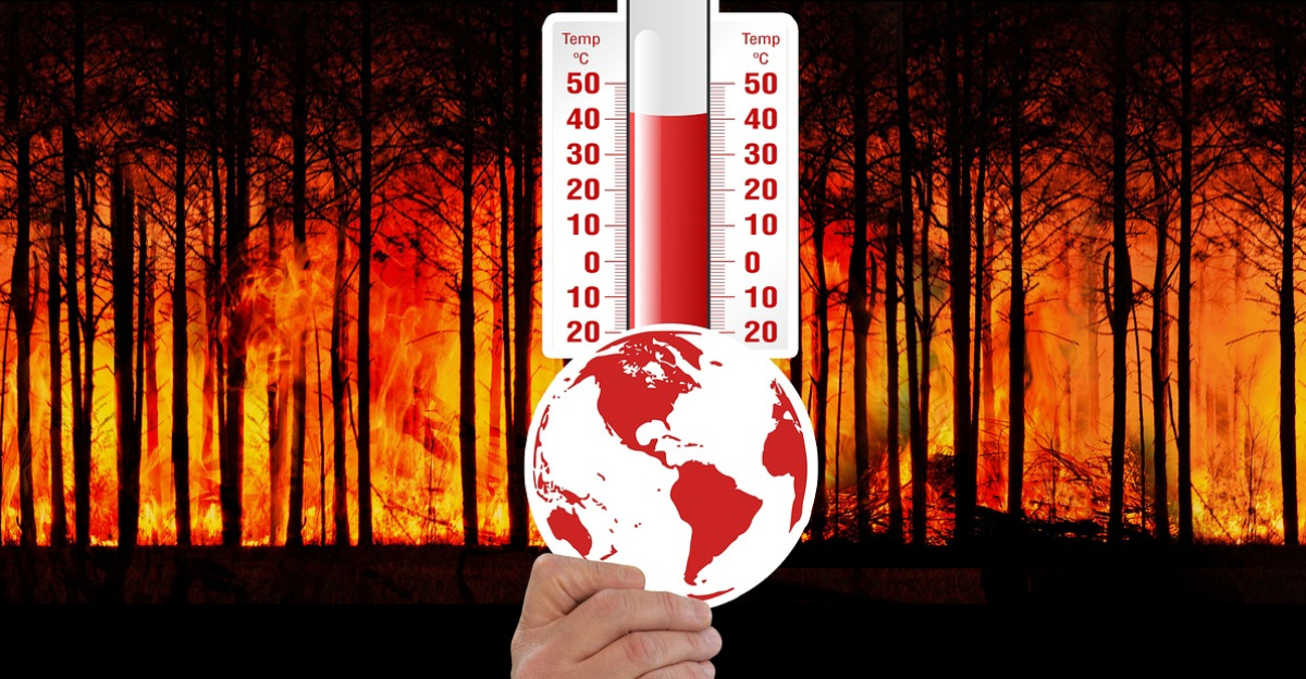
A stark contrast emerged: while the polar vortex sent historically cold air south, global temperatures hit record highs. NOAA predicted a 99.9% chance that 2025 ranks among the five warmest years on record.
The world warms about 1.4 degrees Celsius above pre-industrial levels, yet extreme winter cold still strikes regions.
Climate scientists predicted this outcome: a warming climate doesn’t eliminate cold; it reshuffles it and accelerates its movement into cities.
Forecast Uncertainty

Cohen himself doubted his own predictions. In late November, he tweeted: “I am conflicted about exactly what is happening with the polar vortex.” Prediction has limits.
The connection between the high-altitude vortex and ground-level jet stream remains poorly understood.
A “two-week lag” between warming events and surface weather creates uncertainty. Small atmospheric changes can lead to vastly different outcomes.
Science’s Blind Spots
Climate models disagree on the vortex’s future. Some predict that warming weakens the vortex, causing more disruptions.
Others predict that warming strengthens it, keeping cold air locked at the pole. The disagreement stems from competing processes. Arctic sea ice loss may boost or reduce vortex disruptions depending on location and timing.
Tropical warming may counteract Arctic effects. NOAA noted: “Every approach produced evidence both for and against connections.”
The December Wave
Cohen’s “appetiser and main course” comment suggested a worse cold ahead. His models showed the most intense cold spell peaking mid-to-late December, stretching from the Canadian Plains to the U.S. East Coast.
This second wave would be larger and longer than early December’s blast. Already-stressed infrastructure would face additional strain. Power companies had little time to recover. Natural gas supplies remained tight.
Skeptics vs. Forecasters
Not all experts agreed with Cohen. Some meteorologists noted that 3-week forecasts push the limits of prediction.
Ryan Maue, a Weather Trader meteorologist, warned: “The main polar vortex cold will stay locked in Canada for 7-10 more days.”
Academic research has shown that vortex disruptions occur roughly every other year in North America, but the timing and intensity remain difficult to predict.
Questions Unanswered

Americans faced one of the worst Arctic outbreaks in recent years, with many questions still unanswered.
Does the vortex truly release earlier because of climate change, or do natural Arctic cycles create this appearance? Will Cohen’s mid-December intensification occur, or will the vortex stabilise? How should society prepare if extreme cold and record heat both become common?
The early December disruption was compounded by incomplete science, prediction gaps, and a changing climate.
Sources
- Climate.gov
- NOAA Arctic Oscillation Indices
- The Conversation, 2024
- USA Today, November 27, 2025
- Weather Trader Substack
- The Cool Down, December 3, 2025