
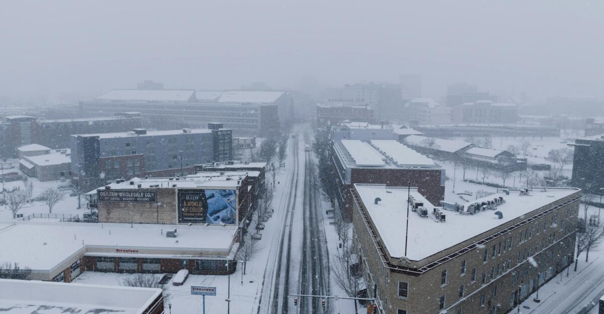
A narrow coastal storm is forecast to begin organizing just offshore as Arctic air locks in across the East. Forecast maps show snow bands potentially brushing major population centers from the Deep South to New England.
AccuWeather projects mostly light accumulation—coatings to 1 inch, with isolated Local StormMax™ totals near 3 inches. The storm’s exact track remains uncertain; even minor snow could snarl travel along I-95 where millions may wake to slick roads and delays by Sunday morning.
Millions Face Cold
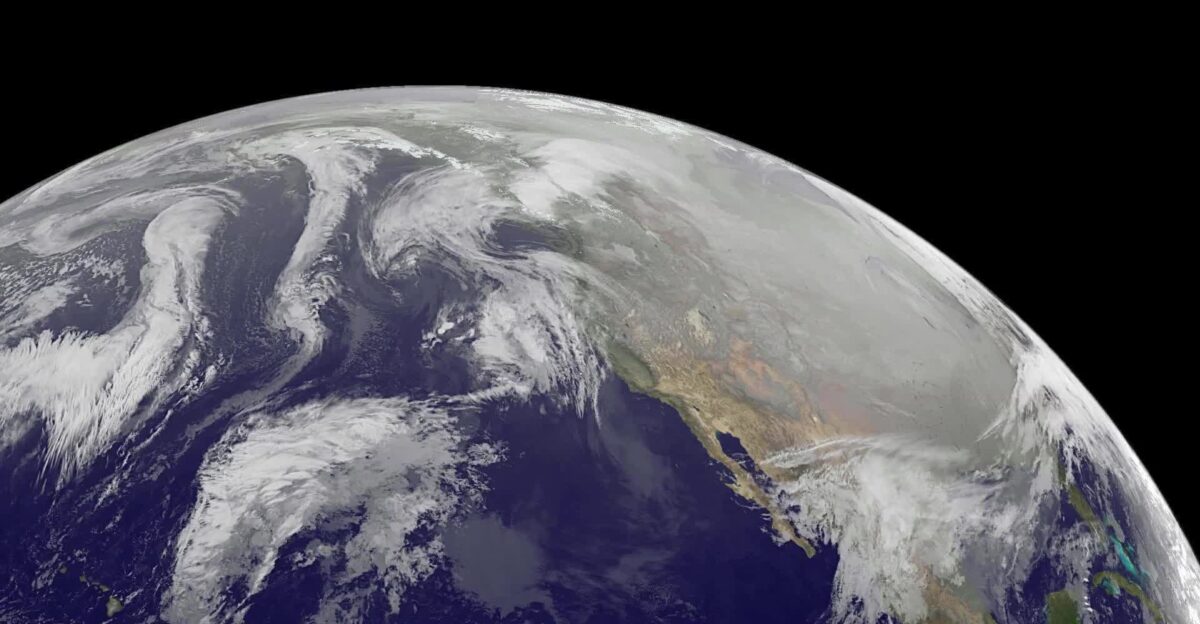
Tens of millions of Americans across the eastern United States are expected to experience sub-freezing temperatures as Arctic cold dominates the region. This weekend’s coastal storm raises travel concerns from the Southeast through New England.
The displaced polar vortex continues funneling cold southward, creating a rare setup where even small snow amounts could cause outsized impacts in cities unaccustomed to winter weather.
Polar Roots Emerge

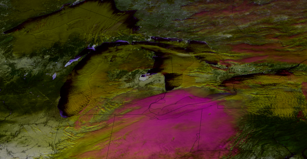
This pattern traces back to mid-January, when Arctic air surged south from the Great Lakes between January 12 and 13. A polar vortex centered near Hudson Bay helped drive land temperatures across portions of the Northern Hemisphere well below normal, according to Dr. Ryan Maue.
That sustained cold established a pipeline for repeated fronts, setting the stage for this weekend’s potential winter weather across the eastern U.S.
Stratospheric Disruption

A mid-January stratospheric warming event disrupted the polar vortex, deforming its structure and allowing cold air corridors to extend southward. According to Severe-Weather.eu, this upper-atmospheric disruption supports the persistent surface-level cold now gripping the eastern U.S.
ECMWF guidance shows the vortex remaining anchored over Hudson Bay, with repeated cold lobes reaching into the eastern United States, increasing the likelihood of winter weather through late January.
Regional Temperature Impacts

Highs have struggled to climb out of the 30s in parts of the Southeast, including Atlanta. Marginal temperatures near 34°F increase snow risk where precipitation develops.
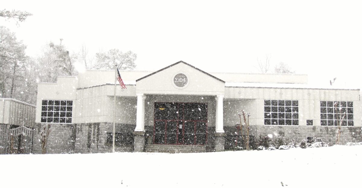
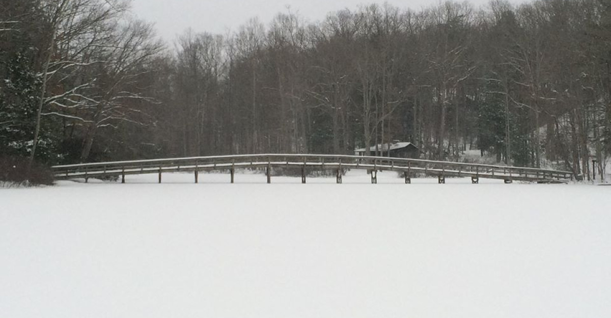
Cities across North Carolina may hover near freezing during snowfall, allowing slush on bridges and untreated surfaces. These marginal conditions mean that even light accumulation could create travel hazards.
Deep South Snow Potential

Southern Alabama and Georgia could see snow late Saturday night into Sunday, with the Florida Panhandle also at risk for flakes. However, most forecast models suggest limited or no accumulation in these areas.
AccuWeather meteorologist Alex DaSilva cautions that temperatures may initially be too warm for accumulation, with colder air arriving as the storm pulls away. The exact timing and placement will determine whether the Southeast sees measurable snow or merely a transition period with limited impacts.
Snow Forecast Track Critical
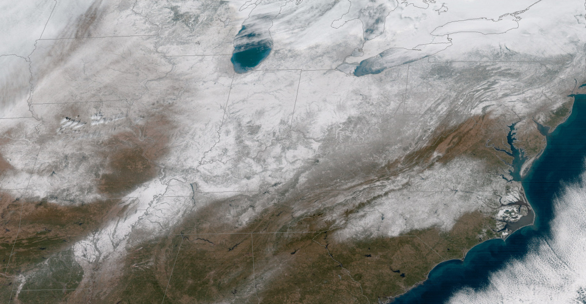
AccuWeather meteorologists indicate a coastal winter storm could spread snow from parts of Alabama and Georgia through the Carolinas, Virginia, and northward into New England from Sunday into early Monday.
However, the system is expected to remain just far enough offshore to limit heavier snow in the Southeast. The storm’s track uncertainty means outcomes could range from minimal accumulation to measurable snow depending on how close the system approaches the coast.
Southeast Infrastructure Constraints
Many Southeast communities lack the snowplows and road treatment resources common in Northern states. As a result, hazardous conditions can linger longer even after light snowfall.
This infrastructure gap means that even modest snow amounts could expose preparedness gaps and amplify travel disruptions across the region.
I-95 Corridor at Risk
If accumulating snow reaches I-95 from Virginia into the Northeast, delays could multiply quickly. Major Northeast cities, highways, local streets, and major airports could face travel disruptions early next week.
Though the storm’s offshore track may limit impacts, Interstate 95 remains especially vulnerable due to the concentration of population centers and heavy traffic volumes in this corridor.
Northeast Expectations
As the storm moves north Sunday night into Monday, parts of the Mid-Atlantic and Northeast may see snow depending on system proximity to the coast. AccuWeather identifies Cape Cod, Massachusetts, and Nova Scotia as the most likely areas to receive a few inches.
The storm’s relatively quick movement should limit totals, preventing a major weather event despite potential localized disruptions.
Vortex Pattern Persistence

Dr. Ryan Maue notes that the polar vortex pattern remains persistent through late January, keeping cold air locked over the eastern U.S. Its elongated shape disperses Arctic air across a wide region, supporting multiple winter systems.
Heavy lake-effect snow has already produced 6–12 inches near the Great Lakes, demonstrating the pattern’s strength.
Model Uncertainty Remains High

Meteorologists repeatedly stress that forecast confidence remains limited. While cold air is firmly established, the storm’s precise coastal track will determine snowfall coverage and amounts.
Some weather models suggest minimal effects or keep the system completely offshore, while others indicate broader snow coverage. Small track shifts could mean the difference between little impact and measurable accumulation.
Southeast Preparations Underway
Emergency managers across Alabama, Georgia, and the Carolinas are monitoring forecasts and preparing available resources. States are positioning salt trucks and advising residents to remain flexible with weekend travel plans.
Officials urge drivers to monitor forecast updates closely as the event approaches.
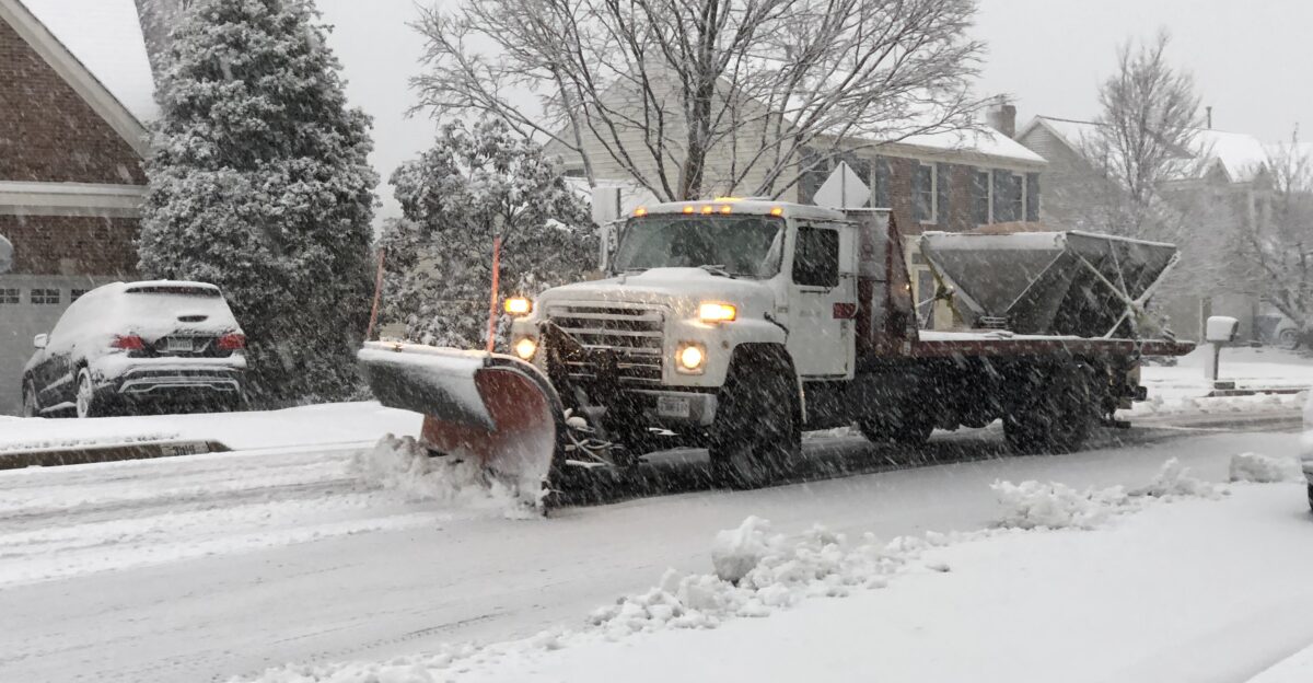
Northeast Readiness
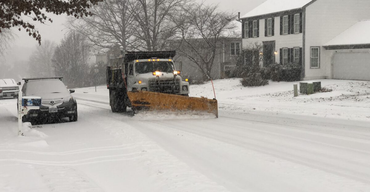
In the Northeast, snowplows and treatment equipment are positioned and ready should winter weather develop. Road departments have begun assessing potential impacts based on latest model guidance.
The region is well-equipped to respond quickly if significant accumulation occurs, though the coastal nature of this system may limit widespread heavy snow.
Marginal Temperature Concerns

The primary concern across affected regions remains marginal temperatures hovering near freezing. These conditions allow snow and slush to linger longer, particularly on untreated roads, bridges, and overpasses.
Refreezing overnight could extend hazards into Monday morning across multiple states even if Sunday precipitation is light.
Lake-Effect Snow Activity
Lake-effect snow bands near the Great Lakes have already produced significant accumulation in recent days, with 6–12 inches reported in localized lake-effect zones.
This demonstrates the potency of the current atmospheric setup and the broader winter pattern now established across the continent.
Global Pattern Context

Similar stratospheric disruptions are affecting Europe, illustrating the global reach of the current polar vortex pattern. The hemispheric nature of this disturbance suggests persistent winter conditions through late January and possibly early February.
ECMWF ensemble guidance shows continued northerly flow across the eastern U.S., supporting additional storm system development.
Cold Outlook Through February

Beyond this weekend, the polar vortex pattern is expected to sustain cold conditions into late January and possibly early February. This setup allows additional storm systems to develop as the pattern persists.
Forecasters emphasize the need for continued preparedness and monitoring as the broader winter season remains active.
Regional Storm Impact Variability

This coastal storm highlights how rare Southern snow and more typical Northeast winter weather can coexist within the same system. The Southeast’s limited snow history creates disproportionate impacts from even light accumulation.
Meanwhile, the Northeast possesses robust infrastructure for typical winter events. Understanding these regional differences is key to assessing true impact potential.
Forecast Evolution Ahead

Meteorologists urge residents to stay alert to forecast updates as new model guidance emerges through Friday and into the weekend. Confidence in specific impacts will improve as the event approaches.
Winter is firmly in control of the eastern U.S. pattern, and this coastal storm represents just one of several potential systems in a prolonged active period through late January.
Sources:
AccuWeather | Weekend storm to bring snow to part of East Coast including the Carolinas and Virginia | January 15, 2026
Severe-Weather eu | Polar Vortex 2026 Update: New Stratospheric Warming Event Confirmed | January 11, 2026
Dr. Ryan Maue, Weather Trader | January 15, 2026 Thursday Winter Weather | January 15, 2026
USA Today | Snow in Florida? Arctic blast to stun the South | January 15, 2026
Fox Weather | Feet of lake-effect snow possible in Michigan as more cold air arrives | January 14, 2026
DTN Progressive Farmer | Freezing Temperatures and Snow Targeting the Southeast This Weekend | January 14, 2026