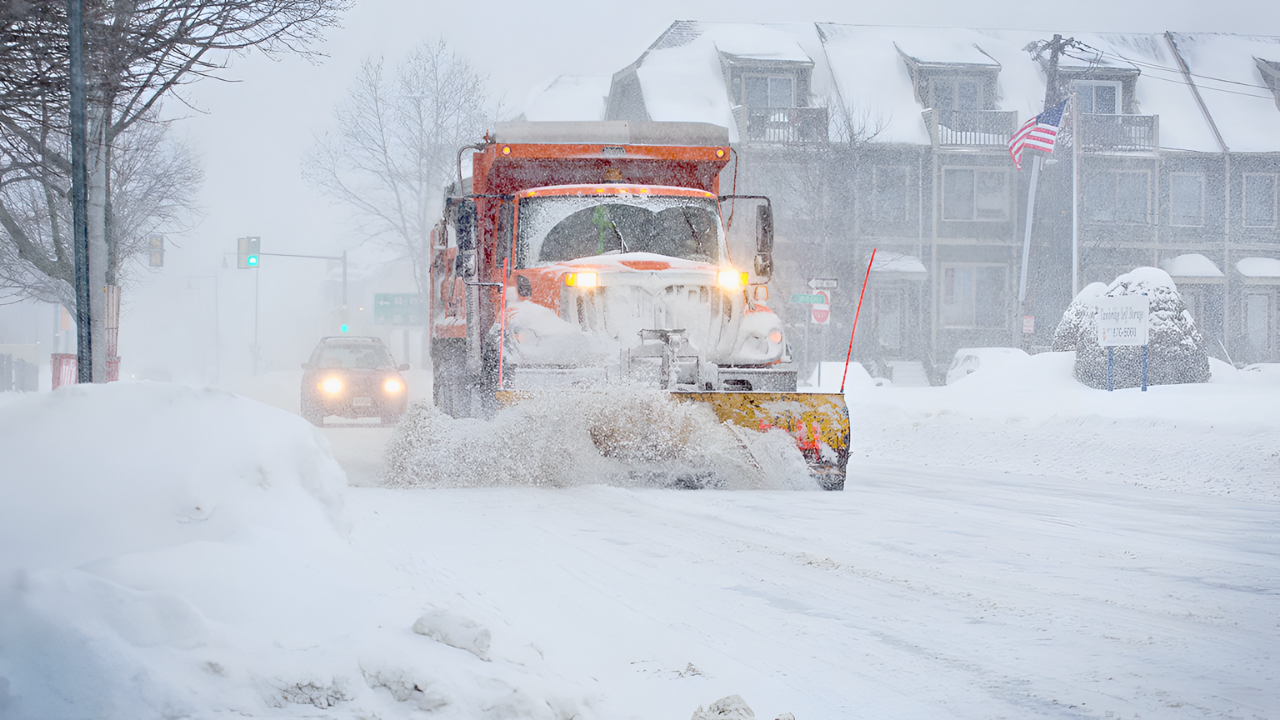
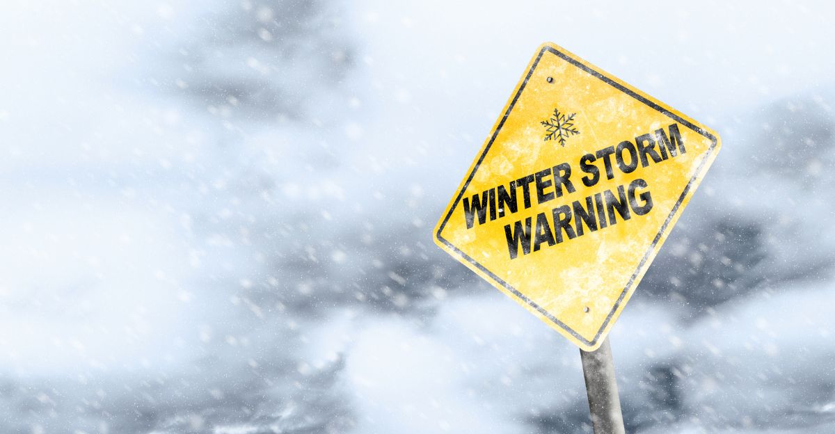
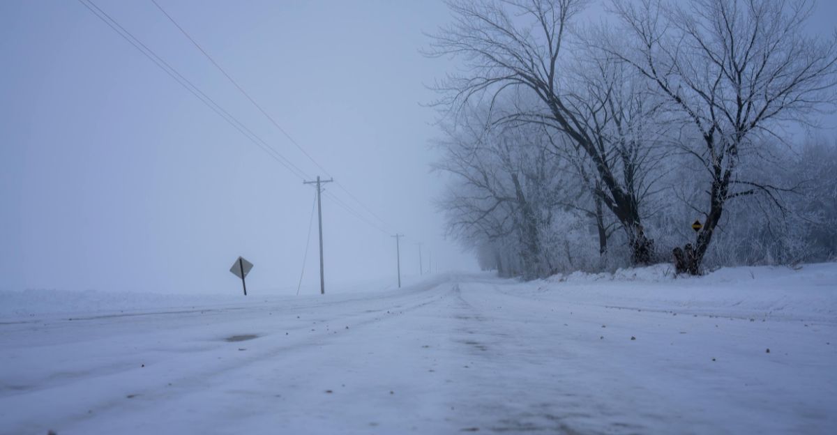
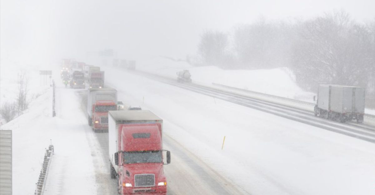
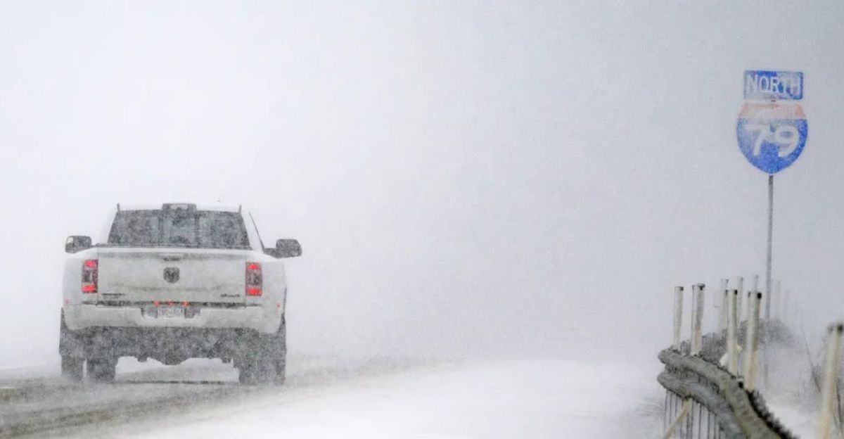
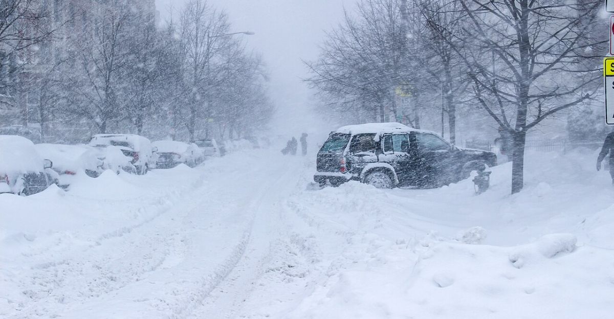
A sprawling winter storm has placed roughly 105 million Americans under freeze alerts as dangerous conditions spread across 11 states. The National Weather Service warns of heavy snow, powerful winds, and near-zero visibility during peak travel periods.
Forecasts show snowfall totals reaching double digits in key regions, with gusts strong enough to cause blowing and drifting snow. Officials stress that conditions may quickly become life-threatening for anyone caught on the roads.
Scope of the Warnings
Winter storm warnings and advisories stretch across the Midwest, Great Lakes, Appalachians, and Alaska. Affected states include Alaska, Michigan, Indiana, Illinois, Maryland, Minnesota, New York, Ohio, Pennsylvania, Tennessee, and West Virginia.
While snowfall amounts vary by region, every area faces hazardous travel conditions. The NWS emphasizes that even moderate snow combined with strong winds can create blizzard-like conditions capable of shutting down highways.
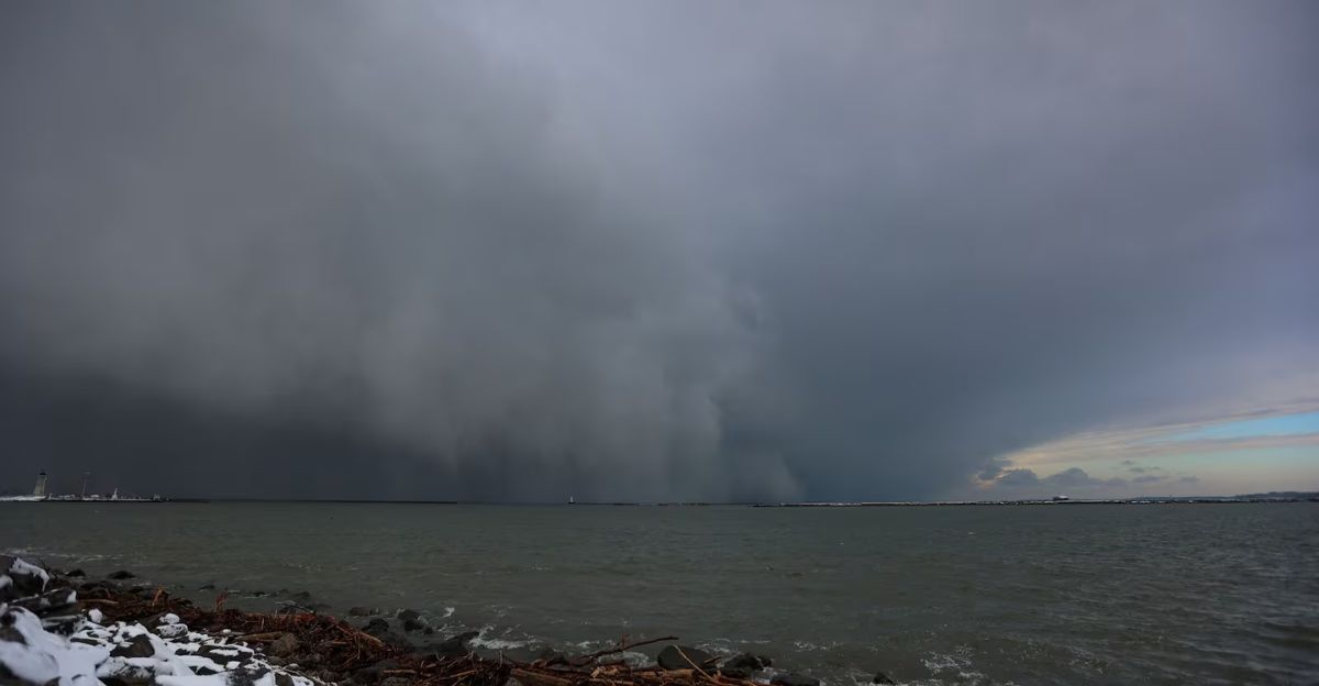
Why This Storm Is So Dangerous
This system combines Arctic air, strong pressure gradients, and abundant moisture, creating ideal conditions for heavy snow and intense wind. In several regions, gusts exceed 35 to 40 mph, producing widespread blowing snow.
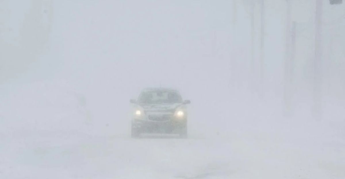
Visibility may drop to near zero in heavier bands. These factors dramatically increase the risk of stranded motorists, delayed emergency response, and prolonged road closures, especially overnight.
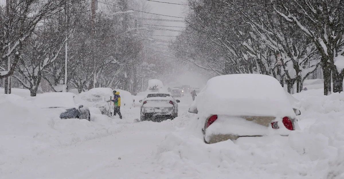
Midwest Under Siege
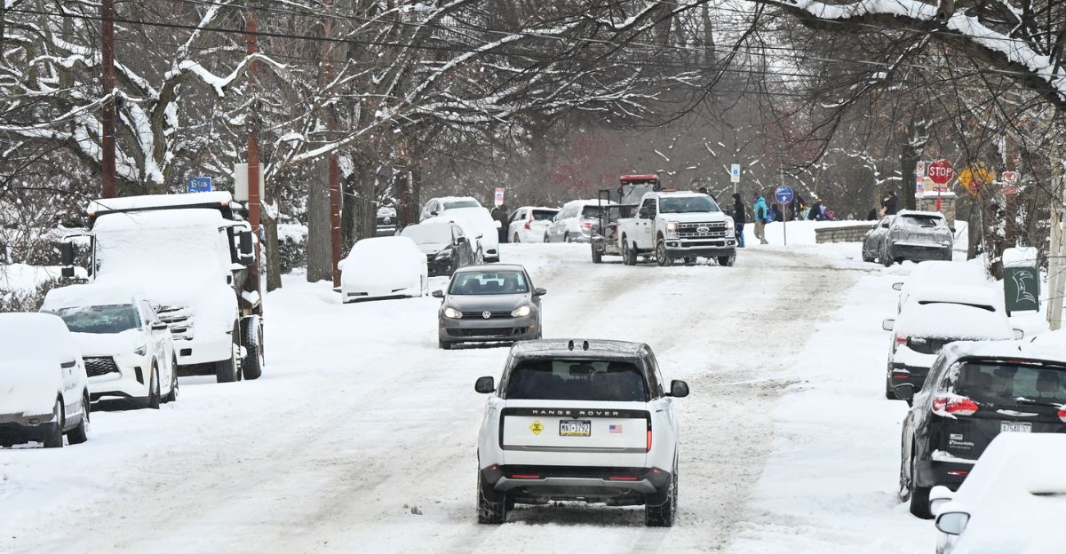
The Midwest bears a significant portion of the storm’s impact. Michigan is forecast to receive 6 to 8 inches of snow with gusts up to 40 mph, while Indiana sees 2 to 6 inches and Illinois 2 to 5 inches.
Snow-covered interstates and drifting snow threaten major freight and commuter routes. Officials warn that even treated roads may quickly become impassable as snowfall intensifies.
Great Lakes Amplification
Lake-effect snow dramatically increases totals downwind of Lakes Superior, Michigan, Erie, and Ontario. Cold air passing over relatively warmer lake waters fuels narrow but intense snow bands.
These bands can dump several inches in just a few hours, catching drivers off guard. Areas near the Great Lakes face rapidly changing conditions, with clear skies giving way to whiteouts in minutes.
New York’s Snow Belt Hit Hard
In New York, the Tug Hill Plateau and Oswego region are expected to receive 5 to 10 inches of snow. Persistent lake-effect bands reduce visibility and create deep drifts along secondary roads. Even short-distance travel becomes dangerous under these conditions.
Authorities caution that emergency services may struggle to reach stranded drivers if snow bands stall over the same locations.
Ohio and Pennsylvania Impacts
Ohio and Pennsylvania are forecast to receive between 2 and 5 inches of snow, enough to significantly disrupt travel. Gusty winds increase the likelihood of icy patches and drifting snow along interstates.
Urban centers face delayed commutes, while rural areas risk temporary isolation. Transportation officials urge residents to delay non-essential travel until plowing operations can stabilize conditions.
Appalachian Freeze Sets In
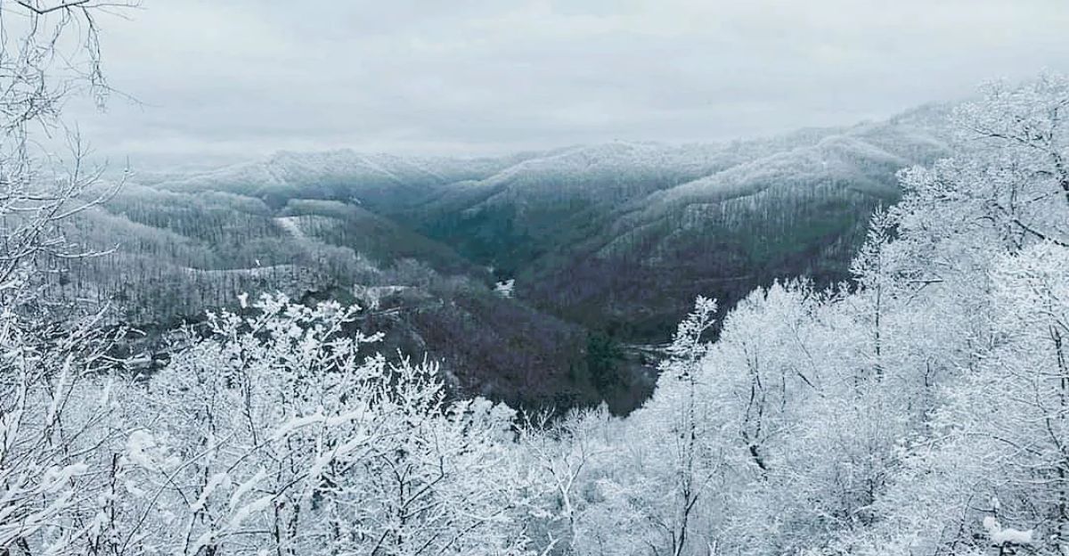
The Appalachian region faces a dangerous combination of snow, wind, and extreme cold. West Virginia may see up to 6 inches of snow with gusts reaching 40 mph and wind chills dropping to -10°F.
Tennessee’s Smoky Mountains are forecast to receive 2 to 6 inches. These conditions raise frostbite risks for anyone stranded outdoors for extended periods.
Maryland’s Slippery Conditions
Maryland is expected to receive 2 to 3 inches of snow, a relatively modest amount that still poses major risks during rush hour.
Temperatures near freezing increase the likelihood of icy roads, especially on bridges and overpasses. Even light snow accumulation can snarl traffic in densely populated corridors, prompting officials to urge drivers to remain off the roads if possible.
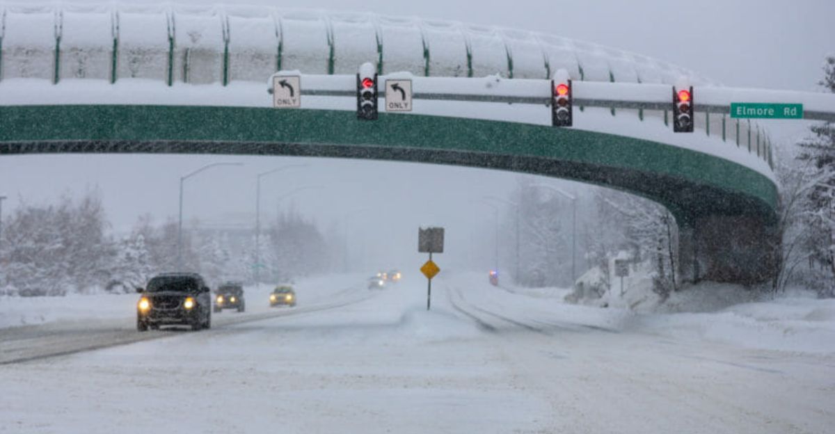
Alaska’s Severe Contribution
Alaska plays a critical role in this storm’s overall severity. In parts of the Aleutians, snowfall may reach up to 20 inches with wind gusts as high as 65 mph. The slow-moving nature of the system prolongs hazardous conditions.
These extreme winds and heavy snow contribute significantly to the nationwide alert count and underscore the storm’s geographic scale.
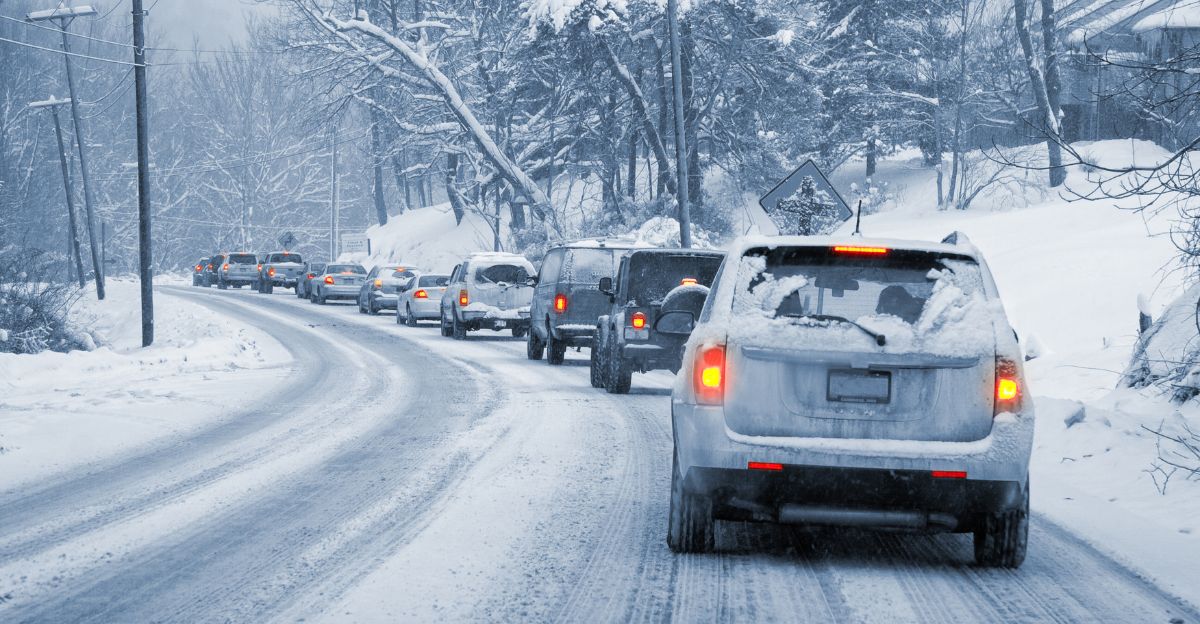
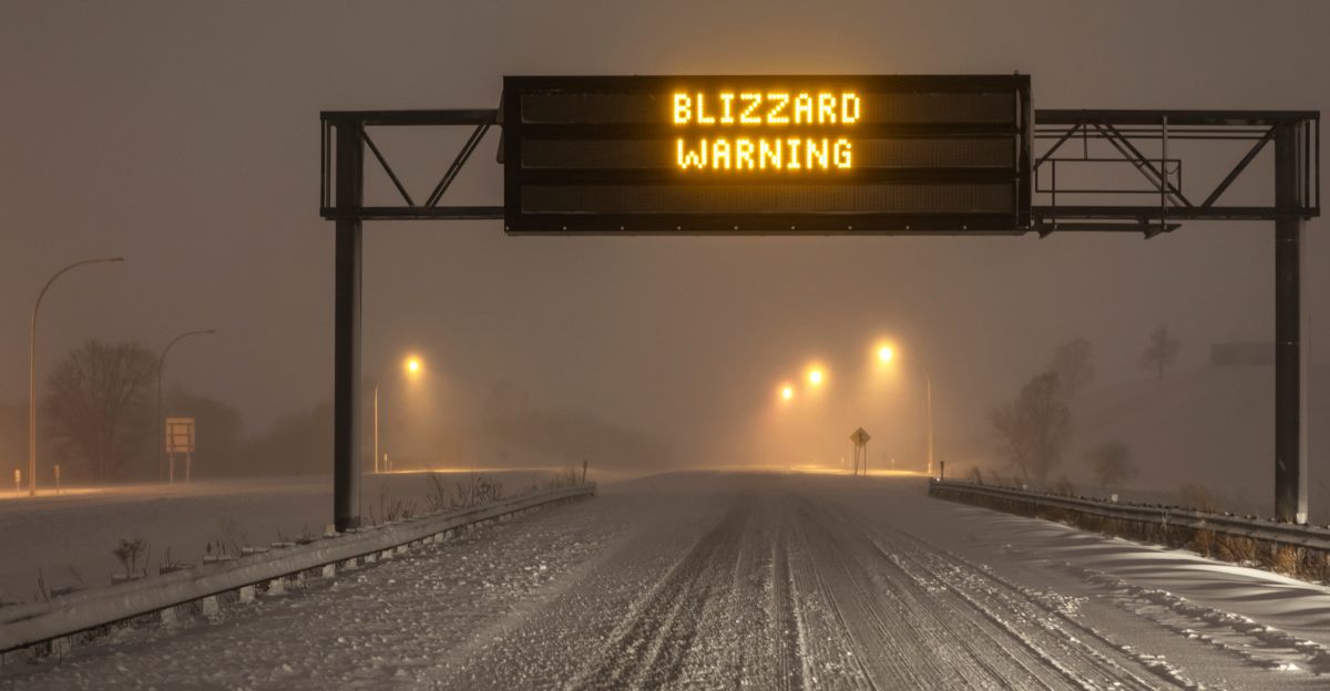
Travel Warnings Intensify
The National Weather Service repeatedly emphasizes that “travel could be very difficult.” Morning and evening commutes face the highest risk, as snowfall rates increase during peak traffic hours. Blowing snow may completely obscure lane markings and road edges.
Drivers who become stuck may face hours of exposure in subfreezing temperatures, increasing the danger level substantially.
Risk of Overnight Stranding
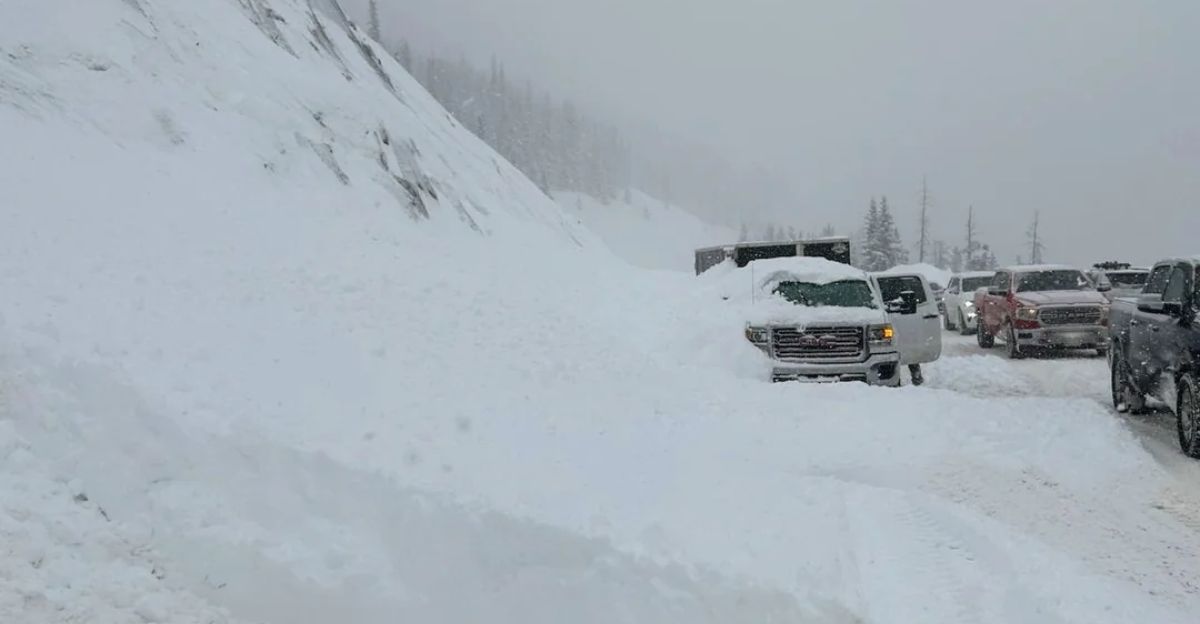
One of the most serious threats comes from overnight travel. As temperatures drop, snow becomes harder to clear, and drifting intensifies.
Vehicles that slide off roads may be quickly buried by blowing snow. Emergency responders warn that rescue times could be extended, especially in rural or mountainous areas where access routes are limited.
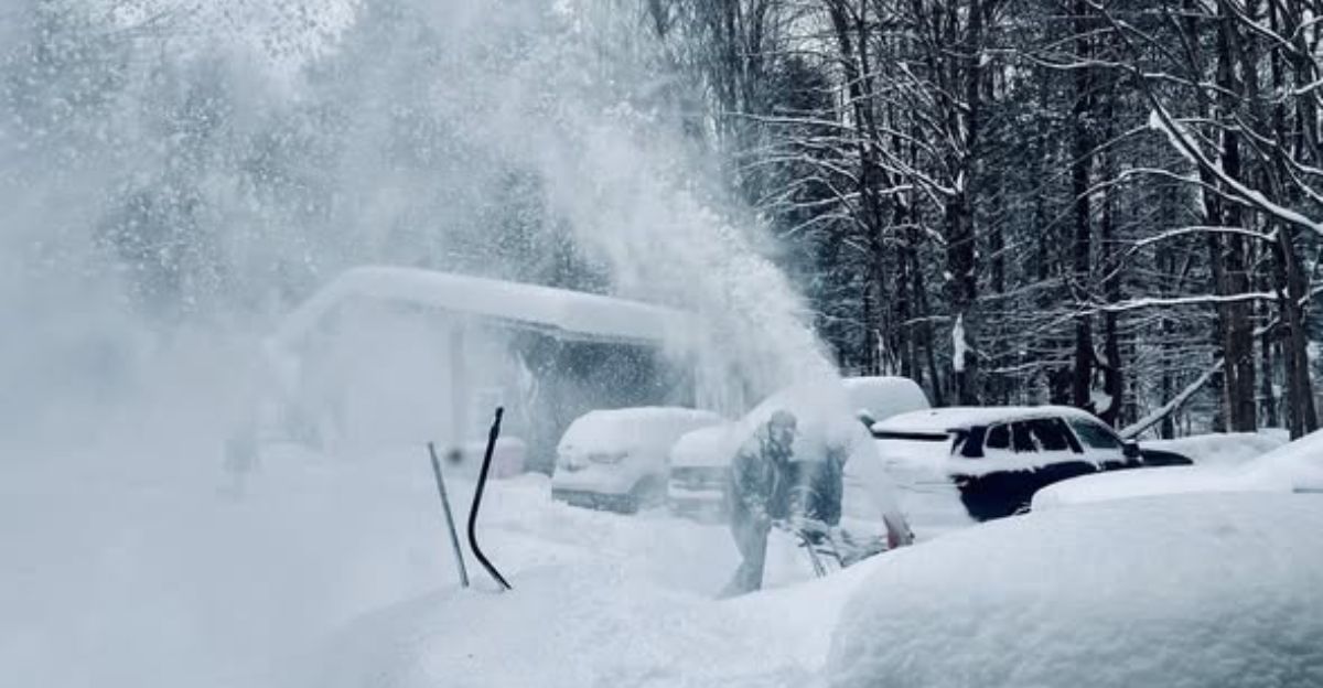
Power Outage Concerns

Where heavy snow coincides with strong winds, power outages are possible. Snow-laden branches and trees may snap, bringing down power lines.
This risk is highest in Great Lakes and Appalachian regions. Outages could last longer due to hazardous road conditions delaying repair crews. Residents are advised to prepare for potential loss of heat during extreme cold.
Economic Disruptions
The storm’s reach affects supply chains, deliveries, and regional commerce. Truck traffic along major corridors may be halted, delaying essential goods.
Businesses face staffing shortages as employees are unable to travel safely. Even short-lived shutdowns can ripple outward, particularly when multiple states experience disruptions simultaneously.
Emergency Management Response
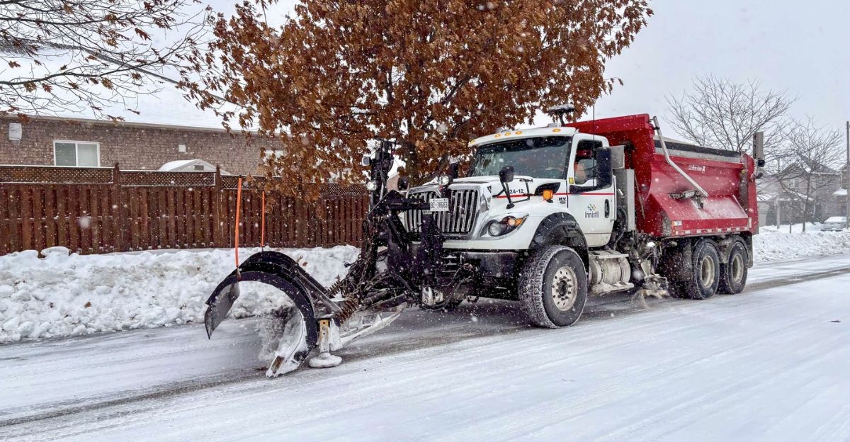
State and local agencies activate emergency protocols across the affected regions. Snowplows, road salt operations, and warming centers are deployed in anticipation of prolonged impacts.
Coordination between transportation departments and utility companies aims to restore mobility and power as quickly as conditions allow. Officials stress that public cooperation is vital to ensure responder safety.
Extended Hazard Window
This storm is slow-moving, increasing the duration of dangerous conditions. Lake-effect snow may persist even after the primary system weakens. Cold temperatures prevent rapid melting, allowing snow and ice to linger on roadways.
Forecasters warn that hazardous travel may continue beyond the initial snowfall, especially during early morning hours.
Meteorologists Urge Caution
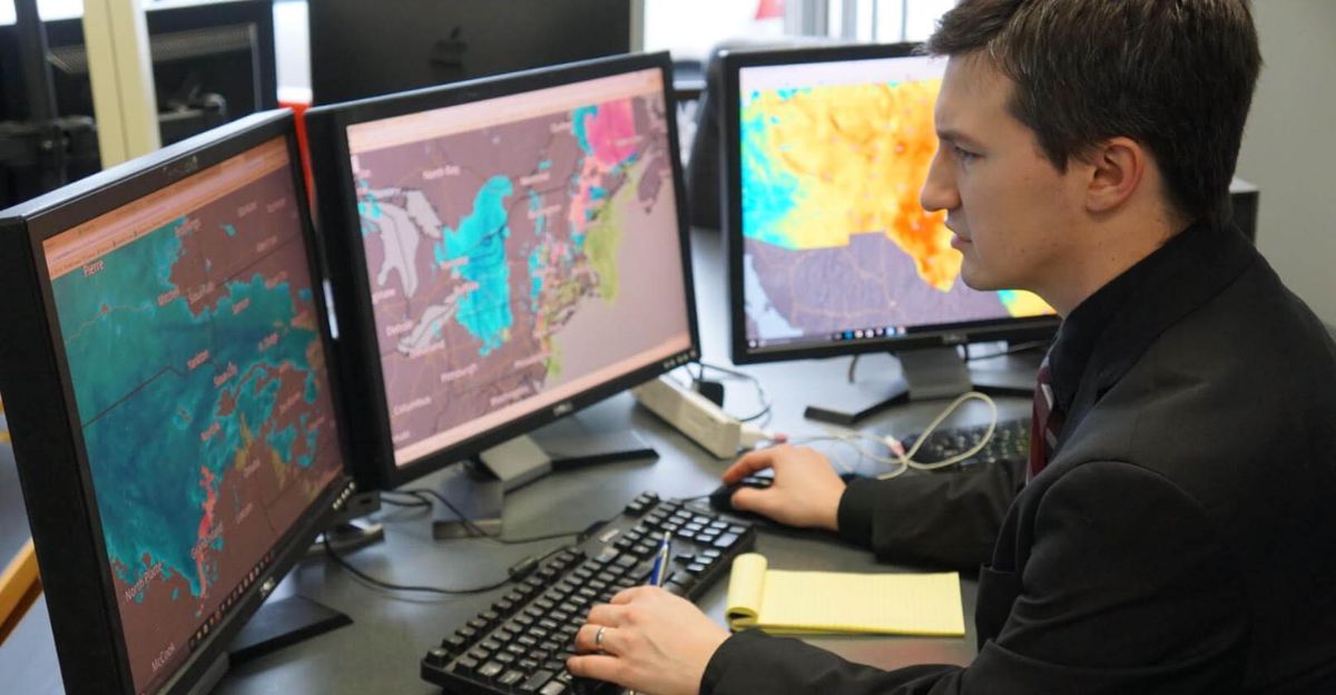
Weather experts emphasize that snowfall totals alone do not define the danger. Wind speed, temperature, and visibility are equally critical. Even regions expecting lower accumulations may experience near-whiteout conditions.
The unpredictability of lake-effect bands adds another layer of risk, reinforcing the need for constant situational awareness.
Public Safety Messaging

Officials urge residents to avoid unnecessary travel, prepare emergency kits, and monitor weather updates closely.
Simple precautions—such as charging devices, keeping blankets in vehicles, and checking on vulnerable neighbors—can reduce harm. Authorities stress that delaying travel by even a few hours can prevent accidents and reduce strain on emergency services.
Broader Winter Pattern
This storm fits into a broader pattern of active mid-winter weather. Mid-January through mid-February historically marks a peak period for significant snow events across the northern United States.
The combination of Arctic air and active storm tracks increases the likelihood of additional systems impacting the same regions in coming weeks.
A Test of Preparedness
With 105 million people under freeze alerts, this blizzard serves as a critical test of infrastructure and public readiness. The storm’s wide reach highlights how interconnected weather impacts have become across regions.
As crews battle snow and cold, officials reiterate a clear message: staying off the roads may be the safest decision until conditions improve.
Sources:
Likely title: “Weather Weeklies – Long Range Forecast: Mid-January 2026 Winter Storm Pattern”, Publication/platform: Weather Weeklies (YouTube channel)
HailTrace YouTube, Dec 30, 2025Likely title: “HailTrace – Winter Outlook: Early January 2026 Arctic Air and Storm Risk”
Publication/platform: HailTrace (YouTube channel)MSN/notes, Jan 15–16, 2026
Likely refers to: Internal or compiled notes based on MSN weather coverage (no single public article title given in your text)
Publication/platform: MSN (Microsoft News)
National Weather Service (general criteria / organization overview), n/a
Likely title(s):“Blizzard Warning” (NWS definitions and criteria page)“About the National Weather Service” (NWS organizational overview)
Publication/platform: National Weather Service (NWS)