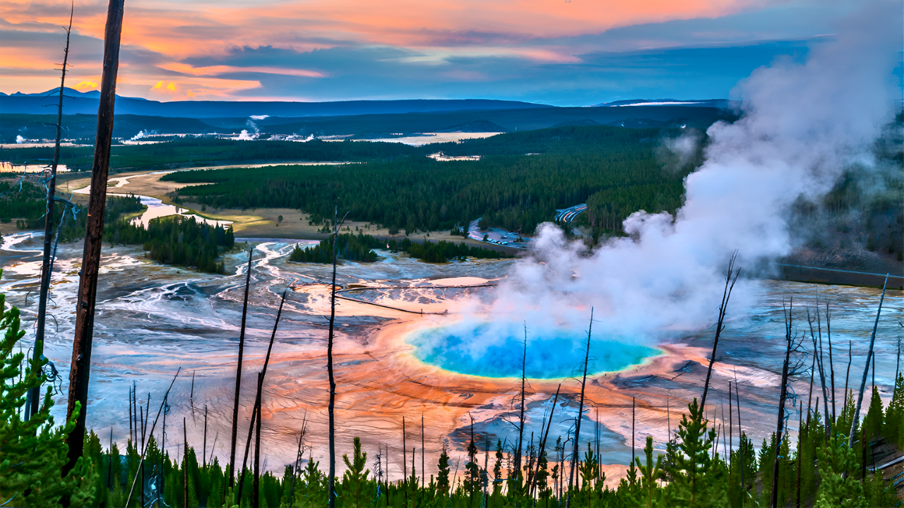
The ground beneath Yellowstone National Park hides one of the world’s most powerful geological threats: a supervolcano capable of reshaping the continent.
While the park’s geysers and hot springs attract millions of visitors, scientists warn that the forces below could unleash devastation on a scale rarely seen in human history.
Communities in the Crosshairs
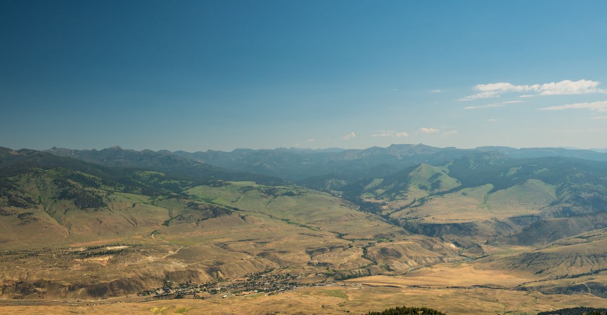
Several towns and cities lie perilously close to the Yellowstone caldera, placing them at the epicenter of potential disaster. West Yellowstone, Montana, with its 1,300 residents, sits just miles from the volcano’s western rim.
Federal Emergency Management Agency (FEMA) designates this area as “Zone One”—where survival in the event of a supereruption is impossible. Pyroclastic flows—scorching avalanches of gas and debris—would sweep through at over 186 miles per hour, incinerating everything in their path and burying the town under meters of ash and rock.
Mammoth Hot Springs, Wyoming, located within the park itself, is home to the park headquarters and hundreds of employees and visitors.
Its position directly atop the volcanic system makes it ground zero for catastrophic pyroclastic currents, leaving no time for evacuation. Gardiner, Montana, just north of the park, would also be engulfed within minutes, its historic streets erased by the initial blast.
Even communities farther out, such as Livingston, Montana, and Jackson Hole, Wyoming, are not safe. Scientific models show that pyroclastic flows could reach these towns within an hour, following valleys and lowlands with devastating efficiency. Jackson Hole, a world-renowned resort area, would see its economy and infrastructure wiped out in hours.
Ashfall: A Regional Catastrophe
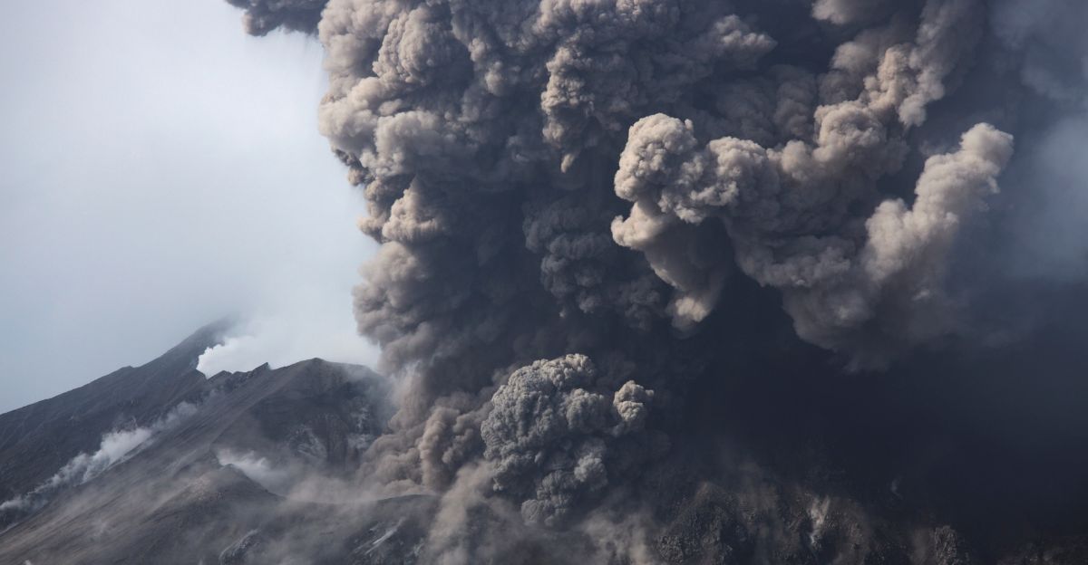
Beyond the immediate blast zone, the threat shifts from fire to ash. Billings, Montana’s largest city, lies 109 miles from Yellowstone but sits directly in the projected ashfall path. Researchers estimate the city would be buried under more than four feet of volcanic ash within two days of an eruption. This would collapse roofs, contaminate water supplies, and paralyze the city’s economy for years.
Casper, Wyoming, and Boise, Idaho, though farther from the caldera, would also face catastrophic ash burial. Up to a meter of ash could render these cities uninhabitable, collapsing buildings and shutting down all transportation and utilities. Even Salt Lake City, Utah, and Denver, Colorado—hundreds of miles away—could see ash depths exceeding three feet, crippling infrastructure and forcing mass evacuations.
The Human Toll and Economic Fallout
The scale of destruction from a Yellowstone supereruption would be unprecedented in modern America. Scientists estimate that within a 621-mile radius—the so-called “kill zone”—fatality rates could reach 90 percent, potentially affecting up to 78 million people.
Deaths would result not only from the initial blast and ashfall but also from suffocation, as volcanic ash mixes with moisture in the lungs to form a cement-like substance. Even those wearing basic dust masks would face permanent lung damage, overwhelming medical systems within hours.
FEMA’s assessments warn that direct economic damages could reach $3 trillion, roughly 20 percent of the U.S. gross domestic product. Recovery for the hardest-hit regions could take decades, if it is even possible.
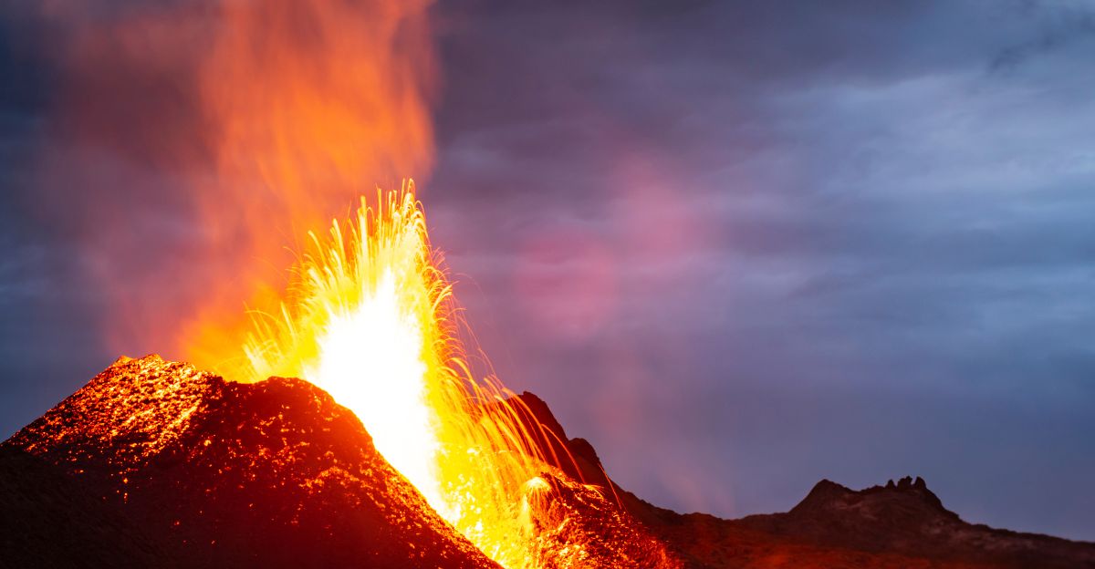
A History of Supereruptions
Yellowstone’s volcanic history is marked by three supereruptions over the past 2.1 million years. The most recent, 640,000 years ago, created the current caldera and blanketed much of North America in ash.
Each event ejected hundreds of cubic kilometers of material, with intervals between eruptions averaging around 660,000 years.
While some speculate that another eruption is “overdue,” U.S. Geological Survey (USGS) scientists caution that volcanic systems do not follow predictable schedules. Current monitoring shows no signs of imminent activity.
Monitoring and Mitigation
Despite the catastrophic potential, scientists emphasize that Yellowstone’s magma chamber is currently “mostly solid,” with only 5–15 percent molten rock—far below the threshold needed for a supereruption.
The USGS maintains a sophisticated monitoring network, tracking thousands of small earthquakes, ground deformation, and gas emissions in real time. The volcano alert level remains at normal, and the aviation color code is green.
Most experts agree that the next volcanic activity at Yellowstone is far more likely to be a localized lava flow or a hydrothermal explosion—events dangerous to those nearby but not civilization-ending. The annual probability of a supereruption is estimated at just 1 in 730,000.
A Sleeping Giant
If Yellowstone were to erupt on a supervolcanic scale, the consequences would extend far beyond the American West. Ash clouds would spread across North America, grounding aircraft, contaminating water supplies, and disrupting power grids.
The injection of sulfur dioxide and aerosols into the atmosphere could trigger a “volcanic winter,” disrupting global agriculture and threatening food security for years.
For now, Yellowstone’s supervolcano remains a sleeping giant—closely watched, but not immediately threatening. Scientists continue to refine their models and monitoring systems, aiming to provide as much warning as possible should the unimaginable ever begin to unfold